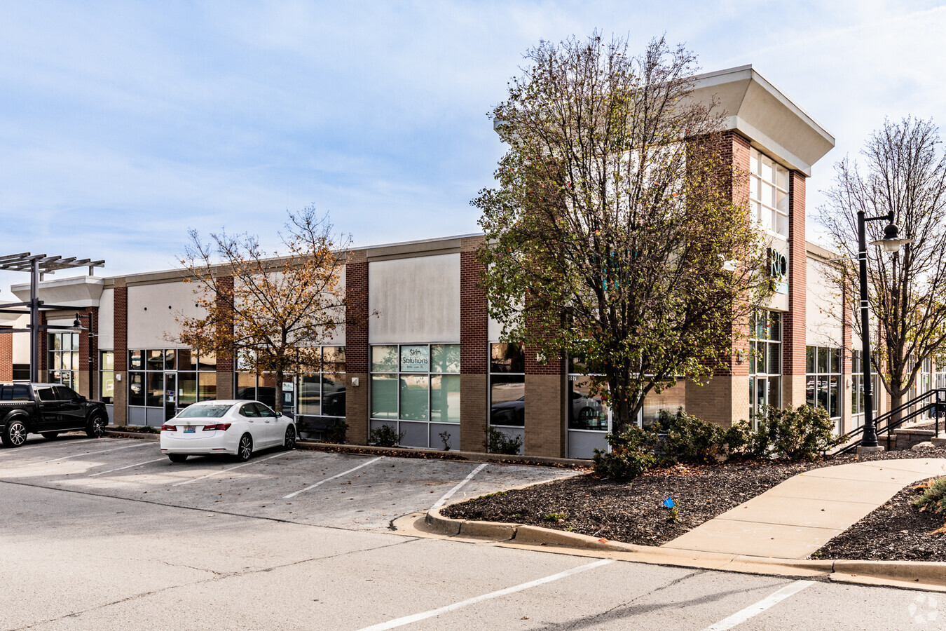
Property Record
8835 Nw 63Rd St, Kansas City, MO 64152
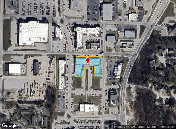
NEARBY LISTINGS FOR SALE OR LEASE
Property Detail
8835 Nw 63Rd St
Kansas City, MO-KS
Parkville Commons 8Th Plat
20-70-26-100-007-003-000
PARKVILLE COMMONS 8TH PLAT LOT 9
Officebuilding
Platte
X
Missouri
29095C0108G
9
2023
1.04 AC
2023
I-29 Corridor
030309
Kansas City
41,640 SF
DEMOGRAPHICS near 8835 Nw 63Rd St
1 Mile
3 Mile
5 Mile
2024 Total Population
5,089
43,056
100,011
2029 Population
5,625
47,093
108,188
Pop Growth 2024-2029
+ 10.53%
+ 9.38%
+ 8.18%
Average Age
40
40
39
2024 Total Households
1,981
17,249
39,878
HH Growth 2024-2029
+ 10.90%
+ 9.57%
+ 8.36%
Median Household Inc
$90,029
$84,900
$78,793
Avg Household Size
2.40
2.40
2.40
2024 Avg HH Vehicles
2.00
2.00
2.00
Median Home Value
$364,460
$291,966
$275,118
Median Year Built
1986
1985
1987
Nearby Places
- Restaurants
- Banks
- Shops
- Fitness
- Groceries
PUBLIC TRANSPORTATION
AIRPORT
Kansas City International
DRIVE
WALK
Distance
Kansas City International
18 min
11.2 mi
Freight Ports
Tulsa Port Of Catoosa
DRIVE
WALK
Distance
Tulsa Port Of Catoosa
278 min
245.6 mi
SALE & LEASE HISTORY
LISTING DATE
SALE/LEASE

Sep 25, 2016
For Lease
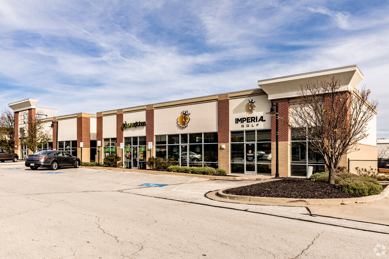
Nearby Properties
Address
Land Use
TOTAL SIZE
Lot Size
Zoning
Address
Land Use
TOTAL SIZE
Lot Size
Zoning
26.13 AC
PEC
Address
Land Use
TOTAL SIZE
Lot Size
Zoning
1,687,897 SF
52.95 AC
Address
Land Use
TOTAL SIZE
Lot Size
Zoning
105,648 SF
95.16 AC
Address
Land Use
TOTAL SIZE
Lot Size
Zoning
164,676 SF
4.40 AC
B4P
Address
Land Use
TOTAL SIZE
Lot Size
Zoning
404,594 SF
40.87 AC
Address
Land Use
TOTAL SIZE
Lot Size
Zoning
112,170 SF
24.03 AC
Address
Land Use
TOTAL SIZE
Lot Size
Zoning
160,556 SF
8.31 AC
Address
Land Use
TOTAL SIZE
Lot Size
Zoning
111,238 SF
19.78 AC
Address
Land Use
TOTAL SIZE
Lot Size
Zoning
370,998 SF
34.29 AC
Address
Land Use
TOTAL SIZE
Lot Size
Zoning
215,087 SF
30.23 AC
Address
Land Use
TOTAL SIZE
Lot Size
Zoning
187,674 SF
14.62 AC
Address
Land Use
TOTAL SIZE
Lot Size
Zoning
207,491 SF
616.94 AC
KR1
Address
Land Use
TOTAL SIZE
Lot Size
Zoning
63,174 SF
17.86 AC
Address
Land Use
TOTAL SIZE
Lot Size
Zoning
63,273 SF
13.56 AC
Address
Land Use
TOTAL SIZE
Lot Size
Zoning
437,830 SF
17.60 AC
Address
Land Use
TOTAL SIZE
Lot Size
Zoning
245,190 SF
25.40 AC
Address
Land Use
TOTAL SIZE
Lot Size
Zoning
448,340 SF
6.42 AC
Address
Land Use
TOTAL SIZE
Lot Size
Zoning
61,126 SF
5.95 AC
Address
Land Use
TOTAL SIZE
Lot Size
Zoning
32,292 SF
8.95 AC
Address
Land Use
TOTAL SIZE
Lot Size
Zoning
25,700 SF
10.92 AC
Address
Land Use
TOTAL SIZE
Lot Size
Zoning
251,983 SF
15.77 AC
Address
Land Use
TOTAL SIZE
Lot Size
Zoning
53,769 SF
7.48 AC
R1
Address
Land Use
TOTAL SIZE
Lot Size
Zoning
28,380 SF
9.09 AC
Address
Land Use
TOTAL SIZE
Lot Size
Zoning
52,129 SF
9.57 AC
Address
Land Use
TOTAL SIZE
Lot Size
Zoning
18,500 SF
13.84 AC
Address
Land Use
TOTAL SIZE
Lot Size
Zoning
25,621 SF
1.09 AC
B4P
Address
Land Use
TOTAL SIZE
Lot Size
Zoning
51,181 SF
9.88 AC
Address
Land Use
TOTAL SIZE
Lot Size
Zoning
48,857 SF
3.74 AC
Address
Land Use
TOTAL SIZE
Lot Size
Zoning
23,272 SF
5.36 AC
Address
Land Use
TOTAL SIZE
Lot Size
Zoning
The World's #1 Commercial Real Estate Marketplace
Connect with us
© 2025 CoStar Group
The information above has been obtained from sources believed reliable. While we do not doubt its accuracy we have not verified it and make no guarantee, warranty or representation about it. It is your responsibility to independently confirm its accuracy and completeness. Any projections, opinions, assumptions, or estimates used are for example only and do not represent the current or future performance of the property. The value of this transaction to you depends on tax and other factors which should be evaluated by your tax, financial, and legal advisors. You and your advisors should conduct a careful, independent investigation of the property to determine to your satisfaction the suitability of the property for your needs.