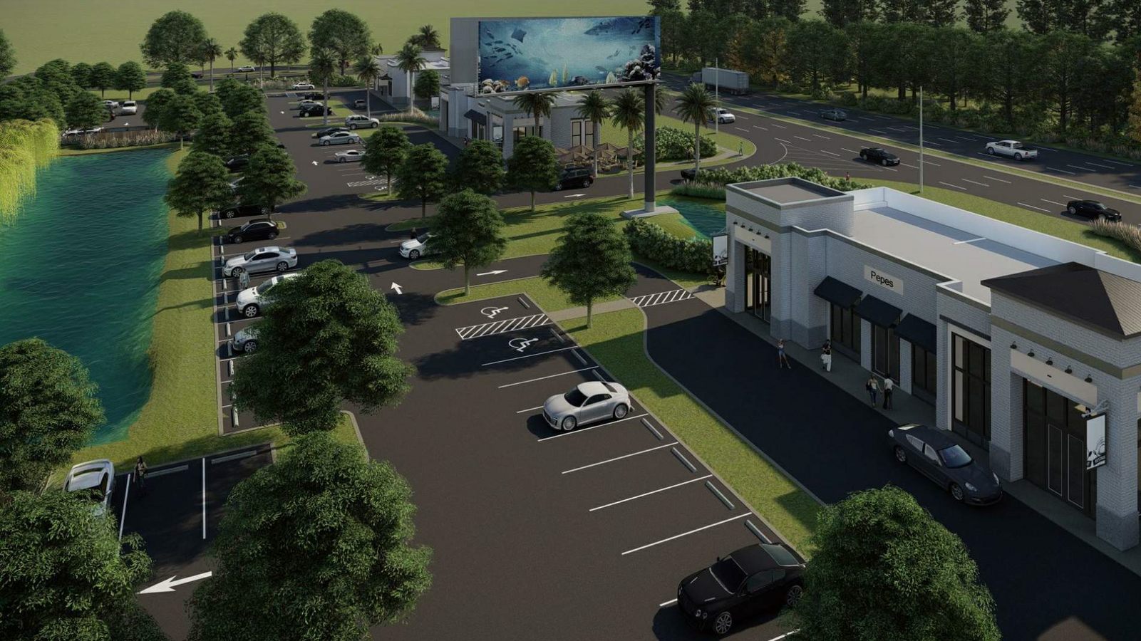
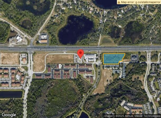
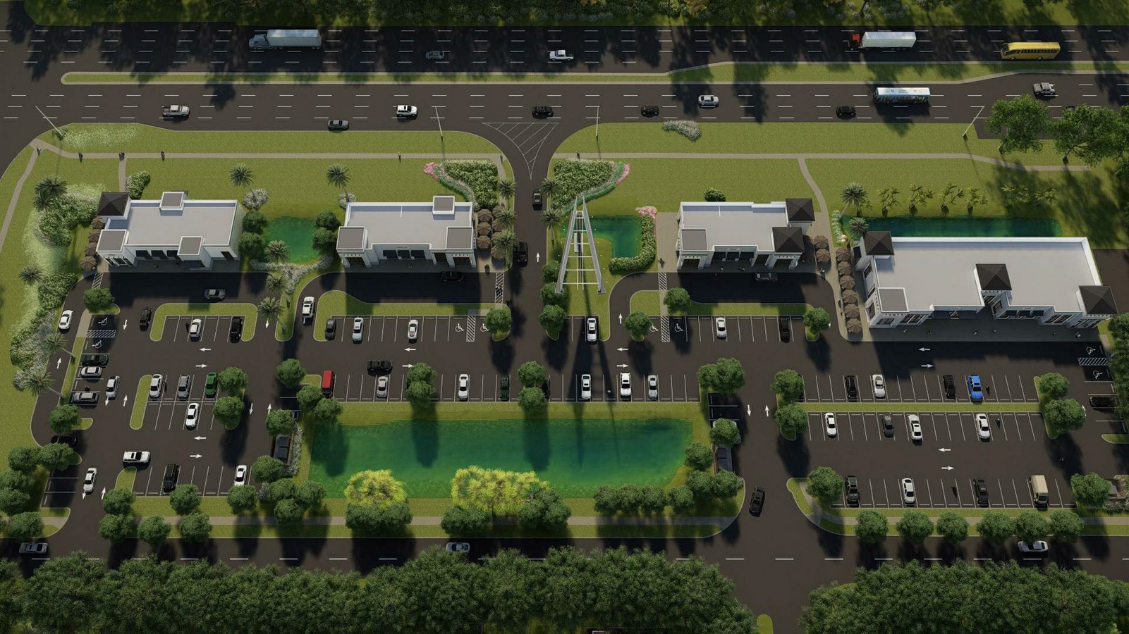
Property Record
8840 W Irlo Bronson Memorial Hwy, Kissimmee, FL 34747

NEARBY LISTINGS FOR SALE OR LEASE
Property Detail
8840 W Irlo Bronson Memorial Hwy
Orlando-Kissimmee-Sanford, FL
Lindfields Reserve
05-25-27-3968-0001-0A30
LINDFIELDS RESERVE PB 11 PG 107 TRACT A3 6/25/27
Commercialacreage
Osceola
A
Florida
12105C0100G
a3
2023
3.18 AC
2024
Osceola Outlying
040811
Orlando
DEMOGRAPHICS near 8840 W Irlo Bronson Memorial Hwy
1 Mile
3 Mile
5 Mile
2024 Total Population
11,840
50,871
97,578
2029 Population
14,709
61,950
118,668
Pop Growth 2024-2029
+ 24.23%
+ 21.78%
+ 21.61%
Average Age
35
38
38
2024 Total Households
4,469
19,602
35,438
HH Growth 2024-2029
+ 24.50%
+ 21.60%
+ 21.52%
Median Household Inc
$55,742
$58,904
$67,159
Avg Household Size
2.60
2.50
2.70
2024 Avg HH Vehicles
2.00
2.00
2.00
Median Home Value
$267,388
$262,552
$281,490
Median Year Built
2010
2005
2006
Nearby Places
- Restaurants
- Banks
- Shops
- Fitness
- Groceries
PUBLIC TRANSPORTATION
AIRPORT
Orlando International
DRIVE
WALK
Distance
Orlando International
39 min
26.3 mi
Freight Ports
Port of Tampa Bay
DRIVE
WALK
Distance
Port of Tampa Bay
81 min
68.0 mi
SALE & LEASE HISTORY
LISTING DATE
SALE/LEASE

Apr 06, 2021
For Lease
Nearby Properties
Address
Land Use
TOTAL SIZE
Lot Size
Zoning
Address
Land Use
TOTAL SIZE
Lot Size
Zoning
386,104 SF
8.14 AC
Address
Land Use
TOTAL SIZE
Lot Size
Zoning
1,314,060 SF
32.08 AC
P-D
Address
Land Use
TOTAL SIZE
Lot Size
Zoning
1,981,135 SF
2.60 AC
P-D
Address
Land Use
TOTAL SIZE
Lot Size
Zoning
1,906,663 SF
29.75 AC
P-D
Address
Land Use
TOTAL SIZE
Lot Size
Zoning
883,200 SF
75.26 AC
P-D
Address
Land Use
TOTAL SIZE
Lot Size
Zoning
874,488 SF
159.54 AC
H/R
Address
Land Use
TOTAL SIZE
Lot Size
Zoning
414,620 SF
16.64 AC
P-D
Address
Land Use
TOTAL SIZE
Lot Size
Zoning
283,974 SF
3.23 AC
P-D
Address
Land Use
TOTAL SIZE
Lot Size
Zoning
354,600 SF
12.03 AC
P-D
Address
Land Use
TOTAL SIZE
Lot Size
Zoning
457,911 SF
9.60 AC
P-D
Address
Land Use
TOTAL SIZE
Lot Size
Zoning
280,323 SF
16.27 AC
OCG
Address
Land Use
TOTAL SIZE
Lot Size
Zoning
480,142 SF
29.57 AC
OPD
Address
Land Use
TOTAL SIZE
Lot Size
Zoning
363,694 SF
17.65 AC
Address
Land Use
TOTAL SIZE
Lot Size
Zoning
364,023 SF
18.77 AC
OPD
Address
Land Use
TOTAL SIZE
Lot Size
Zoning
418,368 SF
12.66 AC
Address
Land Use
TOTAL SIZE
Lot Size
Zoning
342,019 SF
23 AC
OCG
Address
Land Use
TOTAL SIZE
Lot Size
Zoning
277,616 SF
19.03 AC
Address
Land Use
TOTAL SIZE
Lot Size
Zoning
128,000 SF
19.60 AC
P-D
Address
Land Use
TOTAL SIZE
Lot Size
Zoning
305,617 SF
0.93 AC
P-D
Address
Land Use
TOTAL SIZE
Lot Size
Zoning
357,292 SF
1.34 AC
P-D
Address
Land Use
TOTAL SIZE
Lot Size
Zoning
353,423 SF
16.51 AC
PUD
Address
Land Use
TOTAL SIZE
Lot Size
Zoning
273,164 SF
P-D
Address
Land Use
TOTAL SIZE
Lot Size
Zoning
330,913 SF
16.74 AC
PUD
Address
Land Use
TOTAL SIZE
Lot Size
Zoning
125,486 SF
30.26 AC
C
Address
Land Use
TOTAL SIZE
Lot Size
Zoning
59,868 SF
0.81 AC
P-D
Address
Land Use
TOTAL SIZE
Lot Size
Zoning
272,106 SF
12.22 AC
Address
Land Use
TOTAL SIZE
Lot Size
Zoning
110,476 SF
14.11 AC
OCG
Address
Land Use
TOTAL SIZE
Lot Size
Zoning
142,828 SF
429.01 AC
P-D
Address
Land Use
TOTAL SIZE
Lot Size
Zoning
315,346 SF
22.69 AC
PUD
Address
Land Use
TOTAL SIZE
Lot Size
Zoning
152,444 SF
4.52 AC
A
The World's #1 Commercial Real Estate Marketplace
Connect with us
© 2025 CoStar Group
The information above has been obtained from sources believed reliable. While we do not doubt its accuracy we have not verified it and make no guarantee, warranty or representation about it. It is your responsibility to independently confirm its accuracy and completeness. Any projections, opinions, assumptions, or estimates used are for example only and do not represent the current or future performance of the property. The value of this transaction to you depends on tax and other factors which should be evaluated by your tax, financial, and legal advisors. You and your advisors should conduct a careful, independent investigation of the property to determine to your satisfaction the suitability of the property for your needs.