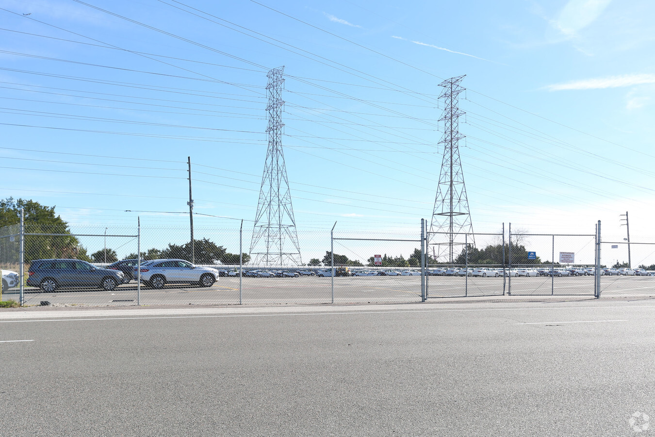
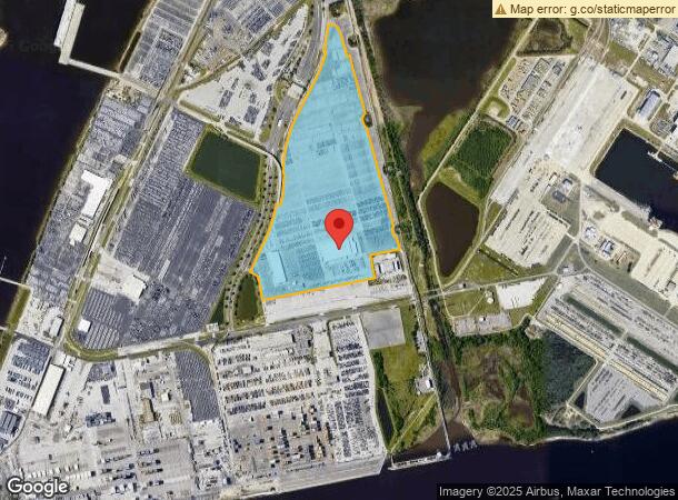
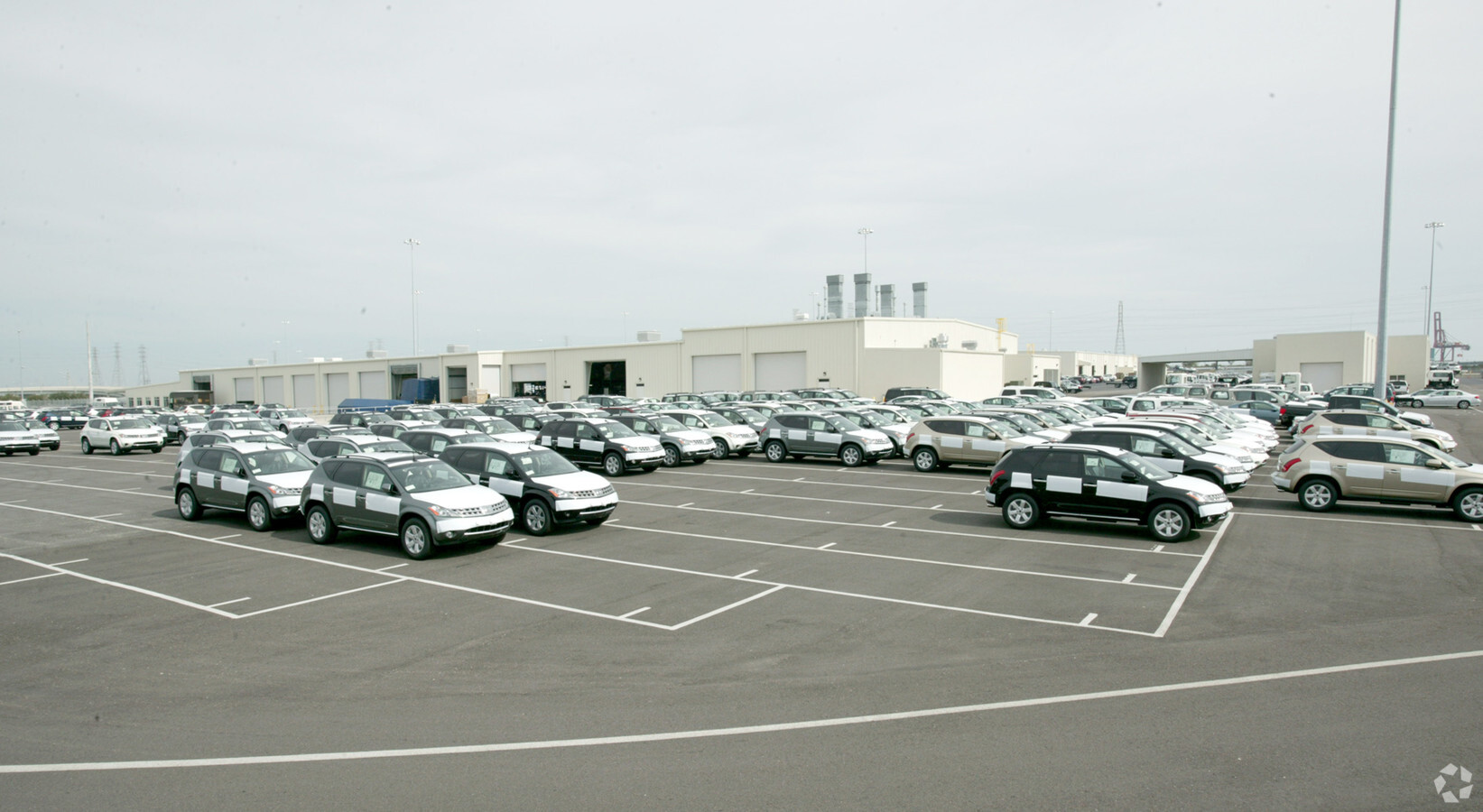
Property Record
8975 Dave Rawls Blvd, Jacksonville, FL 32226
NEARBY LISTINGS FOR SALE OR LEASE
Property Detail
8975 Dave Rawls Blvd
160243-2800
Section Land
Structuresonleasedland
19-1S-28E 72.39 PT SEC 19,30 RECD O/R 1956-476 BEING UNRECD LEASE TO DISTRIBUTION AND AUTO SERVICE IN DTD 20050829
X
Duval
12031C0218J
Florida
0
72.39 AC
2024
Ocean Way
010104
Jacksonville (Florida)
87,913 SF
Jacksonville, FL
DEMOGRAPHICS near 8975 Dave Rawls Blvd
1 Mile
3 Mile
5 Mile
2024 Total Population
119
12,172
89,341
2029 Population
132
12,656
93,184
Pop Growth 2024-2029
+ 10.92%
+ 3.98%
+ 4.30%
Average Age
39
42
38
2024 Total Households
45
4,742
34,583
HH Growth 2024-2029
+ 11.11%
+ 4.07%
+ 4.43%
Median Household Inc
$76,667
$85,810
$61,607
Avg Household Size
2.60
2.50
2.50
2024 Avg HH Vehicles
2.00
2.00
2.00
Median Home Value
$354,999
$326,061
$256,338
Median Year Built
2010
1986
1984
Nearby Places
- Restaurants
- Banks
- Shops
- Fitness
- Groceries
PUBLIC TRANSPORTATION
AIRPORT
Jacksonville International
DRIVE
WALK
Distance
Jacksonville International
26 min
13.8 mi
Freight Ports
Jacksonville Port
DRIVE
WALK
Distance
Jacksonville Port
29 min
12.7 mi
Nearby Properties
Address
Land Use
TOTAL SIZE
Lot Size
Zoning
Address
Land Use
TOTAL SIZE
Lot Size
Zoning
714,403 SF
765.52 AC
IW
Address
Land Use
TOTAL SIZE
Lot Size
Zoning
437 SF
304.61 AC
PBF-1
Address
Land Use
TOTAL SIZE
Lot Size
Zoning
60,843 SF
345.03 AC
IW
Address
Land Use
TOTAL SIZE
Lot Size
Zoning
181,827 SF
269.11 AC
IW
Address
Land Use
TOTAL SIZE
Lot Size
Zoning
2,865 SF
958.93 AC
PBF-1
Address
Land Use
TOTAL SIZE
Lot Size
Zoning
67,866 SF
81.07 AC
IW
Address
Land Use
TOTAL SIZE
Lot Size
Zoning
63,266 SF
75.60 AC
IW
Address
Land Use
TOTAL SIZE
Lot Size
Zoning
114.19 AC
IW
Address
Land Use
TOTAL SIZE
Lot Size
Zoning
104,472 SF
62.78 AC
IW
Address
Land Use
TOTAL SIZE
Lot Size
Zoning
114,420 SF
24.30 AC
IH
Address
Land Use
TOTAL SIZE
Lot Size
Zoning
14,555 SF
37.23 AC
IW
Address
Land Use
TOTAL SIZE
Lot Size
Zoning
161,246 SF
10.13 AC
RMD-D
Address
Land Use
TOTAL SIZE
Lot Size
Zoning
56,666 SF
5.57 AC
IH
Address
Land Use
TOTAL SIZE
Lot Size
Zoning
150,558 SF
34.38 AC
IW
Address
Land Use
TOTAL SIZE
Lot Size
Zoning
95,646 SF
14.76 AC
RMD-A
Address
Land Use
TOTAL SIZE
Lot Size
Zoning
66,042 SF
25.67 AC
IW
Address
Land Use
TOTAL SIZE
Lot Size
Zoning
28,237 SF
38.01 AC
IW
Address
Land Use
TOTAL SIZE
Lot Size
Zoning
11,226 SF
79.18 AC
PBF-1
Address
Land Use
TOTAL SIZE
Lot Size
Zoning
526 SF
34.88 AC
IW
Address
Land Use
TOTAL SIZE
Lot Size
Zoning
60,114 SF
140.12 AC
PBF-1
Address
Land Use
TOTAL SIZE
Lot Size
Zoning
2,423 SF
22.14 AC
IW
Address
Land Use
TOTAL SIZE
Lot Size
Zoning
156,702 SF
15.91 AC
IW
Address
Land Use
TOTAL SIZE
Lot Size
Zoning
1,760 SF
26.55 AC
IW
Address
Land Use
TOTAL SIZE
Lot Size
Zoning
28,676 SF
2.39 AC
CCG-1
Address
Land Use
TOTAL SIZE
Lot Size
Zoning
71,349 SF
11.39 AC
RR-ACRE
Address
Land Use
TOTAL SIZE
Lot Size
Zoning
9,811 SF
15.89 AC
IW
Address
Land Use
TOTAL SIZE
Lot Size
Zoning
254,061 SF
16.92 AC
IW
Address
Land Use
TOTAL SIZE
Lot Size
Zoning
24.13 AC
IW
Address
Land Use
TOTAL SIZE
Lot Size
Zoning
21,821 SF
5.73 AC
PUD
The World's #1 Commercial Real Estate Marketplace
Connect with us
© 2025 CoStar Group
The information above has been obtained from sources believed reliable. While we do not doubt its accuracy we have not verified it and make no guarantee, warranty or representation about it. It is your responsibility to independently confirm its accuracy and completeness. Any projections, opinions, assumptions, or estimates used are for example only and do not represent the current or future performance of the property. The value of this transaction to you depends on tax and other factors which should be evaluated by your tax, financial, and legal advisors. You and your advisors should conduct a careful, independent investigation of the property to determine to your satisfaction the suitability of the property for your needs.