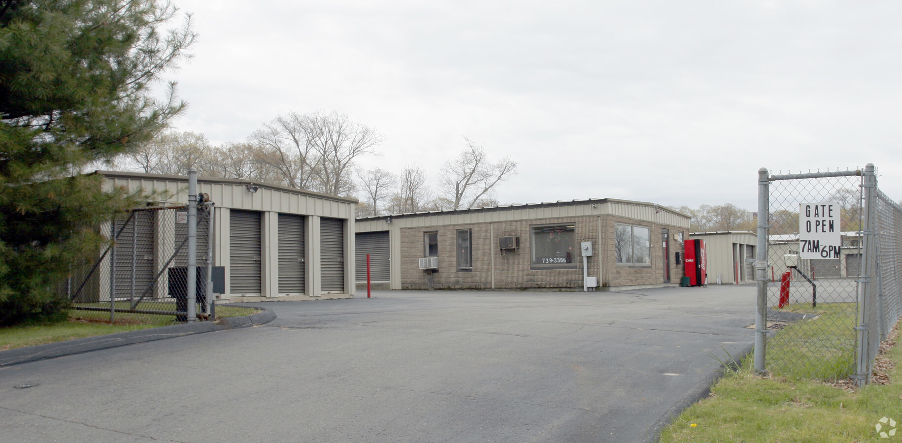
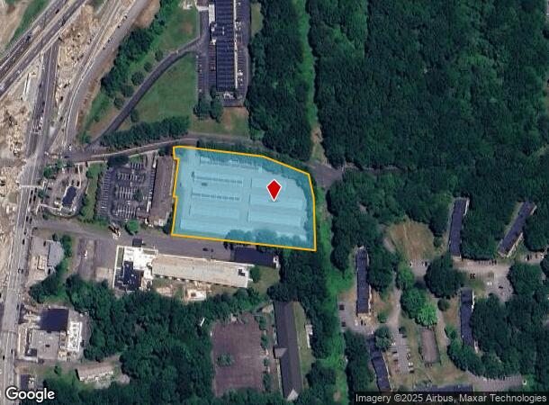
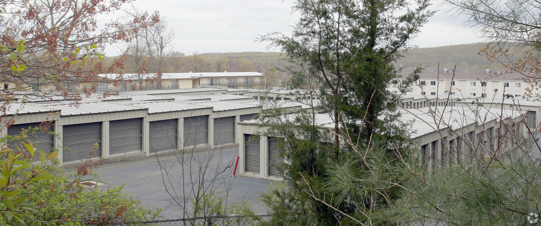
Property Record
9 King Arthur Dr, Niantic, CT 06357
NEARBY LISTINGS FOR SALE OR LEASE
-
-
View all Niantic listings for sale on LoopNet.com
Property Detail
9 King Arthur Dr
ELYM-003103-000022
Salem Manor Condos
Commercialbuilding
New London
X
Connecticut
09011C0477J
2.98 AC
2024
SW New London/East Lyme
2024
Hartford
870701
Norwich-New London, CT
308 SF
DEMOGRAPHICS near 9 King Arthur Dr
1 Mile
3 Mile
5 Mile
2024 Total Population
1,827
17,843
42,525
2029 Population
1,804
17,864
42,732
Pop Growth 2024-2029
(1.26%)
+ 0.12%
+ 0.49%
Average Age
46
46
45
2024 Total Households
796
7,509
17,626
HH Growth 2024-2029
(1.26%)
+ 0.09%
+ 0.49%
Median Household Inc
$105,511
$101,875
$93,000
Avg Household Size
2.30
2.30
2.30
2024 Avg HH Vehicles
2.00
2.00
2.00
Median Home Value
$361,618
$342,789
$334,119
Median Year Built
1974
1972
1968
Nearby Places
- Restaurants
- Banks
- Shops
- Fitness
- Groceries
PUBLIC TRANSPORTATION
COMMUTER RAIL
New London (Shore Line East - Shore Line East)
DRIVE
WALK
Distance
New London (Shore Line East - Shore Line East)
12 min
7.3 mi
Freight Ports
Port of New Haven
DRIVE
WALK
Distance
Port of New Haven
49 min
39.3 mi
Nearby Properties
Address
Land Use
TOTAL SIZE
Lot Size
Zoning
Address
Land Use
TOTAL SIZE
Lot Size
Zoning
66.17 AC
LI
Address
Land Use
TOTAL SIZE
Lot Size
Zoning
617.95 AC
Address
Land Use
TOTAL SIZE
Lot Size
Zoning
35.08 AC
GDPP
Address
Land Use
TOTAL SIZE
Lot Size
Zoning
61.04 AC
CA
Address
Land Use
TOTAL SIZE
Lot Size
Zoning
47,148 SF
101.29 AC
R-20
Address
Land Use
TOTAL SIZE
Lot Size
Zoning
68,244 SF
25.67 AC
R-40
Address
Land Use
TOTAL SIZE
Lot Size
Zoning
56.50 AC
C-R
Address
Land Use
TOTAL SIZE
Lot Size
Zoning
14.76 AC
CA
Address
Land Use
TOTAL SIZE
Lot Size
Zoning
201,755 SF
58.13 AC
C-R
Address
Land Use
TOTAL SIZE
Lot Size
Zoning
70.27 AC
R-40
Address
Land Use
TOTAL SIZE
Lot Size
Zoning
68,045 SF
15.56 AC
IP-1
Address
Land Use
TOTAL SIZE
Lot Size
Zoning
106 AC
R40
Address
Land Use
TOTAL SIZE
Lot Size
Zoning
62,878 SF
6.01 AC
CA
Address
Land Use
TOTAL SIZE
Lot Size
Zoning
105,371 SF
11.50 AC
I-G
Address
Land Use
TOTAL SIZE
Lot Size
Zoning
55,906 SF
2.16 AC
CB
Address
Land Use
TOTAL SIZE
Lot Size
Zoning
48,697 SF
3.83 AC
TC-80
Address
Land Use
TOTAL SIZE
Lot Size
Zoning
67,784 SF
5.53 AC
CA
Address
Land Use
TOTAL SIZE
Lot Size
Zoning
10.79 AC
R40
Address
Land Use
TOTAL SIZE
Lot Size
Zoning
26,955 SF
13.88 AC
Address
Land Use
TOTAL SIZE
Lot Size
Zoning
29,627 SF
20 AC
R-40
Address
Land Use
TOTAL SIZE
Lot Size
Zoning
3.29 AC
CB
Address
Land Use
TOTAL SIZE
Lot Size
Zoning
75,277 SF
33.86 AC
IP-1
Address
Land Use
TOTAL SIZE
Lot Size
Zoning
29,830 SF
4.85 AC
LI
Address
Land Use
TOTAL SIZE
Lot Size
Zoning
57,298 SF
2.13 AC
CA
Address
Land Use
TOTAL SIZE
Lot Size
Zoning
36,657 SF
4.56 AC
CA
Address
Land Use
TOTAL SIZE
Lot Size
Zoning
301.43 AC
SU-E
Address
Land Use
TOTAL SIZE
Lot Size
Zoning
95,111 SF
16.57 AC
I-G
Address
Land Use
TOTAL SIZE
Lot Size
Zoning
14,996 SF
1.10 AC
CA
Address
Land Use
TOTAL SIZE
Lot Size
Zoning
5.73 AC
CA
Address
Land Use
TOTAL SIZE
Lot Size
Zoning
5.13 AC
CM
The World's #1 Commercial Real Estate Marketplace
Connect with us
© 2025 CoStar Group
The information above has been obtained from sources believed reliable. While we do not doubt its accuracy we have not verified it and make no guarantee, warranty or representation about it. It is your responsibility to independently confirm its accuracy and completeness. Any projections, opinions, assumptions, or estimates used are for example only and do not represent the current or future performance of the property. The value of this transaction to you depends on tax and other factors which should be evaluated by your tax, financial, and legal advisors. You and your advisors should conduct a careful, independent investigation of the property to determine to your satisfaction the suitability of the property for your needs.