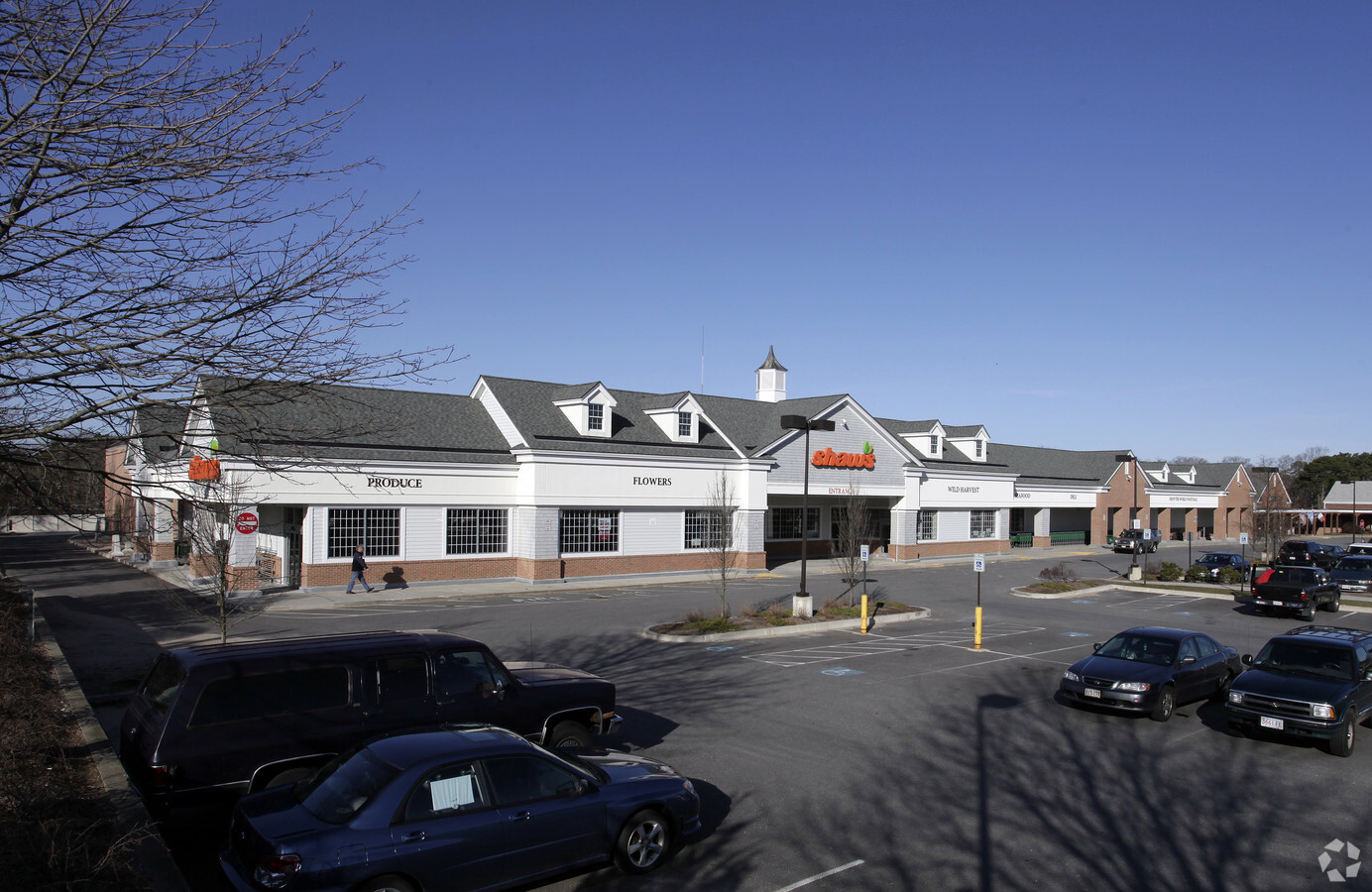
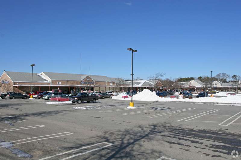
Property Record
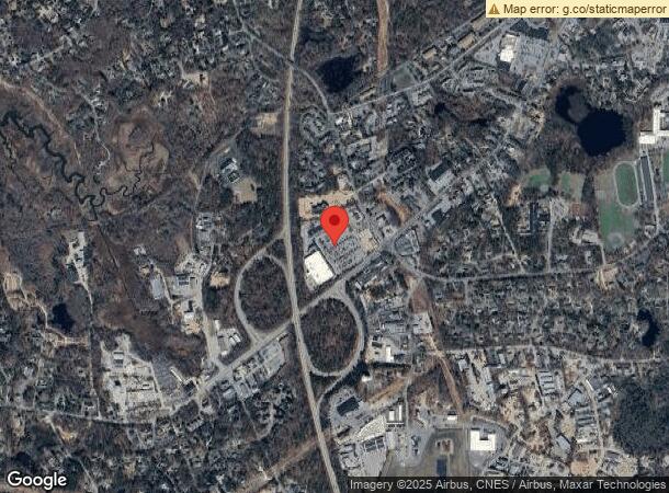
9 West Rd, Orleans, MA 02653
NEARBY LISTINGS FOR SALE OR LEASE
Property Detail
9 West Rd
Commercialnec
Barnstable
X
Massachusetts
25001C0419J
12.15 AC
2025
Cape Cod
2025
Other Market Areas
010400
Barnstable Town, MA
71,466 SF
ORLE-000400-000007
DEMOGRAPHICS near 9 West Rd
1 Mile
3 Mile
5 Mile
2024 Total Population
2,005
9,254
20,209
2029 Population
2,021
9,406
20,818
Pop Growth 2024-2029
+ 0.80%
+ 1.64%
+ 3.01%
Average Age
54
54
53
2024 Total Households
999
4,409
9,484
HH Growth 2024-2029
+ 0.30%
+ 1.32%
+ 2.79%
Median Household Inc
$68,458
$93,189
$91,844
Avg Household Size
1.90
2.00
2.10
2024 Avg HH Vehicles
2.00
2.00
2.00
Median Home Value
$507,500
$660,167
$647,782
Median Year Built
1978
1978
1979
Nearby Places
- Restaurants
- Banks
- Shops
- Fitness
- Groceries
SALE & LEASE HISTORY
LISTING DATE
SALE/LEASE

Sep 25, 2016
For Lease
Jul 14, 2017
For Lease
Nearby Properties
Address
Land Use
TOTAL SIZE
Lot Size
Zoning
Address
Land Use
TOTAL SIZE
Lot Size
Zoning
4,752 SF
54.92 AC
RESD.
Address
Land Use
TOTAL SIZE
Lot Size
Zoning
90,545 SF
30 AC
R
Address
Land Use
TOTAL SIZE
Lot Size
Zoning
2,661 SF
45.06 AC
RESD.
Address
Land Use
TOTAL SIZE
Lot Size
Zoning
2,872 SF
13.74 AC
R
Address
Land Use
TOTAL SIZE
Lot Size
Zoning
37,957 SF
8.40 AC
RESD.
Address
Land Use
TOTAL SIZE
Lot Size
Zoning
99,086 SF
10.69 AC
GB
Address
Land Use
TOTAL SIZE
Lot Size
Zoning
2,549 SF
109.52 AC
SEASHO
Address
Land Use
TOTAL SIZE
Lot Size
Zoning
5,482 SF
450 AC
R
Address
Land Use
TOTAL SIZE
Lot Size
Zoning
54,328 SF
23 AC
R
Address
Land Use
TOTAL SIZE
Lot Size
Zoning
65,651 SF
13.03 AC
RESD.
Address
Land Use
TOTAL SIZE
Lot Size
Zoning
30,248 SF
9.48 AC
VILLAG
Address
Land Use
TOTAL SIZE
Lot Size
Zoning
70,653 SF
12.61 AC
RESD.
Address
Land Use
TOTAL SIZE
Lot Size
Zoning
7,384 SF
8.10 AC
R
Address
Land Use
TOTAL SIZE
Lot Size
Zoning
5,412 SF
128.90 AC
RESD.
Address
Land Use
TOTAL SIZE
Lot Size
Zoning
14,406 SF
14.18 AC
GB
Address
Land Use
TOTAL SIZE
Lot Size
Zoning
960 SF
14.20 AC
RESD.
Address
Land Use
TOTAL SIZE
Lot Size
Zoning
9,540 SF
51.23 AC
Address
Land Use
TOTAL SIZE
Lot Size
Zoning
11,952 SF
26.20 AC
RESD.
Address
Land Use
TOTAL SIZE
Lot Size
Zoning
5,817 SF
5.75 AC
R
Address
Land Use
TOTAL SIZE
Lot Size
Zoning
5,342 SF
2.50 AC
R
Address
Land Use
TOTAL SIZE
Lot Size
Zoning
2,342 SF
18.70 AC
RESD.
Address
Land Use
TOTAL SIZE
Lot Size
Zoning
5,866 SF
3.68 AC
R
Address
Land Use
TOTAL SIZE
Lot Size
Zoning
4,208 SF
2.86 AC
RESD.
Address
Land Use
TOTAL SIZE
Lot Size
Zoning
15,602 SF
1.32 AC
R
Address
Land Use
TOTAL SIZE
Lot Size
Zoning
33,188 SF
9.97 AC
VILLAG
Address
Land Use
TOTAL SIZE
Lot Size
Zoning
7,711 SF
10.10 AC
R
Address
Land Use
TOTAL SIZE
Lot Size
Zoning
3,795 SF
4.34 AC
R
Address
Land Use
TOTAL SIZE
Lot Size
Zoning
3,614 SF
1.15 AC
R
Address
Land Use
TOTAL SIZE
Lot Size
Zoning
23,078 SF
3.02 AC
GB
The World's #1 Commercial Real Estate Marketplace
Connect with us
© 2025 CoStar Group
The information above has been obtained from sources believed reliable. While we do not doubt its accuracy we have not verified it and make no guarantee, warranty or representation about it. It is your responsibility to independently confirm its accuracy and completeness. Any projections, opinions, assumptions, or estimates used are for example only and do not represent the current or future performance of the property. The value of this transaction to you depends on tax and other factors which should be evaluated by your tax, financial, and legal advisors. You and your advisors should conduct a careful, independent investigation of the property to determine to your satisfaction the suitability of the property for your needs.