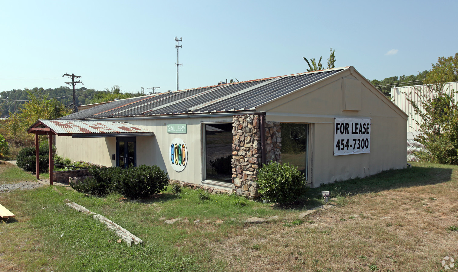
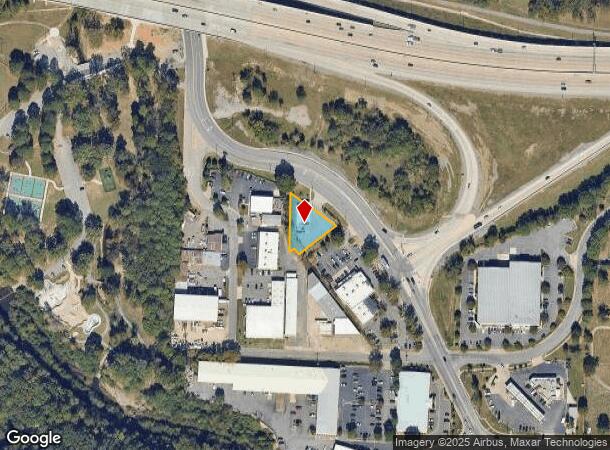
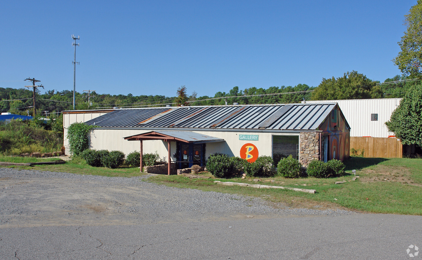
Property Record
900 S Rodney Parham Rd, Little Rock, AR 72204
NEARBY LISTINGS FOR SALE OR LEASE
Property Detail
900 S Rodney Parham Rd
Little Rock-North Little Rock-Conway, AR
Wilton Sub #2
44L-011-01-002-00
WIL-TON SUB NO 2 PT LT 1-A-BEG 79 6' S OF N COR ON ROD PARH RD & I630 INTCH S54 BEG E185 4' TO LN BETWN 1A & LT 1 SW ON COM LN 150' N38 BEG W25' S52 BEG W20' N202' TB
Storebuilding
Pulaski
AE
Arkansas
05119C0451H
1
2023
0.36 AC
2023
Midtown
0021031020
Little Rock/N Little Rock
2,410 SF
DEMOGRAPHICS near 900 S Rodney Parham Rd
1 Mile
3 Mile
5 Mile
2024 Total Population
8,195
78,728
150,089
2029 Population
8,148
79,050
150,677
Pop Growth 2024-2029
(0.57%)
+ 0.41%
+ 0.39%
Average Age
40
39
39
2024 Total Households
3,835
35,422
67,021
HH Growth 2024-2029
(0.63%)
+ 0.43%
+ 0.38%
Median Household Inc
$44,688
$49,345
$50,802
Avg Household Size
2.10
2.10
2.10
2024 Avg HH Vehicles
1.00
2.00
2.00
Median Home Value
$157,937
$174,580
$182,046
Median Year Built
1970
1970
1974
Nearby Places
- Restaurants
- Banks
- Shops
- Fitness
- Groceries
PUBLIC TRANSPORTATION
COMMUTER RAIL
Little Rock Union Station (Texas Eagle - Amtrak)
DRIVE
WALK
Distance
Little Rock Union Station (Texas Eagle - Amtrak)
9 min
4.8 mi
AIRPORT
Bill and Hillary Clinton Ntl/Adams Field
DRIVE
WALK
Distance
Bill and Hillary Clinton Ntl/Adams Field
15 min
9.5 mi
Freight Ports
Port of Shreveport
DRIVE
WALK
Distance
Port of Shreveport
247 min
230.6 mi
Nearby Properties
Address
Land Use
TOTAL SIZE
Lot Size
Zoning
Address
Land Use
TOTAL SIZE
Lot Size
Zoning
5,202,734 SF
70.44 AC
Address
Land Use
TOTAL SIZE
Lot Size
Zoning
1,665,090 SF
34.75 AC
Address
Land Use
TOTAL SIZE
Lot Size
Zoning
1,909,430 SF
29.12 AC
Address
Land Use
TOTAL SIZE
Lot Size
Zoning
802,734 SF
20.57 AC
Address
Land Use
TOTAL SIZE
Lot Size
Zoning
956,566 SF
70.39 AC
Address
Land Use
TOTAL SIZE
Lot Size
Zoning
117,237 SF
2.27 AC
Address
Land Use
TOTAL SIZE
Lot Size
Zoning
178,393 SF
5.07 AC
Address
Land Use
TOTAL SIZE
Lot Size
Zoning
576 SF
66.20 AC
Address
Land Use
TOTAL SIZE
Lot Size
Zoning
298,518 SF
4.43 AC
Address
Land Use
TOTAL SIZE
Lot Size
Zoning
225,500 SF
18.43 AC
Address
Land Use
TOTAL SIZE
Lot Size
Zoning
35,086 SF
6.48 AC
Address
Land Use
TOTAL SIZE
Lot Size
Zoning
140,675 SF
Address
Land Use
TOTAL SIZE
Lot Size
Zoning
130,800 SF
7.78 AC
Address
Land Use
TOTAL SIZE
Lot Size
Zoning
18,749 SF
15.76 AC
Address
Land Use
TOTAL SIZE
Lot Size
Zoning
161,779 SF
2.45 AC
Address
Land Use
TOTAL SIZE
Lot Size
Zoning
175,129 SF
26.54 AC
Address
Land Use
TOTAL SIZE
Lot Size
Zoning
134,502 SF
5.54 AC
Address
Land Use
TOTAL SIZE
Lot Size
Zoning
318,188 SF
8.86 AC
Address
Land Use
TOTAL SIZE
Lot Size
Zoning
404,617 SF
9.51 AC
Address
Land Use
TOTAL SIZE
Lot Size
Zoning
29,976 SF
27.38 AC
Address
Land Use
TOTAL SIZE
Lot Size
Zoning
185,873 SF
Address
Land Use
TOTAL SIZE
Lot Size
Zoning
78,004 SF
4.44 AC
Address
Land Use
TOTAL SIZE
Lot Size
Zoning
14,902 SF
5.04 AC
Address
Land Use
TOTAL SIZE
Lot Size
Zoning
80,649 SF
1.68 AC
Address
Land Use
TOTAL SIZE
Lot Size
Zoning
287,961 SF
168.06 AC
Address
Land Use
TOTAL SIZE
Lot Size
Zoning
33,992 SF
13.15 AC
Address
Land Use
TOTAL SIZE
Lot Size
Zoning
161,200 SF
2.06 AC
Address
Land Use
TOTAL SIZE
Lot Size
Zoning
130,108 SF
10.51 AC
Address
Land Use
TOTAL SIZE
Lot Size
Zoning
212,906 SF
7.21 AC
Address
Land Use
TOTAL SIZE
Lot Size
Zoning
118,880 SF
6.95 AC
The World's #1 Commercial Real Estate Marketplace
Connect with us
© 2025 CoStar Group
The information above has been obtained from sources believed reliable. While we do not doubt its accuracy we have not verified it and make no guarantee, warranty or representation about it. It is your responsibility to independently confirm its accuracy and completeness. Any projections, opinions, assumptions, or estimates used are for example only and do not represent the current or future performance of the property. The value of this transaction to you depends on tax and other factors which should be evaluated by your tax, financial, and legal advisors. You and your advisors should conduct a careful, independent investigation of the property to determine to your satisfaction the suitability of the property for your needs.