Property Record
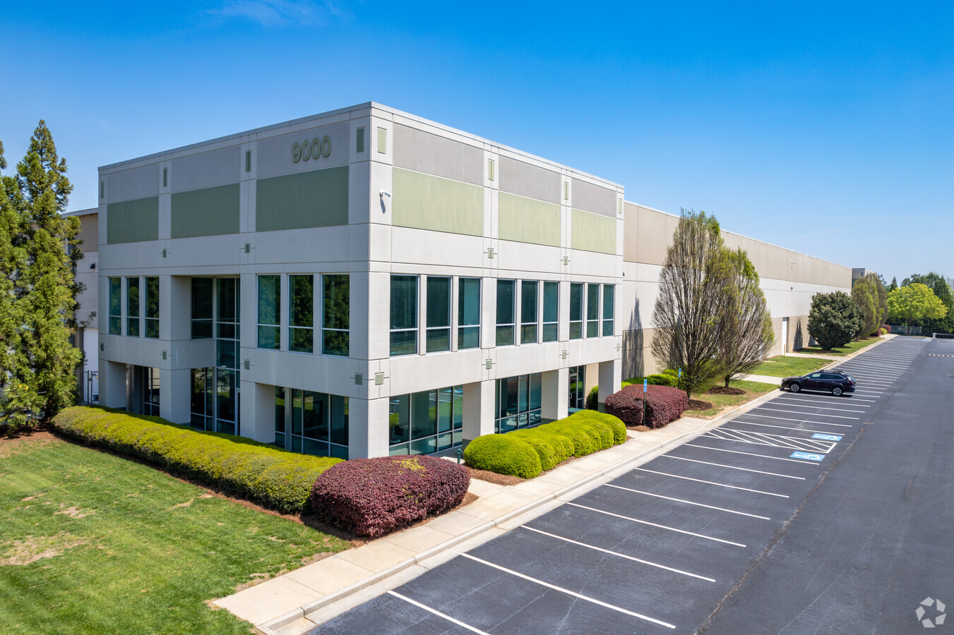
9000 Riverside Pkwy, Lithia Springs, GA 30122


NEARBY LISTINGS FOR SALE OR LEASE
Property Detail
9000 Riverside Pkwy
Atlanta-Sandy Springs-Roswell, GA
Carter New Manchester Llc
0015-01-8-0-002
BLDG/35.758 AC, TRACT A PARCEL #1 RIVERSIDE
Warehouse
Douglas
X
Georgia
13121C0326F
a-1
2024
35.76 AC
2024
I-20 W/Douglasville
080105
Atlanta
540,000 SF
DEMOGRAPHICS near 9000 Riverside Pkwy
1 Mile
3 Mile
5 Mile
2024 Total Population
2,112
18,042
93,069
2029 Population
2,309
18,627
96,096
Pop Growth 2024-2029
+ 9.33%
+ 3.24%
+ 3.25%
Average Age
35
36
37
2024 Total Households
801
7,193
35,281
HH Growth 2024-2029
+ 9.36%
+ 3.21%
+ 3.31%
Median Household Inc
$82,261
$69,089
$63,574
Avg Household Size
2.60
2.50
2.60
2024 Avg HH Vehicles
2.00
2.00
2.00
Median Home Value
$348,670
$316,781
$231,333
Median Year Built
2008
1999
1993
Nearby Places
- Restaurants
- Banks
- Shops
- Fitness
- Groceries
PUBLIC TRANSPORTATION
AIRPORT
Hartsfield - Jackson Atlanta International
DRIVE
WALK
Distance
Hartsfield - Jackson Atlanta International
30 min
19.4 mi
Freight Ports
Georgia Ports - Savannah
DRIVE
WALK
Distance
Georgia Ports - Savannah
292 min
256.7 mi
SALE & LEASE HISTORY
LISTING DATE
SALE/LEASE

May 12, 2022
For Lease
Mar 23, 2023
For Lease
Jan 23, 2019
For Lease
Nearby Properties
Address
Land Use
TOTAL SIZE
Lot Size
Zoning
Address
Land Use
TOTAL SIZE
Lot Size
Zoning
454,000 SF
68.17 AC
LI-R
Address
Land Use
TOTAL SIZE
Lot Size
Zoning
1,045,610 SF
110.63 AC
SUBA
Address
Land Use
TOTAL SIZE
Lot Size
Zoning
307,440 SF
19.88 AC
Address
Land Use
TOTAL SIZE
Lot Size
Zoning
295,590 SF
10.25 AC
MIX
Address
Land Use
TOTAL SIZE
Lot Size
Zoning
415,483 SF
23 AC
MIXU
Address
Land Use
TOTAL SIZE
Lot Size
Zoning
417,860 SF
40.32 AC
LI
Address
Land Use
TOTAL SIZE
Lot Size
Zoning
652,500 SF
52.87 AC
LI-R
Address
Land Use
TOTAL SIZE
Lot Size
Zoning
75,628 SF
290.39 AC
DCD
Address
Land Use
TOTAL SIZE
Lot Size
Zoning
913,620 SF
58.88 AC
Address
Land Use
TOTAL SIZE
Lot Size
Zoning
709,289 SF
112.06 AC
DCD
Address
Land Use
TOTAL SIZE
Lot Size
Zoning
359,608 SF
29.73 AC
DCD
Address
Land Use
TOTAL SIZE
Lot Size
Zoning
789,717 SF
68.55 AC
LI
Address
Land Use
TOTAL SIZE
Lot Size
Zoning
728,121 SF
48.95 AC
LI
Address
Land Use
TOTAL SIZE
Lot Size
Zoning
603,096 SF
38.38 AC
HI
Address
Land Use
TOTAL SIZE
Lot Size
Zoning
205,390 SF
24.28 AC
Address
Land Use
TOTAL SIZE
Lot Size
Zoning
567,480 SF
44.13 AC
LI
Address
Land Use
TOTAL SIZE
Lot Size
Zoning
340,131 SF
24.60 AC
DCD
Address
Land Use
TOTAL SIZE
Lot Size
Zoning
249,296 SF
17.10 AC
ACOND
Address
Land Use
TOTAL SIZE
Lot Size
Zoning
494,858 SF
43.29 AC
IL
Address
Land Use
TOTAL SIZE
Lot Size
Zoning
732,688 SF
47.23 AC
LI-R
Address
Land Use
TOTAL SIZE
Lot Size
Zoning
281,844 SF
38.66 AC
R-MF
Address
Land Use
TOTAL SIZE
Lot Size
Zoning
603,952 SF
37.71 AC
IL
Address
Land Use
TOTAL SIZE
Lot Size
Zoning
498,167 SF
11.18 AC
HI/WS
Address
Land Use
TOTAL SIZE
Lot Size
Zoning
538,748 SF
35.64 AC
LI
Address
Land Use
TOTAL SIZE
Lot Size
Zoning
453,106 SF
36.69 AC
DCD
Address
Land Use
TOTAL SIZE
Lot Size
Zoning
245,812 SF
30.90 AC
DCD
Address
Land Use
TOTAL SIZE
Lot Size
Zoning
523,551 SF
50.92 AC
LI
Address
Land Use
TOTAL SIZE
Lot Size
Zoning
241,200 SF
18.40 AC
RM-12
Address
Land Use
TOTAL SIZE
Lot Size
Zoning
307,169 SF
30.13 AC
LI
The World's #1 Commercial Real Estate Marketplace
Connect with us
© 2025 CoStar Group
The information above has been obtained from sources believed reliable. While we do not doubt its accuracy we have not verified it and make no guarantee, warranty or representation about it. It is your responsibility to independently confirm its accuracy and completeness. Any projections, opinions, assumptions, or estimates used are for example only and do not represent the current or future performance of the property. The value of this transaction to you depends on tax and other factors which should be evaluated by your tax, financial, and legal advisors. You and your advisors should conduct a careful, independent investigation of the property to determine to your satisfaction the suitability of the property for your needs.