Property Record
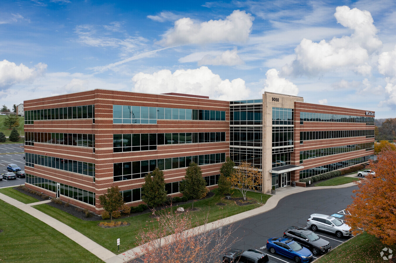
9050 Centre Pointe Dr, West Chester, OH 45069

NEARBY LISTINGS FOR SALE OR LEASE
Property Detail
9050 Centre Pointe Dr
Cincinnati, OH-KY-IN
2 3 27 NW 1/4 LESS R/W SEE PCL#064 TAXABLE / UCB TIF
M5610-027-000-064T
Butler
Miscellaneous
Ohio
0
7.72 AC
2024
Butler County
011123
Cincinnati/Dayton
64,652 SF
DEMOGRAPHICS near 9050 Centre Pointe Dr
1 Mile
3 Mile
5 Mile
2024 Total Population
3,970
47,826
134,947
2029 Population
4,005
48,316
137,382
Pop Growth 2024-2029
+ 0.88%
+ 1.02%
+ 1.80%
Average Age
40
39
40
2024 Total Households
1,510
17,979
51,480
HH Growth 2024-2029
+ 0.79%
+ 0.96%
+ 1.81%
Median Household Inc
$112,857
$96,157
$95,001
Avg Household Size
2.60
2.60
2.50
2024 Avg HH Vehicles
2.00
2.00
2.00
Median Home Value
$329,880
$266,790
$260,039
Median Year Built
1993
1986
1987
Nearby Places
- Restaurants
- Banks
- Shops
- Fitness
- Groceries
PUBLIC TRANSPORTATION
AIRPORT
Cincinnati/Northern Kentucky International
DRIVE
WALK
Distance
Cincinnati/Northern Kentucky International
51 min
32.5 mi
Freight Ports
Port of Toledo
DRIVE
WALK
Distance
Port of Toledo
219 min
188.1 mi
SALE & LEASE HISTORY
LISTING DATE
SALE/LEASE

Sep 29, 2021
For Lease
Sep 25, 2016
For Lease
Sep 24, 2016
For Lease
Mar 31, 2017
For Lease
Mar 31, 2017
For Lease
Feb 23, 2017
For Lease
Feb 23, 2017
For Lease
Feb 15, 2024
For Lease
Nearby Properties
Address
Land Use
TOTAL SIZE
Lot Size
Zoning
Address
Land Use
TOTAL SIZE
Lot Size
Zoning
987,717 SF
57.32 AC
Address
Land Use
TOTAL SIZE
Lot Size
Zoning
606,066 SF
34.30 AC
Address
Land Use
TOTAL SIZE
Lot Size
Zoning
1,398,190 SF
54.91 AC
Address
Land Use
TOTAL SIZE
Lot Size
Zoning
54,055 SF
18.17 AC
Address
Land Use
TOTAL SIZE
Lot Size
Zoning
118,861 SF
22.56 AC
Address
Land Use
TOTAL SIZE
Lot Size
Zoning
706,768 SF
35.92 AC
Address
Land Use
TOTAL SIZE
Lot Size
Zoning
342,284 SF
37.92 AC
Address
Land Use
TOTAL SIZE
Lot Size
Zoning
914,426 SF
41.39 AC
Address
Land Use
TOTAL SIZE
Lot Size
Zoning
782,765 SF
33.15 AC
Address
Land Use
TOTAL SIZE
Lot Size
Zoning
287,883 SF
10.90 AC
Address
Land Use
TOTAL SIZE
Lot Size
Zoning
4,620 SF
85.80 AC
Address
Land Use
TOTAL SIZE
Lot Size
Zoning
84,133 SF
4.28 AC
Address
Land Use
TOTAL SIZE
Lot Size
Zoning
176,055 SF
31.46 AC
Address
Land Use
TOTAL SIZE
Lot Size
Zoning
498,300 SF
14.86 AC
Address
Land Use
TOTAL SIZE
Lot Size
Zoning
334,887 SF
16.16 AC
Address
Land Use
TOTAL SIZE
Lot Size
Zoning
26.63 AC
Address
Land Use
TOTAL SIZE
Lot Size
Zoning
10.76 AC
Address
Land Use
TOTAL SIZE
Lot Size
Zoning
11.19 AC
Address
Land Use
TOTAL SIZE
Lot Size
Zoning
Address
Land Use
TOTAL SIZE
Lot Size
Zoning
536,648 SF
22.28 AC
Address
Land Use
TOTAL SIZE
Lot Size
Zoning
31,930 SF
21.19 AC
Address
Land Use
TOTAL SIZE
Lot Size
Zoning
32,372 SF
32.90 AC
Address
Land Use
TOTAL SIZE
Lot Size
Zoning
482,499 SF
27.83 AC
Address
Land Use
TOTAL SIZE
Lot Size
Zoning
434,916 SF
19.98 AC
Address
Land Use
TOTAL SIZE
Lot Size
Zoning
417,137 SF
47.57 AC
Address
Land Use
TOTAL SIZE
Lot Size
Zoning
321,806 SF
15.72 AC
Address
Land Use
TOTAL SIZE
Lot Size
Zoning
433,277 SF
25.66 AC
Address
Land Use
TOTAL SIZE
Lot Size
Zoning
115,697 SF
6.89 AC
Address
Land Use
TOTAL SIZE
Lot Size
Zoning
Address
Land Use
TOTAL SIZE
Lot Size
Zoning
54.92 AC
The World's #1 Commercial Real Estate Marketplace
Connect with us
© 2025 CoStar Group
The information above has been obtained from sources believed reliable. While we do not doubt its accuracy we have not verified it and make no guarantee, warranty or representation about it. It is your responsibility to independently confirm its accuracy and completeness. Any projections, opinions, assumptions, or estimates used are for example only and do not represent the current or future performance of the property. The value of this transaction to you depends on tax and other factors which should be evaluated by your tax, financial, and legal advisors. You and your advisors should conduct a careful, independent investigation of the property to determine to your satisfaction the suitability of the property for your needs.