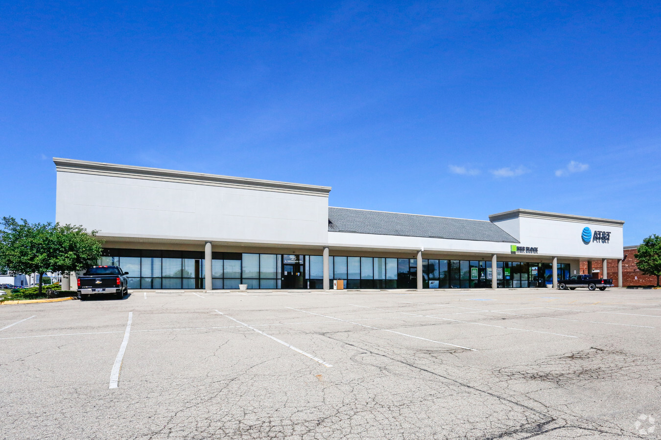
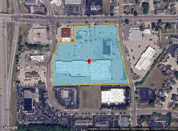
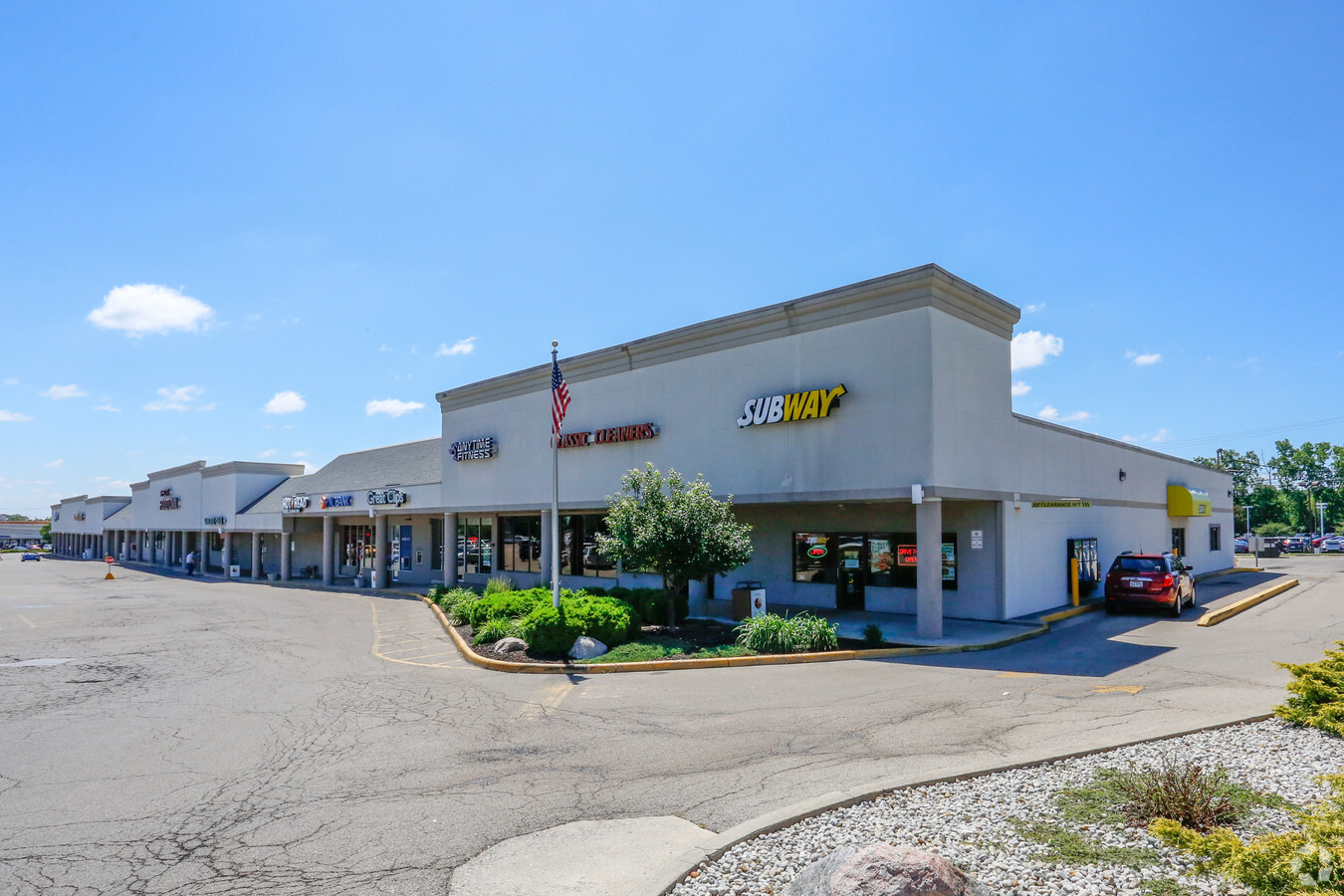
Property Record
920 W Main St, Tipp City, OH 45371
NEARBY LISTINGS FOR SALE OR LEASE
Property Detail
920 W Main St
G15019537
IL 2023 400.58'
Stripcommercialcenter
Miami
X
Ohio
39109C0260E
2023
2023
9.07 AC
2023
North Dayton
355001
Cincinnati/Dayton
86,868 SF
Dayton, OH
DEMOGRAPHICS near 920 W Main St
1 Mile
3 Mile
5 Mile
2024 Total Population
7,403
16,341
29,125
2029 Population
7,731
16,997
29,947
Pop Growth 2024-2029
+ 4.43%
+ 4.01%
+ 2.82%
Average Age
42
43
43
2024 Total Households
3,188
6,654
11,825
HH Growth 2024-2029
+ 4.36%
+ 3.95%
+ 2.67%
Median Household Inc
$61,694
$72,551
$74,019
Avg Household Size
2.30
2.40
2.40
2024 Avg HH Vehicles
2.00
2.00
2.00
Median Home Value
$186,804
$228,872
$223,657
Median Year Built
1973
1976
1973
Nearby Places
- Restaurants
- Banks
- Shops
- Fitness
- Groceries
PUBLIC TRANSPORTATION
AIRPORT
James M Cox Dayton International
DRIVE
WALK
Distance
James M Cox Dayton International
14 min
8.7 mi
Freight Ports
Port of Toledo
DRIVE
WALK
Distance
Port of Toledo
160 min
138.9 mi
SALE & LEASE HISTORY
LISTING DATE
SALE/LEASE

Sep 25, 2016
For Lease
Jun 28, 2018
For Lease
Nearby Properties
Address
Land Use
TOTAL SIZE
Lot Size
Zoning
Address
Land Use
TOTAL SIZE
Lot Size
Zoning
2,810,636 SF
79.21 AC
Address
Land Use
TOTAL SIZE
Lot Size
Zoning
Address
Land Use
TOTAL SIZE
Lot Size
Zoning
Address
Land Use
TOTAL SIZE
Lot Size
Zoning
Address
Land Use
TOTAL SIZE
Lot Size
Zoning
178.04 AC
Address
Land Use
TOTAL SIZE
Lot Size
Zoning
Address
Land Use
TOTAL SIZE
Lot Size
Zoning
704,988 SF
49.15 AC
Address
Land Use
TOTAL SIZE
Lot Size
Zoning
209,484 SF
45.46 AC
Address
Land Use
TOTAL SIZE
Lot Size
Zoning
371,869 SF
160.30 AC
Address
Land Use
TOTAL SIZE
Lot Size
Zoning
Address
Land Use
TOTAL SIZE
Lot Size
Zoning
38,738 SF
11.39 AC
Address
Land Use
TOTAL SIZE
Lot Size
Zoning
5,809 SF
12.84 AC
Address
Land Use
TOTAL SIZE
Lot Size
Zoning
27,623 SF
6.54 AC
Address
Land Use
TOTAL SIZE
Lot Size
Zoning
6,263 SF
26.04 AC
Address
Land Use
TOTAL SIZE
Lot Size
Zoning
198,355 SF
19.64 AC
Address
Land Use
TOTAL SIZE
Lot Size
Zoning
21,473 SF
8.37 AC
Address
Land Use
TOTAL SIZE
Lot Size
Zoning
3,420 SF
12.59 AC
Address
Land Use
TOTAL SIZE
Lot Size
Zoning
96,200 SF
14.09 AC
Address
Land Use
TOTAL SIZE
Lot Size
Zoning
49,496 SF
10.15 AC
Address
Land Use
TOTAL SIZE
Lot Size
Zoning
8,081 SF
8.42 AC
Address
Land Use
TOTAL SIZE
Lot Size
Zoning
54,635 SF
17.25 AC
Address
Land Use
TOTAL SIZE
Lot Size
Zoning
Address
Land Use
TOTAL SIZE
Lot Size
Zoning
122,400 SF
20.34 AC
Address
Land Use
TOTAL SIZE
Lot Size
Zoning
42,377 SF
10.31 AC
Address
Land Use
TOTAL SIZE
Lot Size
Zoning
87,635 SF
6.02 AC
Address
Land Use
TOTAL SIZE
Lot Size
Zoning
30,996 SF
4.13 AC
Address
Land Use
TOTAL SIZE
Lot Size
Zoning
30.64 AC
Address
Land Use
TOTAL SIZE
Lot Size
Zoning
21,082 SF
3.33 AC
Address
Land Use
TOTAL SIZE
Lot Size
Zoning
120,000 SF
12.02 AC
Address
Land Use
TOTAL SIZE
Lot Size
Zoning
38,928 SF
11.33 AC
The World's #1 Commercial Real Estate Marketplace
Connect with us
© 2025 CoStar Group
The information above has been obtained from sources believed reliable. While we do not doubt its accuracy we have not verified it and make no guarantee, warranty or representation about it. It is your responsibility to independently confirm its accuracy and completeness. Any projections, opinions, assumptions, or estimates used are for example only and do not represent the current or future performance of the property. The value of this transaction to you depends on tax and other factors which should be evaluated by your tax, financial, and legal advisors. You and your advisors should conduct a careful, independent investigation of the property to determine to your satisfaction the suitability of the property for your needs.