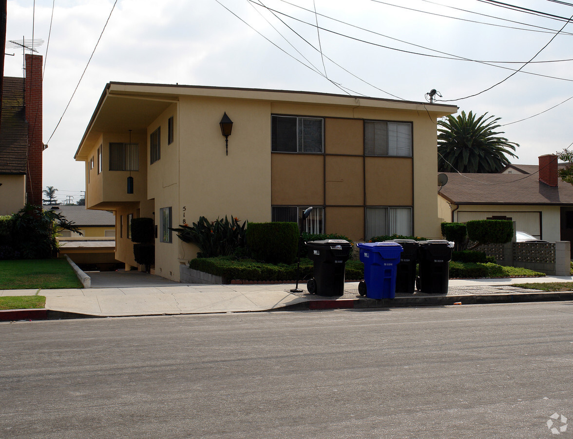
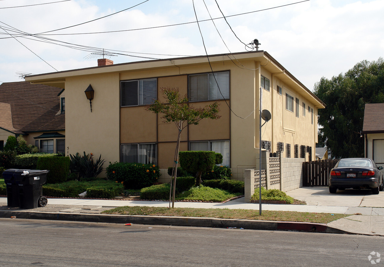
Property Record
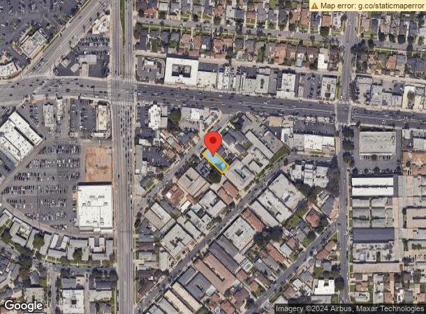
518 Short St, Inglewood, CA 90302
NEARBY LISTINGS FOR SALE OR LEASE
-
-
-
-
-
-
-
-
-
-
-
-
-
-
No Photo
-
-
-
-
-
-
-
-
-
-
-
-
-
-
-
-
-
View all Inglewood listings for sale on LoopNet.com
Property Detail
518 Short St
Los Angeles-Long Beach-Glendale, CA
652
4017-002-036
TRACT NO 652 SW 45 FT OF NW 125 FT OF LOT/SEC 206
Quadruplex
Los Angeles
X
California
06037C1776G
206
2024
0.13 AC
2024
Inglewood
601302
Los Angeles
4,095 SF
DEMOGRAPHICS near 518 Short St
1 Mile
3 Mile
5 Mile
2024 Total Population
41,217
240,391
806,409
2029 Population
40,267
233,752
782,750
Pop Growth 2024-2029
(2.30%)
(2.76%)
(2.93%)
Average Age
40
40
39
2024 Total Households
17,684
91,090
298,069
HH Growth 2024-2029
(2.51%)
(2.89%)
(3.05%)
Median Household Inc
$81,515
$76,781
$76,382
Avg Household Size
2.30
2.60
2.60
2024 Avg HH Vehicles
2.00
2.00
2.00
Median Home Value
$894,347
$896,472
$876,877
Median Year Built
1967
1959
1959
Nearby Places
- Restaurants
- Banks
- Shops
- Fitness
- Groceries
PUBLIC TRANSPORTATION
AIRPORT
Los Angeles International
DRIVE
WALK
Distance
Los Angeles International
8 min
3.8 mi
Long Beach (Daugherty Field)
DRIVE
WALK
Distance
Long Beach (Daugherty Field)
26 min
20.2 mi
Bob Hope
DRIVE
WALK
Distance
Bob Hope
35 min
24.9 mi
Freight Ports
Port of Los Angeles
DRIVE
WALK
Distance
Port of Los Angeles
34 min
23.4 mi
Nearby Properties
Address
Land Use
TOTAL SIZE
Lot Size
Zoning
Address
Land Use
TOTAL SIZE
Lot Size
Zoning
2,531,696 SF
79.60 AC
INCR*
Address
Land Use
TOTAL SIZE
Lot Size
Zoning
514,260 SF
13.76 AC
LAMPV
Address
Land Use
TOTAL SIZE
Lot Size
Zoning
1,007,400 SF
6.45 AC
LAM(PV)
Address
Land Use
TOTAL SIZE
Lot Size
Zoning
512,019 SF
10.70 AC
LAC2(PV)
Address
Land Use
TOTAL SIZE
Lot Size
Zoning
Address
Land Use
TOTAL SIZE
Lot Size
Zoning
Address
Land Use
TOTAL SIZE
Lot Size
Zoning
Address
Land Use
TOTAL SIZE
Lot Size
Zoning
658,463 SF
6.81 AC
LAC2(PV)
Address
Land Use
TOTAL SIZE
Lot Size
Zoning
402,060 SF
3.58 AC
LAC2
Address
Land Use
TOTAL SIZE
Lot Size
Zoning
670,596 SF
11.60 AC
LAR4
Address
Land Use
TOTAL SIZE
Lot Size
Zoning
482,248 SF
5.09 AC
LAR4(PV)
Address
Land Use
TOTAL SIZE
Lot Size
Zoning
321,055 SF
5.98 AC
LAM(PV)
Address
Land Use
TOTAL SIZE
Lot Size
Zoning
9.38 AC
LAR4(PV)
Address
Land Use
TOTAL SIZE
Lot Size
Zoning
530,988 SF
8 AC
LAM2
Address
Land Use
TOTAL SIZE
Lot Size
Zoning
724,715 SF
5.76 AC
INCR*
Address
Land Use
TOTAL SIZE
Lot Size
Zoning
9.38 AC
LAR4(PV)
Address
Land Use
TOTAL SIZE
Lot Size
Zoning
297,937 SF
1.59 AC
CCC3*
Address
Land Use
TOTAL SIZE
Lot Size
Zoning
283,733 SF
2.82 AC
CCC3
Address
Land Use
TOTAL SIZE
Lot Size
Zoning
329,810 SF
2.21 AC
LAC2
Address
Land Use
TOTAL SIZE
Lot Size
Zoning
622,357 SF
3.42 AC
LAC2
Address
Land Use
TOTAL SIZE
Lot Size
Zoning
652,774 SF
3.60 AC
LAC2
Address
Land Use
TOTAL SIZE
Lot Size
Zoning
384,621 SF
2.50 AC
LAR4(PV)
Address
Land Use
TOTAL SIZE
Lot Size
Zoning
632,476 SF
10.56 AC
LAC2
Address
Land Use
TOTAL SIZE
Lot Size
Zoning
329,322 SF
1.28 AC
LAC2
Address
Land Use
TOTAL SIZE
Lot Size
Zoning
784,680 SF
18.28 AC
LAM1
Address
Land Use
TOTAL SIZE
Lot Size
Zoning
530,660 SF
20.58 AC
CCC3*
Address
Land Use
TOTAL SIZE
Lot Size
Zoning
514,125 SF
3.11 AC
LAC2
Address
Land Use
TOTAL SIZE
Lot Size
Zoning
214,702 SF
1.51 AC
LAM(PV)
Address
Land Use
TOTAL SIZE
Lot Size
Zoning
249,132 SF
2.31 AC
CCC3*
Address
Land Use
TOTAL SIZE
Lot Size
Zoning
304,968 SF
3.07 AC
CCC3*
The World's #1 Commercial Real Estate Marketplace
Connect with us
© 2025 CoStar Group
The information above has been obtained from sources believed reliable. While we do not doubt its accuracy we have not verified it and make no guarantee, warranty or representation about it. It is your responsibility to independently confirm its accuracy and completeness. Any projections, opinions, assumptions, or estimates used are for example only and do not represent the current or future performance of the property. The value of this transaction to you depends on tax and other factors which should be evaluated by your tax, financial, and legal advisors. You and your advisors should conduct a careful, independent investigation of the property to determine to your satisfaction the suitability of the property for your needs.