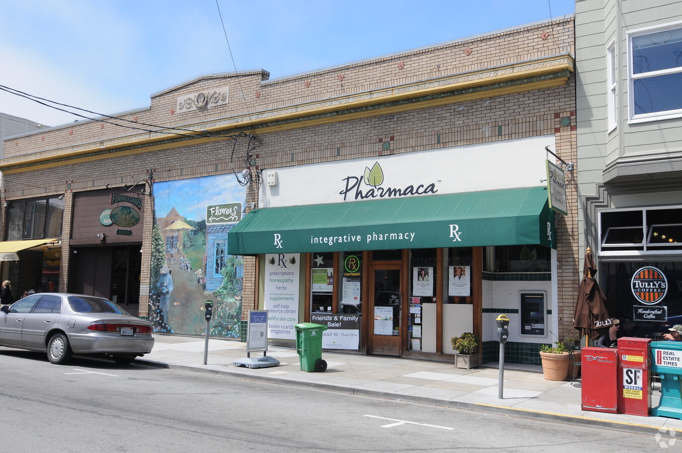
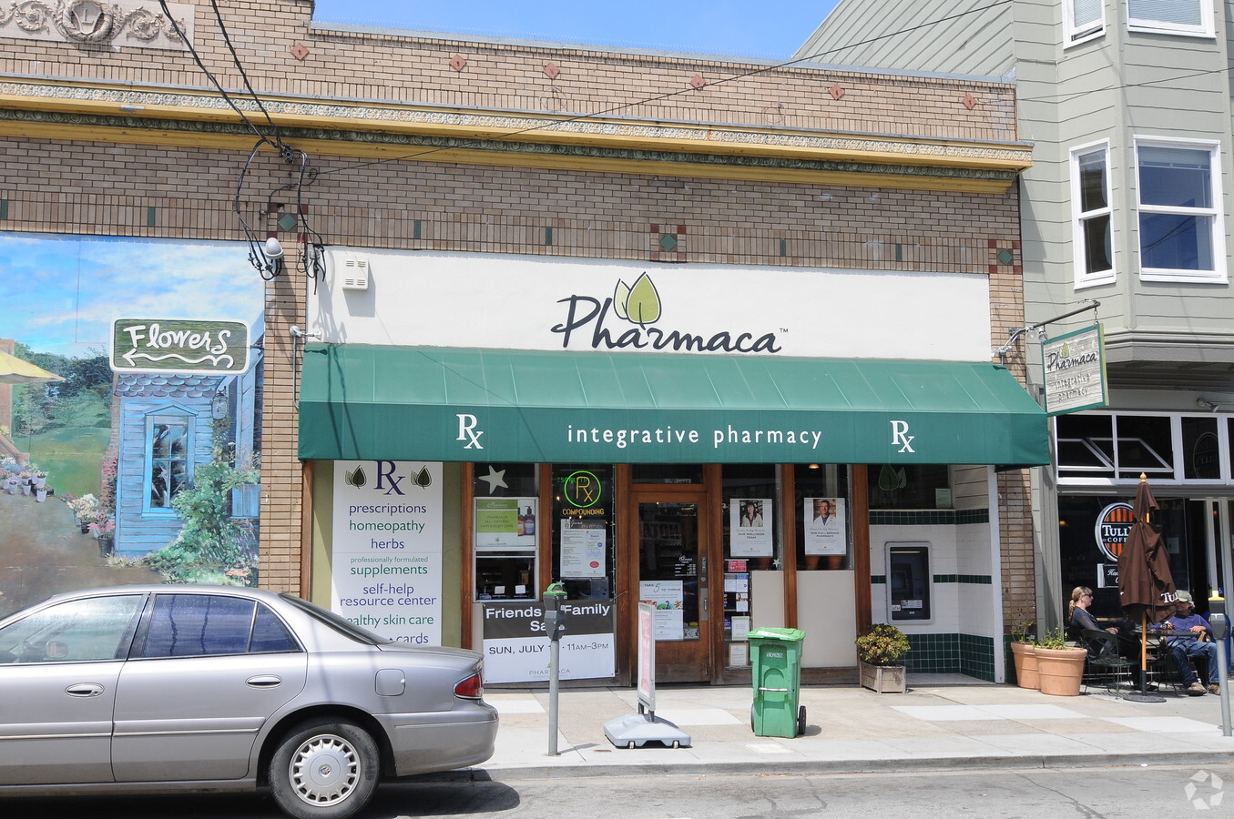
Property Record
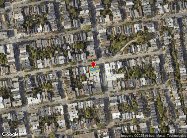
103 Carl St, San Francisco, CA 94117
Current Lease Availabilities
NEARBY LISTINGS FOR SALE OR LEASE
Property Detail
103 Carl St
San Francisco-Redwood City-South San Francisco, CA
Western Add Bl 871
1272-001
San Francisco
Retailwithmorethanonenonretailuse
California
2023
1
2023
0.12 AC
017102
West of Van Ness
12,450 SF
San Francisco
DEMOGRAPHICS near 103 Carl St
1 Mile
3 Mile
5 Mile
2024 Total Population
62,130
553,982
824,599
2029 Population
57,708
513,972
762,682
Pop Growth 2024-2029
(7.12%)
(7.22%)
(7.51%)
Average Age
41
43
42
2024 Total Households
27,817
248,484
346,188
HH Growth 2024-2029
(7.70%)
(7.70%)
(7.84%)
Median Household Inc
$168,305
$132,348
$125,048
Avg Household Size
2.10
2.10
2.20
2024 Avg HH Vehicles
1.00
1.00
1.00
Median Home Value
$1,113,372
$1,110,966
$1,095,833
Median Year Built
1947
1948
1949
Nearby Places
- Restaurants
- Banks
- Shops
- Fitness
- Groceries
PUBLIC TRANSPORTATION
TRANSIT/SUBWAY
Carl And Cole (N Judah - San Francisco Municipal Railway (MUNI Metro))
DRIVE
WALK
Distance
Carl And Cole (N Judah - San Francisco Municipal Railway (MUNI Metro))
0 min
1 min
0.1 mi
Carl And Stanyan (N Judah - San Francisco Municipal Railway (MUNI Metro))
DRIVE
WALK
Distance
Carl And Stanyan (N Judah - San Francisco Municipal Railway (MUNI Metro))
0 min
2 min
0.1 mi
Carl Street And Hillway Avenue (N Judah - San Francisco Municipal Railway (MUNI Metro))
DRIVE
WALK
Distance
Carl Street And Hillway Avenue (N Judah - San Francisco Municipal Railway (MUNI Metro))
1 min
7 min
0.4 mi
Ucsf (N Judah - San Francisco Municipal Railway (MUNI Metro))
DRIVE
WALK
Distance
Ucsf (N Judah - San Francisco Municipal Railway (MUNI Metro))
1 min
9 min
0.5 mi
Irving And 4Th Avenue (N Judah - San Francisco Municipal Railway (MUNI Metro))
DRIVE
WALK
Distance
Irving And 4Th Avenue (N Judah - San Francisco Municipal Railway (MUNI Metro))
2 min
12 min
0.6 mi
COMMUTER RAIL
San Francisco 4Th & King (Caltrain - Caltrain (Caltrain))
DRIVE
WALK
Distance
San Francisco 4Th & King (Caltrain - Caltrain (Caltrain))
9 min
3.7 mi
22Nd Street (Caltrain - Caltrain (Caltrain))
DRIVE
WALK
Distance
22Nd Street (Caltrain - Caltrain (Caltrain))
9 min
4.1 mi
AIRPORT
San Francisco International
DRIVE
WALK
Distance
San Francisco International
26 min
15.1 mi
Metro Oakland International
DRIVE
WALK
Distance
Metro Oakland International
36 min
22.6 mi
Freight Ports
Port of San Francisco
DRIVE
WALK
Distance
Port of San Francisco
12 min
4.5 mi
Nearby Properties
Address
Land Use
TOTAL SIZE
Lot Size
Zoning
Address
Land Use
TOTAL SIZE
Lot Size
Zoning
508,714 SF
1.29 AC
C3R
Address
Land Use
TOTAL SIZE
Lot Size
Zoning
248,303 SF
4.35 AC
Address
Land Use
TOTAL SIZE
Lot Size
Zoning
717,234 SF
3.47 AC
UMU
Address
Land Use
TOTAL SIZE
Lot Size
Zoning
696,431 SF
0.97 AC
C3G
Address
Land Use
TOTAL SIZE
Lot Size
Zoning
266,143 SF
4 AC
C-3-R
Address
Land Use
TOTAL SIZE
Lot Size
Zoning
1,424,230 SF
2.60 AC
C3G
Address
Land Use
TOTAL SIZE
Lot Size
Zoning
1.52 AC
C3G
Address
Land Use
TOTAL SIZE
Lot Size
Zoning
327,339 SF
0.72 AC
C3R
Address
Land Use
TOTAL SIZE
Lot Size
Zoning
263,640 SF
0.72 AC
C3R
Address
Land Use
TOTAL SIZE
Lot Size
Zoning
610,645 SF
0.82 AC
C3R
Address
Land Use
TOTAL SIZE
Lot Size
Zoning
2.74 AC
Address
Land Use
TOTAL SIZE
Lot Size
Zoning
313,306 SF
1.23 AC
WMUG
Address
Land Use
TOTAL SIZE
Lot Size
Zoning
922,758 SF
1.94 AC
C3R
Address
Land Use
TOTAL SIZE
Lot Size
Zoning
393,918 SF
3.36 AC
WMUG
Address
Land Use
TOTAL SIZE
Lot Size
Zoning
393,918 SF
3.36 AC
WMUG
Address
Land Use
TOTAL SIZE
Lot Size
Zoning
291,522 SF
6.66 AC
CM
Address
Land Use
TOTAL SIZE
Lot Size
Zoning
490,000 SF
0.91 AC
C3R
Address
Land Use
TOTAL SIZE
Lot Size
Zoning
24.37 AC
Address
Land Use
TOTAL SIZE
Lot Size
Zoning
674,317 SF
3.36 AC
UMU
Address
Land Use
TOTAL SIZE
Lot Size
Zoning
649,376 SF
0.93 AC
C3S
Address
Land Use
TOTAL SIZE
Lot Size
Zoning
342,727 SF
1.36 AC
C3G
Address
Land Use
TOTAL SIZE
Lot Size
Zoning
2.93 AC
Address
Land Use
TOTAL SIZE
Lot Size
Zoning
718 SF
18.55 AC
RH2
Address
Land Use
TOTAL SIZE
Lot Size
Zoning
411,904 SF
21.74 AC
C2
Address
Land Use
TOTAL SIZE
Lot Size
Zoning
243,612 SF
1.94 AC
Address
Land Use
TOTAL SIZE
Lot Size
Zoning
420,654 SF
1.82 AC
C3G
Address
Land Use
TOTAL SIZE
Lot Size
Zoning
1.74 AC
WMUG
Address
Land Use
TOTAL SIZE
Lot Size
Zoning
475,679 SF
0.54 AC
C3G
Address
Land Use
TOTAL SIZE
Lot Size
Zoning
496,104 SF
0.83 AC
Address
Land Use
TOTAL SIZE
Lot Size
Zoning
804,136 SF
2.60 AC
RM4
The World's #1 Commercial Real Estate Marketplace
Connect with us
© 2025 CoStar Group
The information above has been obtained from sources believed reliable. While we do not doubt its accuracy we have not verified it and make no guarantee, warranty or representation about it. It is your responsibility to independently confirm its accuracy and completeness. Any projections, opinions, assumptions, or estimates used are for example only and do not represent the current or future performance of the property. The value of this transaction to you depends on tax and other factors which should be evaluated by your tax, financial, and legal advisors. You and your advisors should conduct a careful, independent investigation of the property to determine to your satisfaction the suitability of the property for your needs.