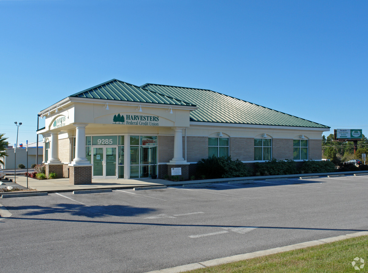
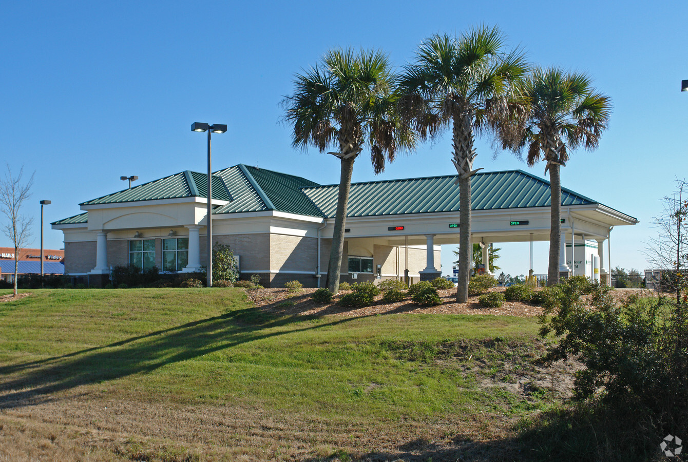
Property Record
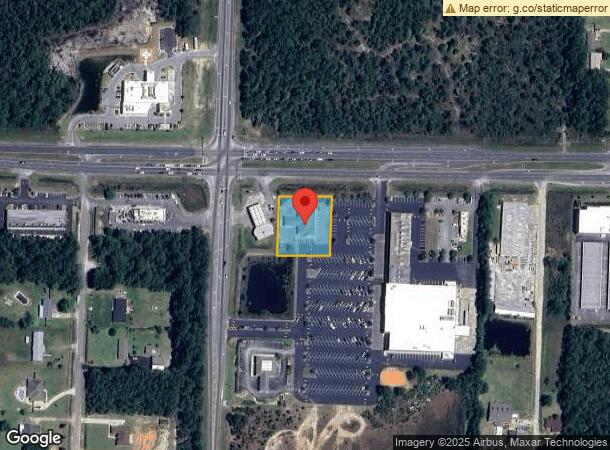
9285 W Highway 98, Pensacola, FL 32506
NEARBY LISTINGS FOR SALE OR LEASE
-
-
View all Pensacola listings for sale on LoopNet.com
Property Detail
9285 W Highway 98
Pensacola-Ferry Pass-Brent, FL
Blue Angel Crossing
23-2S-31-1000-000-020
LOT 2 BLUE ANGEL CROSSING PB 16 P 64 OR 5087 P 796
Financialbuilding
Escambia
X
Florida
12033C0364G
2
2023
0.83 AC
2024
Myrtle Grove/Bellview
002704
Pensacola
3,243 SF
DEMOGRAPHICS near 9285 W Highway 98
1 Mile
3 Mile
5 Mile
2024 Total Population
1,840
30,846
75,532
2029 Population
1,861
31,491
77,169
Pop Growth 2024-2029
+ 1.14%
+ 2.09%
+ 2.17%
Average Age
39
38
38
2024 Total Households
732
11,897
29,201
HH Growth 2024-2029
+ 1.09%
+ 2.04%
+ 2.14%
Median Household Inc
$51,905
$53,791
$49,125
Avg Household Size
2.50
2.40
2.40
2024 Avg HH Vehicles
2.00
2.00
2.00
Median Home Value
$197,825
$172,068
$158,864
Median Year Built
1992
1987
1979
Nearby Places
- Restaurants
- Banks
- Shops
- Fitness
- Groceries
PUBLIC TRANSPORTATION
AIRPORT
Pensacola International
DRIVE
WALK
Distance
Pensacola International
24 min
11.9 mi
Freight Ports
Port of Mobile
DRIVE
WALK
Distance
Port of Mobile
70 min
57.5 mi
Nearby Properties
Address
Land Use
TOTAL SIZE
Lot Size
Zoning
Address
Land Use
TOTAL SIZE
Lot Size
Zoning
6,950 SF
584.36 AC
PUB
Address
Land Use
TOTAL SIZE
Lot Size
Zoning
288,114 SF
17.89 AC
HC/LI
Address
Land Use
TOTAL SIZE
Lot Size
Zoning
199,800 SF
14.05 AC
HC/LI
Address
Land Use
TOTAL SIZE
Lot Size
Zoning
207,331 SF
24.09 AC
HDR
Address
Land Use
TOTAL SIZE
Lot Size
Zoning
174,904 SF
12.71 AC
HC/LI
Address
Land Use
TOTAL SIZE
Lot Size
Zoning
381,252 SF
25.22 AC
COM
Address
Land Use
TOTAL SIZE
Lot Size
Zoning
127,684 SF
8.24 AC
HDR
Address
Land Use
TOTAL SIZE
Lot Size
Zoning
133,096 SF
10.32 AC
HDR
Address
Land Use
TOTAL SIZE
Lot Size
Zoning
128,434 SF
10.62 AC
COM
Address
Land Use
TOTAL SIZE
Lot Size
Zoning
61,788 SF
8.60 AC
HDR
Address
Land Use
TOTAL SIZE
Lot Size
Zoning
113,040 SF
45 AC
COM,LDMU
Address
Land Use
TOTAL SIZE
Lot Size
Zoning
103,098 SF
4.20 AC
HC/LI
Address
Land Use
TOTAL SIZE
Lot Size
Zoning
68,291 SF
9.10 AC
HC/LI
Address
Land Use
TOTAL SIZE
Lot Size
Zoning
57,501 SF
7.47 AC
HDR
Address
Land Use
TOTAL SIZE
Lot Size
Zoning
56,384 SF
7.97 AC
MDR
Address
Land Use
TOTAL SIZE
Lot Size
Zoning
54,693 SF
38.57 AC
COM,MDR
Address
Land Use
TOTAL SIZE
Lot Size
Zoning
76,539 SF
7.15 AC
COM
Address
Land Use
TOTAL SIZE
Lot Size
Zoning
14,242 SF
8.26 AC
HC/LI
Address
Land Use
TOTAL SIZE
Lot Size
Zoning
68,085 SF
1.82 AC
COM
Address
Land Use
TOTAL SIZE
Lot Size
Zoning
70,961 SF
3.01 AC
COM
Address
Land Use
TOTAL SIZE
Lot Size
Zoning
60,804 SF
116.24 AC
COM
Address
Land Use
TOTAL SIZE
Lot Size
Zoning
32,248 SF
1.82 AC
HDMU
Address
Land Use
TOTAL SIZE
Lot Size
Zoning
31,696 SF
2.03 AC
HDMU
Address
Land Use
TOTAL SIZE
Lot Size
Zoning
42,424 SF
5.48 AC
COM
Address
Land Use
TOTAL SIZE
Lot Size
Zoning
47,680 SF
44.08 AC
COM,HDR
Address
Land Use
TOTAL SIZE
Lot Size
Zoning
20,157 SF
2.60 AC
COM
Address
Land Use
TOTAL SIZE
Lot Size
Zoning
17,664 SF
0.82 AC
HDMU
Address
Land Use
TOTAL SIZE
Lot Size
Zoning
61,130 SF
19.95 AC
HC/LI
Address
Land Use
TOTAL SIZE
Lot Size
Zoning
25,339 SF
2.82 AC
HDMU
Address
Land Use
TOTAL SIZE
Lot Size
Zoning
19,038 SF
4.63 AC
COM
The World's #1 Commercial Real Estate Marketplace
Connect with us
© 2025 CoStar Group
The information above has been obtained from sources believed reliable. While we do not doubt its accuracy we have not verified it and make no guarantee, warranty or representation about it. It is your responsibility to independently confirm its accuracy and completeness. Any projections, opinions, assumptions, or estimates used are for example only and do not represent the current or future performance of the property. The value of this transaction to you depends on tax and other factors which should be evaluated by your tax, financial, and legal advisors. You and your advisors should conduct a careful, independent investigation of the property to determine to your satisfaction the suitability of the property for your needs.