Property Record
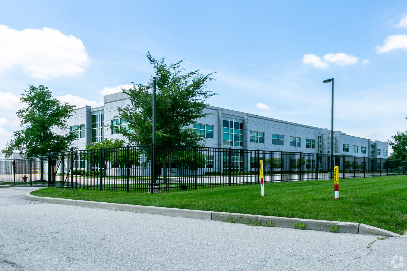
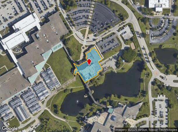
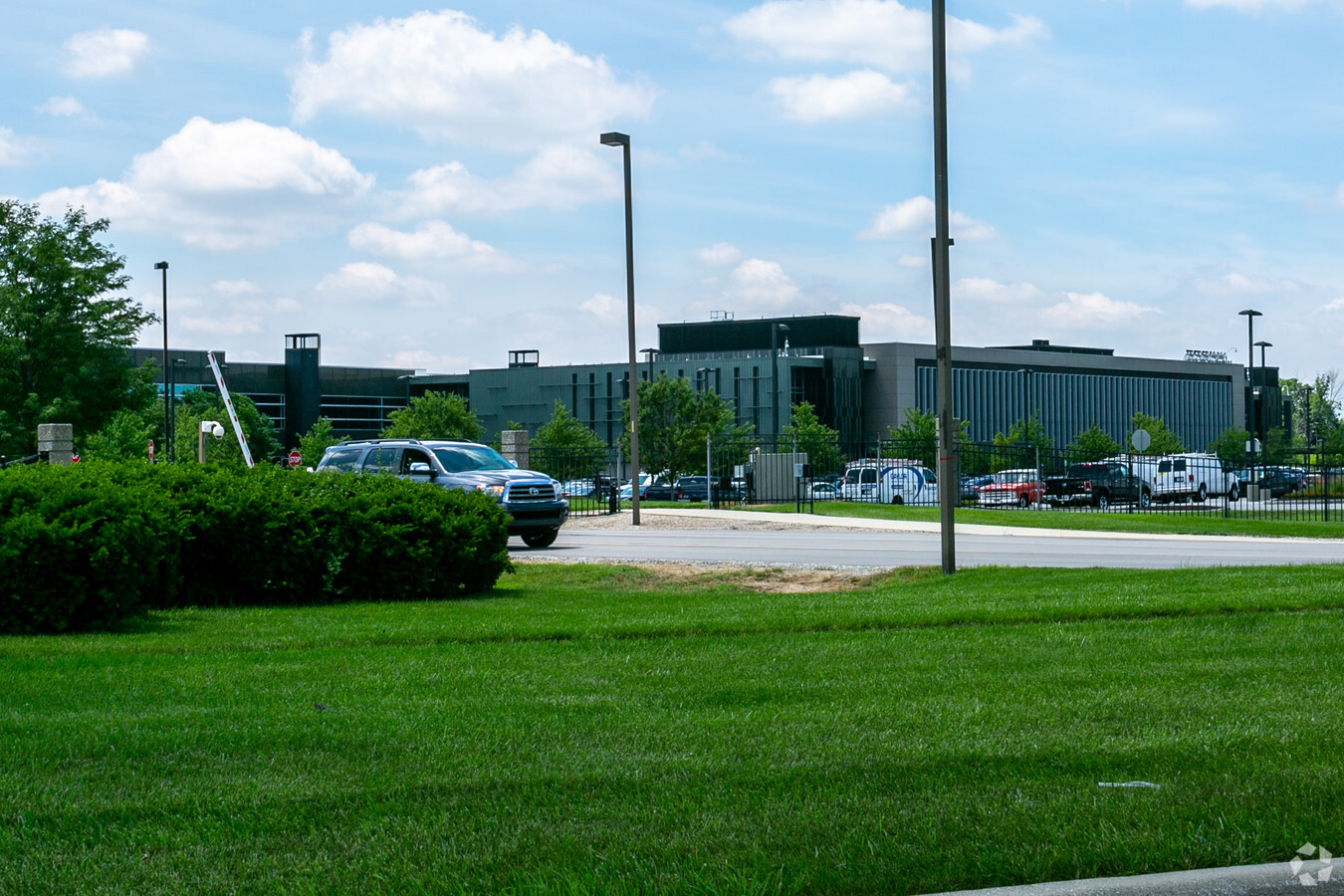
9330 Zionsville Rd, Indianapolis, IN 46268
NEARBY LISTINGS FOR SALE OR LEASE
Property Detail
9330 Zionsville Rd
49-04-14-111-012.000-600
Improvements On Leased Ground On Parcel
Industrialgeneral
IMPROVEMENTS ON LEASED GROUND ON PARCEL 6018652PT NE14 & PT SE1/4 FOR COMPLETE LEGAL SEEPRC 6018652
X
Marion
18097C0020F
Indiana
2023
9 AC
2023
Park 100
310104
Indianapolis
101,620 SF
Indianapolis-Carmel-Anderson, IN
DEMOGRAPHICS near 9330 Zionsville Rd
1 Mile
3 Mile
5 Mile
2024 Total Population
1,429
30,329
119,386
2029 Population
1,589
31,861
124,000
Pop Growth 2024-2029
+ 11.20%
+ 5.05%
+ 3.86%
Average Age
50
42
38
2024 Total Households
604
12,800
46,921
HH Growth 2024-2029
+ 11.92%
+ 4.63%
+ 3.17%
Median Household Inc
$111,940
$91,294
$84,374
Avg Household Size
2.20
2.30
2.50
2024 Avg HH Vehicles
2.00
2.00
2.00
Median Home Value
$450,869
$367,784
$331,080
Median Year Built
1998
1990
1990
Nearby Places
- Restaurants
- Banks
- Shops
- Fitness
- Groceries
PUBLIC TRANSPORTATION
AIRPORT
Indianapolis International
DRIVE
WALK
Distance
Indianapolis International
38 min
21.2 mi
Freight Ports
Port of Toledo
DRIVE
WALK
Distance
Port of Toledo
271 min
226.3 mi
Nearby Properties
Address
Land Use
TOTAL SIZE
Lot Size
Zoning
Address
Land Use
TOTAL SIZE
Lot Size
Zoning
278,637 SF
43.98 AC
ZO01
Address
Land Use
TOTAL SIZE
Lot Size
Zoning
68,990 SF
188.21 AC
ZO01
Address
Land Use
TOTAL SIZE
Lot Size
Zoning
18,569 SF
9.57 AC
ZO01
Address
Land Use
TOTAL SIZE
Lot Size
Zoning
10,380 SF
24 AC
ZO01
Address
Land Use
TOTAL SIZE
Lot Size
Zoning
1,470 SF
19.02 AC
ZO01
Address
Land Use
TOTAL SIZE
Lot Size
Zoning
34,863 SF
14.77 AC
ZO01
Address
Land Use
TOTAL SIZE
Lot Size
Zoning
5,434 SF
11.35 AC
ZO01
Address
Land Use
TOTAL SIZE
Lot Size
Zoning
9,076 SF
18 AC
ZO01
Address
Land Use
TOTAL SIZE
Lot Size
Zoning
168,710 SF
5.24 AC
ZO01
Address
Land Use
TOTAL SIZE
Lot Size
Zoning
521,092 SF
23.46 AC
ZO01
Address
Land Use
TOTAL SIZE
Lot Size
Zoning
204,544 SF
12.80 AC
ZO01
Address
Land Use
TOTAL SIZE
Lot Size
Zoning
9,139 SF
13 AC
ZO01
Address
Land Use
TOTAL SIZE
Lot Size
Zoning
301,907 SF
43.90 AC
ZO01
Address
Land Use
TOTAL SIZE
Lot Size
Zoning
512,730 SF
21.80 AC
ZO01
Address
Land Use
TOTAL SIZE
Lot Size
Zoning
742,342 SF
27.69 AC
ZO01
Address
Land Use
TOTAL SIZE
Lot Size
Zoning
115,522 SF
10.38 AC
ZO01
Address
Land Use
TOTAL SIZE
Lot Size
Zoning
110,373 SF
47.98 AC
ZO01
Address
Land Use
TOTAL SIZE
Lot Size
Zoning
149,334 SF
15.89 AC
ZO01
Address
Land Use
TOTAL SIZE
Lot Size
Zoning
179,586 SF
10.23 AC
ZO01
Address
Land Use
TOTAL SIZE
Lot Size
Zoning
7,469 SF
24.52 AC
ZO01
Address
Land Use
TOTAL SIZE
Lot Size
Zoning
158,292 SF
7.88 AC
ZO01
Address
Land Use
TOTAL SIZE
Lot Size
Zoning
3,158 SF
14.16 AC
ZO01
Address
Land Use
TOTAL SIZE
Lot Size
Zoning
370,962 SF
17.91 AC
ZO01
Address
Land Use
TOTAL SIZE
Lot Size
Zoning
89,704 SF
28.63 AC
ZO01
Address
Land Use
TOTAL SIZE
Lot Size
Zoning
123,575 SF
13.04 AC
Address
Land Use
TOTAL SIZE
Lot Size
Zoning
17,780 SF
18.99 AC
ZO01
Address
Land Use
TOTAL SIZE
Lot Size
Zoning
458,000 SF
23.07 AC
ZO01
Address
Land Use
TOTAL SIZE
Lot Size
Zoning
463,506 SF
18.59 AC
ZO01
Address
Land Use
TOTAL SIZE
Lot Size
Zoning
421,312 SF
21 AC
ZO01
Address
Land Use
TOTAL SIZE
Lot Size
Zoning
312,690 SF
15.16 AC
ZO01
The World's #1 Commercial Real Estate Marketplace
Connect with us
© 2025 CoStar Group
The information above has been obtained from sources believed reliable. While we do not doubt its accuracy we have not verified it and make no guarantee, warranty or representation about it. It is your responsibility to independently confirm its accuracy and completeness. Any projections, opinions, assumptions, or estimates used are for example only and do not represent the current or future performance of the property. The value of this transaction to you depends on tax and other factors which should be evaluated by your tax, financial, and legal advisors. You and your advisors should conduct a careful, independent investigation of the property to determine to your satisfaction the suitability of the property for your needs.