Property Record
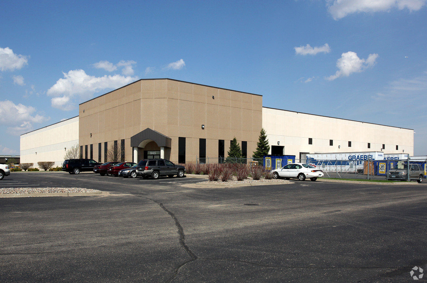
945 Aldrin Dr, Saint Paul, MN 55121


NEARBY LISTINGS FOR SALE OR LEASE
Property Detail
945 Aldrin Dr
Minneapolis-St. Paul-Bloomington, MN-WI
Eagandale Corporate Center No 3
10-22517-01-010
EAGANDALE CORPORATE CENTER NO 3 1 1
Industrialgeneral
Dakota
X
Minnesota
27053C0500F
10
2024
6.92 AC
2023
South Central
060717
Minneapolis/St Paul
70,478 SF
DEMOGRAPHICS near 945 Aldrin Dr
1 Mile
3 Mile
5 Mile
2024 Total Population
5,473
43,341
124,410
2029 Population
5,606
44,254
126,901
Pop Growth 2024-2029
+ 2.43%
+ 2.11%
+ 2.00%
Average Age
38
40
41
2024 Total Households
2,378
17,033
52,153
HH Growth 2024-2029
+ 1.98%
+ 2.10%
+ 2.03%
Median Household Inc
$81,810
$104,940
$89,771
Avg Household Size
2.20
2.50
2.30
2024 Avg HH Vehicles
2.00
2.00
2.00
Median Home Value
$369,265
$399,006
$367,760
Median Year Built
1988
1988
1986
Nearby Places
- Restaurants
- Banks
- Shops
- Fitness
- Groceries
PUBLIC TRANSPORTATION
AIRPORT
Minneapolis-St Paul International/Wold-Chamberlain
DRIVE
WALK
Distance
Minneapolis-St Paul International/Wold-Chamberlain
15 min
8.1 mi
Freight Ports
Port Milwaukee
DRIVE
WALK
Distance
Port Milwaukee
373 min
336.7 mi
SALE & LEASE HISTORY
LISTING DATE
SALE/LEASE

Feb 03, 2017
For Lease
Nearby Properties
Address
Land Use
TOTAL SIZE
Lot Size
Zoning
Address
Land Use
TOTAL SIZE
Lot Size
Zoning
587,427 SF
87.26 AC
Address
Land Use
TOTAL SIZE
Lot Size
Zoning
657,358 SF
17.12 AC
Address
Land Use
TOTAL SIZE
Lot Size
Zoning
1,286,074 SF
45.30 AC
Address
Land Use
TOTAL SIZE
Lot Size
Zoning
264,370 SF
36.39 AC
Address
Land Use
TOTAL SIZE
Lot Size
Zoning
291,589 SF
6.77 AC
Address
Land Use
TOTAL SIZE
Lot Size
Zoning
1,049,150 SF
87.81 AC
Address
Land Use
TOTAL SIZE
Lot Size
Zoning
300,000 SF
18.44 AC
Address
Land Use
TOTAL SIZE
Lot Size
Zoning
247,451 SF
9.57 AC
Address
Land Use
TOTAL SIZE
Lot Size
Zoning
159,341 SF
2.82 AC
Address
Land Use
TOTAL SIZE
Lot Size
Zoning
541,075 SF
88.93 AC
Address
Land Use
TOTAL SIZE
Lot Size
Zoning
278,025 SF
9.12 AC
Address
Land Use
TOTAL SIZE
Lot Size
Zoning
436,701 SF
19.58 AC
Address
Land Use
TOTAL SIZE
Lot Size
Zoning
227,200 SF
14.78 AC
Address
Land Use
TOTAL SIZE
Lot Size
Zoning
168,846 SF
7.30 AC
Address
Land Use
TOTAL SIZE
Lot Size
Zoning
217,832 SF
15.13 AC
Address
Land Use
TOTAL SIZE
Lot Size
Zoning
205,920 SF
16.68 AC
Address
Land Use
TOTAL SIZE
Lot Size
Zoning
451,103 SF
25.24 AC
Address
Land Use
TOTAL SIZE
Lot Size
Zoning
208,276 SF
10 AC
Address
Land Use
TOTAL SIZE
Lot Size
Zoning
128,798 SF
4.22 AC
Address
Land Use
TOTAL SIZE
Lot Size
Zoning
224,000 SF
18.81 AC
Address
Land Use
TOTAL SIZE
Lot Size
Zoning
238,639 SF
10.01 AC
Address
Land Use
TOTAL SIZE
Lot Size
Zoning
140,375 SF
25.37 AC
Address
Land Use
TOTAL SIZE
Lot Size
Zoning
174,678 SF
24.36 AC
Address
Land Use
TOTAL SIZE
Lot Size
Zoning
666,061 SF
47.45 AC
Address
Land Use
TOTAL SIZE
Lot Size
Zoning
33,365 SF
4.12 AC
Address
Land Use
TOTAL SIZE
Lot Size
Zoning
312,495 SF
32.15 AC
Address
Land Use
TOTAL SIZE
Lot Size
Zoning
358,532 SF
17.36 AC
Address
Land Use
TOTAL SIZE
Lot Size
Zoning
93,995 SF
26.16 AC
Address
Land Use
TOTAL SIZE
Lot Size
Zoning
151,348 SF
43.45 AC
Address
Land Use
TOTAL SIZE
Lot Size
Zoning
135,959 SF
16.72 AC
The World's #1 Commercial Real Estate Marketplace
Connect with us
© 2025 CoStar Group
The information above has been obtained from sources believed reliable. While we do not doubt its accuracy we have not verified it and make no guarantee, warranty or representation about it. It is your responsibility to independently confirm its accuracy and completeness. Any projections, opinions, assumptions, or estimates used are for example only and do not represent the current or future performance of the property. The value of this transaction to you depends on tax and other factors which should be evaluated by your tax, financial, and legal advisors. You and your advisors should conduct a careful, independent investigation of the property to determine to your satisfaction the suitability of the property for your needs.