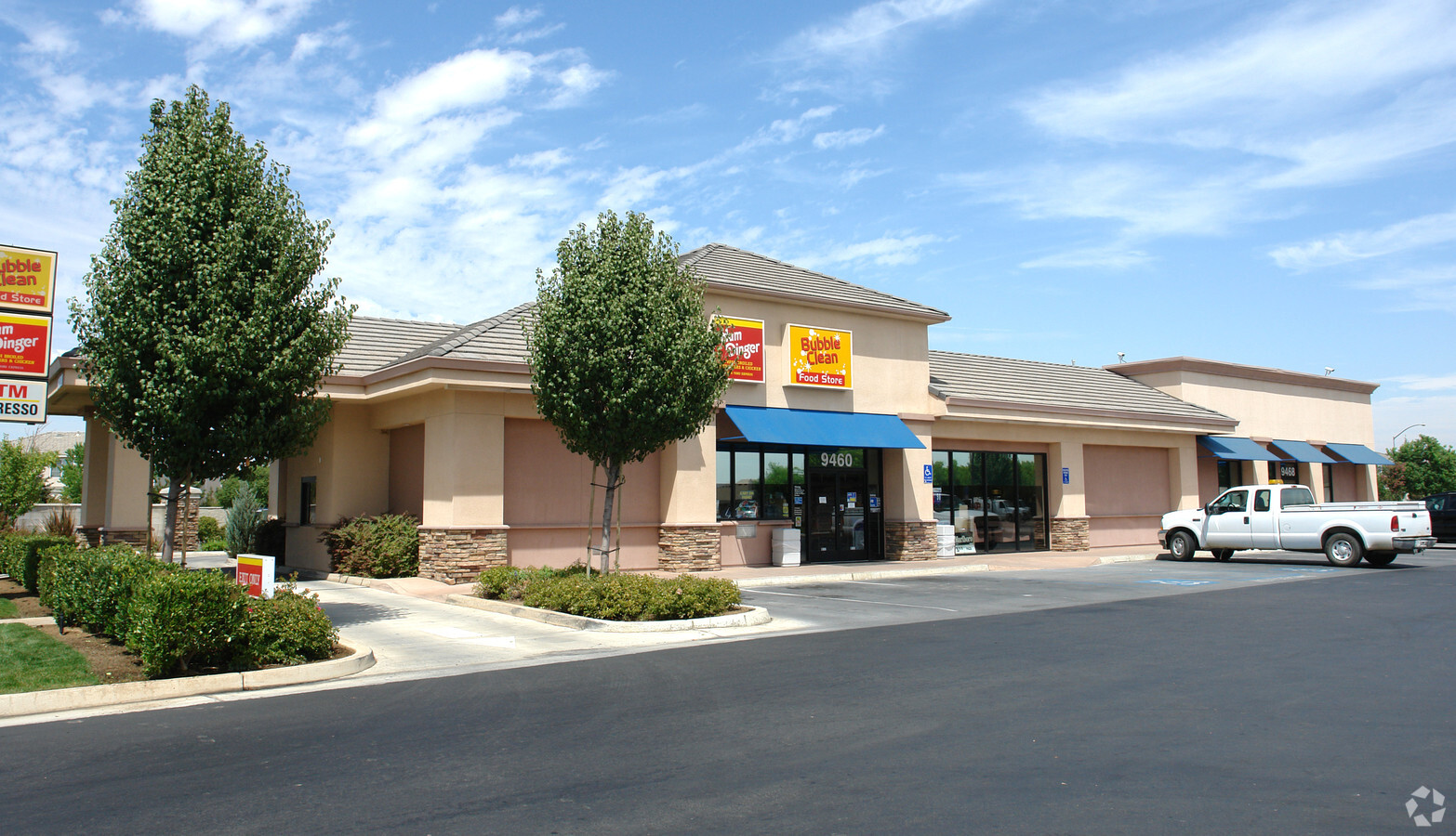
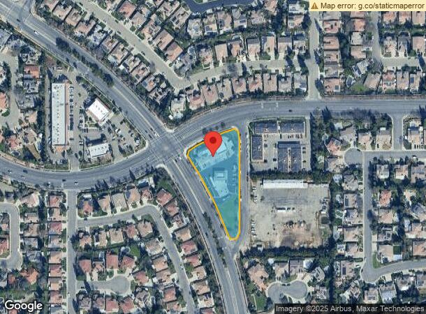
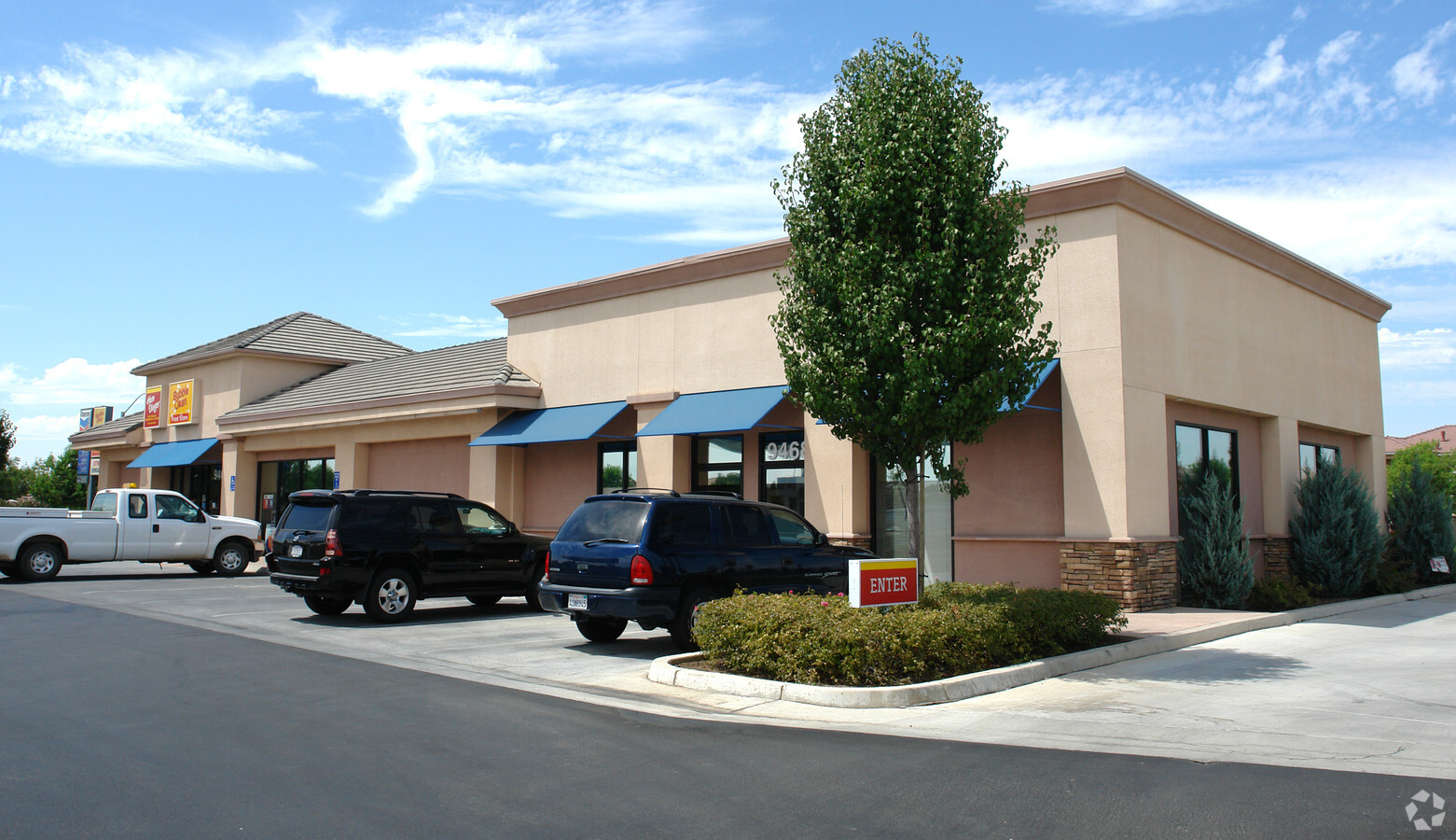
Property Record
9460 N Sommerville Dr, Fresno, CA 93720

NEARBY LISTINGS FOR SALE OR LEASE
Property Detail
9460 N Sommerville Dr
568-120-67S
SUR RT PAR D & E P/M 96-16 BK 59 PGS 64-65
Storebuilding
Fresno
X
California
06019C1580H
1.52 AC
2023
Woodward
2023
Fresno
005505
Fresno, CA
6,247 SF
DEMOGRAPHICS near 9460 N Sommerville Dr
1 Mile
3 Mile
5 Mile
2024 Total Population
16,784
87,597
195,203
2029 Population
17,226
89,854
200,129
Pop Growth 2024-2029
+ 2.63%
+ 2.58%
+ 2.52%
Average Age
39
40
38
2024 Total Households
5,858
32,430
73,211
HH Growth 2024-2029
+ 2.61%
+ 2.52%
+ 2.48%
Median Household Inc
$117,899
$111,116
$80,936
Avg Household Size
2.80
2.70
2.60
2024 Avg HH Vehicles
2.00
2.00
2.00
Median Home Value
$424,758
$448,559
$401,986
Median Year Built
1998
1995
1988
Nearby Places
- Restaurants
- Banks
- Shops
- Fitness
- Groceries
PUBLIC TRANSPORTATION
AIRPORT
Fresno Yosemite International
DRIVE
WALK
Distance
Fresno Yosemite International
16 min
8.8 mi
Freight Ports
Port of Stockton
DRIVE
WALK
Distance
Port of Stockton
159 min
129.4 mi
Nearby Properties
Address
Land Use
TOTAL SIZE
Lot Size
Zoning
Address
Land Use
TOTAL SIZE
Lot Size
Zoning
143,370 SF
6.92 AC
CP
Address
Land Use
TOTAL SIZE
Lot Size
Zoning
180,770 SF
19.03 AC
PCC
Address
Land Use
TOTAL SIZE
Lot Size
Zoning
239,000 SF
20.34 AC
R2
Address
Land Use
TOTAL SIZE
Lot Size
Zoning
32.70 AC
RA
Address
Land Use
TOTAL SIZE
Lot Size
Zoning
192,062 SF
11.50 AC
RS5
Address
Land Use
TOTAL SIZE
Lot Size
Zoning
184,694 SF
9.99 AC
SPLIT
Address
Land Use
TOTAL SIZE
Lot Size
Zoning
119,869 SF
11.08 AC
C1
Address
Land Use
TOTAL SIZE
Lot Size
Zoning
188,177 SF
5.58 AC
CP
Address
Land Use
TOTAL SIZE
Lot Size
Zoning
212,354 SF
13.12 AC
R2
Address
Land Use
TOTAL SIZE
Lot Size
Zoning
174,577 SF
8.40 AC
RM1
Address
Land Use
TOTAL SIZE
Lot Size
Zoning
181,538 SF
0.01 AC
CP
Address
Land Use
TOTAL SIZE
Lot Size
Zoning
200,826 SF
19.23 AC
R2
Address
Land Use
TOTAL SIZE
Lot Size
Zoning
152,550 SF
9.23 AC
R3
Address
Land Use
TOTAL SIZE
Lot Size
Zoning
175,117 SF
10 AC
C1
Address
Land Use
TOTAL SIZE
Lot Size
Zoning
122,486 SF
6.24 AC
CP
Address
Land Use
TOTAL SIZE
Lot Size
Zoning
132,084 SF
9.68 AC
RM1
Address
Land Use
TOTAL SIZE
Lot Size
Zoning
8.80 AC
AE5
Address
Land Use
TOTAL SIZE
Lot Size
Zoning
137,094 SF
4.88 AC
CM
Address
Land Use
TOTAL SIZE
Lot Size
Zoning
77,858 SF
4.23 AC
CP
Address
Land Use
TOTAL SIZE
Lot Size
Zoning
117,490 SF
0.01 AC
CP
Address
Land Use
TOTAL SIZE
Lot Size
Zoning
73,821 SF
6.52 AC
CP
Address
Land Use
TOTAL SIZE
Lot Size
Zoning
37,455 SF
7.31 AC
CP
Address
Land Use
TOTAL SIZE
Lot Size
Zoning
98,530 SF
9.26 AC
RP
Address
Land Use
TOTAL SIZE
Lot Size
Zoning
140,608 SF
11.15 AC
PCC
Address
Land Use
TOTAL SIZE
Lot Size
Zoning
67,677 SF
4 AC
CP
Address
Land Use
TOTAL SIZE
Lot Size
Zoning
69,853 SF
7.13 AC
CP
Address
Land Use
TOTAL SIZE
Lot Size
Zoning
245,178 SF
17.13 AC
R2
Address
Land Use
TOTAL SIZE
Lot Size
Zoning
75,461 SF
3.74 AC
CP
Address
Land Use
TOTAL SIZE
Lot Size
Zoning
213,952 SF
14.25 AC
R3
Address
Land Use
TOTAL SIZE
Lot Size
Zoning
98,128 SF
5.55 AC
O
The World's #1 Commercial Real Estate Marketplace
Connect with us
© 2025 CoStar Group
The information above has been obtained from sources believed reliable. While we do not doubt its accuracy we have not verified it and make no guarantee, warranty or representation about it. It is your responsibility to independently confirm its accuracy and completeness. Any projections, opinions, assumptions, or estimates used are for example only and do not represent the current or future performance of the property. The value of this transaction to you depends on tax and other factors which should be evaluated by your tax, financial, and legal advisors. You and your advisors should conduct a careful, independent investigation of the property to determine to your satisfaction the suitability of the property for your needs.