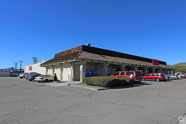
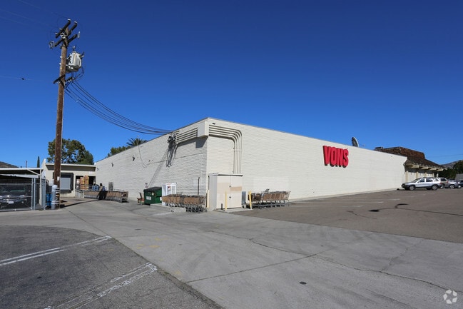
Property Record
950 2Nd St, Encinitas, CA 92024


NEARBY LISTINGS FOR SALE OR LEASE
Property Detail
950 2Nd St
San Diego-Carlsbad, CA
Encinitas
258-183-07
San Diego
Sfr
California
X
0.12 AC
06073C1041H
El Cajon
714 SF
San Diego
DEMOGRAPHICS near 950 2Nd St
1 Mile
3 Mile
5 Mile
2024 Total Population
31,439
149,222
284,914
2029 Population
30,978
147,390
281,321
Pop Growth 2024-2029
(1.47%)
(1.23%)
(1.26%)
Average Age
37
39
40
2024 Total Households
10,198
49,861
98,301
HH Growth 2024-2029
(1.70%)
(1.43%)
(1.47%)
Median Household Inc
$55,608
$68,306
$82,062
Avg Household Size
2.90
2.90
2.80
2024 Avg HH Vehicles
2.00
2.00
2.00
Median Home Value
$574,065
$615,942
$685,387
Median Year Built
1973
1974
1975
Nearby Places
Map Layers
Map Styles
 Street
 Aerial
- Restaurants
- Banks
- Shops
- Fitness
- Groceries
PUBLIC TRANSPORTATION
COMMUTER RAIL
Encinitas (Coaster - San Diego North County Transit District (Coaster/Sprinter/Breeze))
DRIVE
WALK
Distance
Encinitas (Coaster - San Diego North County Transit District (Coaster/Sprinter/Breeze))
3 min
12 min
0.6 mi
Solana Beach (Coaster - San Diego North County Transit District (Coaster/Sprinter/Breeze))
DRIVE
WALK
Distance
Solana Beach (Coaster - San Diego North County Transit District (Coaster/Sprinter/Breeze))
9 min
3.8 mi
AIRPORT
San Diego International
DRIVE
WALK
Distance
San Diego International
32 min
24.9 mi
Freight Ports
Port of San Diego
DRIVE
WALK
Distance
Port of San Diego
38 min
29.4 mi
SALE & LEASE HISTORY
LISTING DATE
SALE/LEASE

May 28, 2019
For Sale
Jul 17, 2019
For Lease
Jul 17, 2019
For Sale
Nearby Properties
Address
Land Use
TOTAL SIZE
Lot Size
Zoning
Address
Land Use
TOTAL SIZE
Lot Size
Zoning
18.19 AC
P-C
Address
Land Use
TOTAL SIZE
Lot Size
Zoning
13.11 AC
P/SP
Address
Land Use
TOTAL SIZE
Lot Size
Zoning
30.88 AC
P-C
Address
Land Use
TOTAL SIZE
Lot Size
Zoning
17.80 AC
GC
Address
Land Use
TOTAL SIZE
Lot Size
Zoning
12.44 AC
P/SP
Address
Land Use
TOTAL SIZE
Lot Size
Zoning
4.46 AC
RR1
Address
Land Use
TOTAL SIZE
Lot Size
Zoning
4.77 AC
ER-MU1
Address
Land Use
TOTAL SIZE
Lot Size
Zoning
11 AC
GC
Address
Land Use
TOTAL SIZE
Lot Size
Zoning
74,583 SF
5.61 AC
R11
Address
Land Use
TOTAL SIZE
Lot Size
Zoning
62,682 SF
7.36 AC
GC
Address
Land Use
TOTAL SIZE
Lot Size
Zoning
66,540 SF
6.35 AC
R11
Address
Land Use
TOTAL SIZE
Lot Size
Zoning
62,357 SF
4.38 AC
R11
Address
Land Use
TOTAL SIZE
Lot Size
Zoning
5.49 AC
R15
Address
Land Use
TOTAL SIZE
Lot Size
Zoning
6.96 AC
R15
Address
Land Use
TOTAL SIZE
Lot Size
Zoning
71,962 SF
5.33 AC
P/SP
Address
Land Use
TOTAL SIZE
Lot Size
Zoning
9.41 AC
R15
Address
Land Use
TOTAL SIZE
Lot Size
Zoning
53,017 SF
2.08 AC
R11
Address
Land Use
TOTAL SIZE
Lot Size
Zoning
10.76 AC
GC
Address
Land Use
TOTAL SIZE
Lot Size
Zoning
97,263 SF
7.73 AC
GC
Address
Land Use
TOTAL SIZE
Lot Size
Zoning
32,742 SF
5.91 AC
GC
Address
Land Use
TOTAL SIZE
Lot Size
Zoning
94,704 SF
4.21 AC
R25
Address
Land Use
TOTAL SIZE
Lot Size
Zoning
55,772 SF
4.54 AC
P-C
Address
Land Use
TOTAL SIZE
Lot Size
Zoning
7.32 AC
GC
Address
Land Use
TOTAL SIZE
Lot Size
Zoning
9.16 AC
ER-C
Address
Land Use
TOTAL SIZE
Lot Size
Zoning
14.57 AC
RR2
Address
Land Use
TOTAL SIZE
Lot Size
Zoning
90,028 SF
3.24 AC
R3
Address
Land Use
TOTAL SIZE
Lot Size
Zoning
24,580 SF
1.40 AC
D-CM-1
Address
Land Use
TOTAL SIZE
Lot Size
Zoning
92,266 SF
7.75 AC
GC
Address
Land Use
TOTAL SIZE
Lot Size
Zoning
8.91 AC
R20
Address
Land Use
TOTAL SIZE
Lot Size
Zoning
68,000 SF
0.56 AC
C
The World's #1 Commercial Real Estate Marketplace
Connect with us
© 2025 CoStar Group
The information above has been obtained from sources believed reliable. While we do not doubt its accuracy we have not verified it and make no guarantee, warranty or representation about it. It is your responsibility to independently confirm its accuracy and completeness. Any projections, opinions, assumptions, or estimates used are for example only and do not represent the current or future performance of the property. The value of this transaction to you depends on tax and other factors which should be evaluated by your tax, financial, and legal advisors. You and your advisors should conduct a careful, independent investigation of the property to determine to your satisfaction the suitability of the property for your needs.