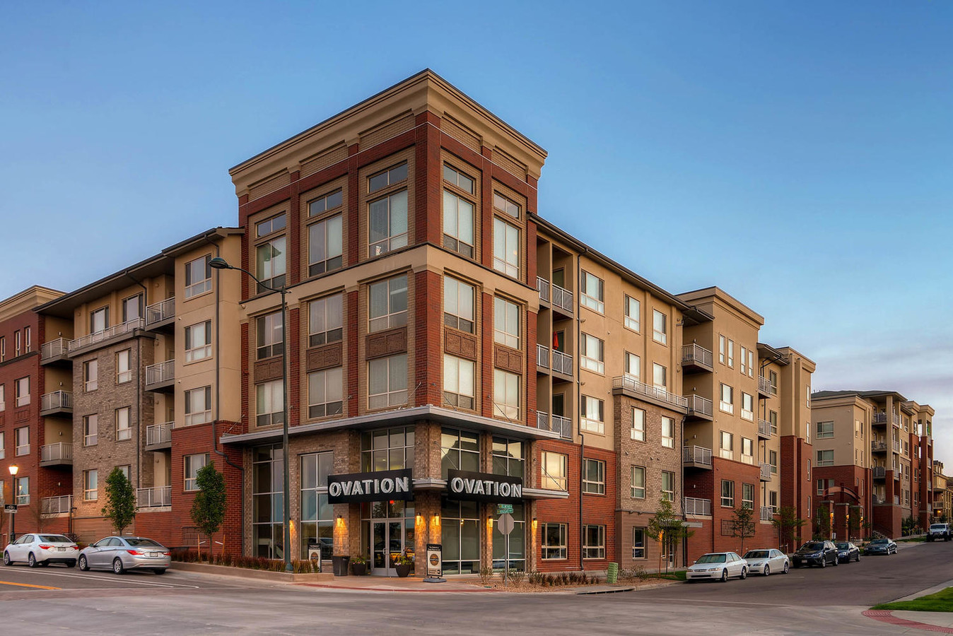
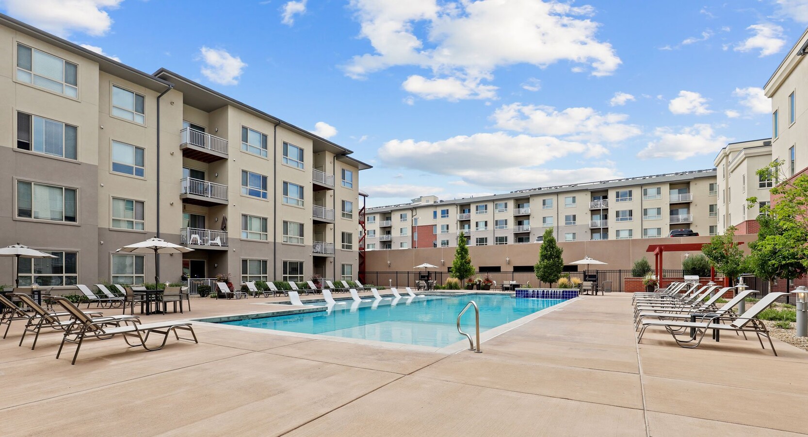
Property Record
9521 Halstead Ln, Lone Tree, CO 80124
NEARBY LISTINGS FOR SALE OR LEASE
Property Detail
9521 Halstead Ln
Denver-Aurora-Lakewood, CO
Ridgegate Section 15
2231-152-15-001
LOT 1 BLOCK 3 RIDGEGATE SECTION 15 FLG 11 3.24 AM/L
Commercialnec
Douglas
X
Colorado
08035C0044G
1
2023
3.25 AC
2023
Highlands Ranch-Lone Tree
014125
Denver
166,200 SF
DEMOGRAPHICS near 9521 Halstead Ln
1 Mile
3 Mile
5 Mile
2024 Total Population
9,311
61,802
189,166
2029 Population
10,748
70,166
208,891
Pop Growth 2024-2029
+ 15.43%
+ 13.53%
+ 10.43%
Average Age
41
39
39
2024 Total Households
4,237
24,902
71,836
HH Growth 2024-2029
+ 15.60%
+ 13.98%
+ 10.40%
Median Household Inc
$115,261
$118,800
$127,436
Avg Household Size
2.10
2.40
2.60
2024 Avg HH Vehicles
2.00
2.00
2.00
Median Home Value
$832,095
$667,409
$666,583
Median Year Built
2010
2001
1998
Nearby Places
- Restaurants
- Banks
- Shops
- Fitness
- Groceries
PUBLIC TRANSPORTATION
TRANSIT/SUBWAY
Sky Ridge Station (Union Station to RidgeGate Parkway Station - Regional Transportation District)
DRIVE
WALK
Distance
Sky Ridge Station (Union Station to RidgeGate Parkway Station - Regional Transportation District)
1 min
11 min
0.6 mi
AIRPORT
Denver International
DRIVE
WALK
Distance
Denver International
40 min
34.9 mi
Freight Ports
Tulsa Port Of Catoosa
DRIVE
WALK
Distance
Tulsa Port Of Catoosa
733 min
714.8 mi
SALE & LEASE HISTORY
LISTING DATE
SALE/LEASE

Dec 22, 2016
For Lease
Nearby Properties
Address
Land Use
TOTAL SIZE
Lot Size
Zoning
Address
Land Use
TOTAL SIZE
Lot Size
Zoning
709,725 SF
29.14 AC
Address
Land Use
TOTAL SIZE
Lot Size
Zoning
808,808 SF
28.65 AC
Address
Land Use
TOTAL SIZE
Lot Size
Zoning
223,092 SF
19.72 AC
Address
Land Use
TOTAL SIZE
Lot Size
Zoning
1,658,397 SF
32.01 AC
Address
Land Use
TOTAL SIZE
Lot Size
Zoning
248,965 SF
70.73 AC
Address
Land Use
TOTAL SIZE
Lot Size
Zoning
661,139 SF
Address
Land Use
TOTAL SIZE
Lot Size
Zoning
364,806 SF
75.76 AC
PDU
Address
Land Use
TOTAL SIZE
Lot Size
Zoning
1,210,850 SF
13.65 AC
AMU
Address
Land Use
TOTAL SIZE
Lot Size
Zoning
162,758 SF
11.21 AC
Address
Land Use
TOTAL SIZE
Lot Size
Zoning
305,198 SF
34.41 AC
PUD
Address
Land Use
TOTAL SIZE
Lot Size
Zoning
621,565 SF
32.64 AC
PDU
Address
Land Use
TOTAL SIZE
Lot Size
Zoning
650,416 SF
33.37 AC
LI
Address
Land Use
TOTAL SIZE
Lot Size
Zoning
47,751 SF
3.02 AC
Address
Land Use
TOTAL SIZE
Lot Size
Zoning
696,285 SF
38.43 AC
PDU
Address
Land Use
TOTAL SIZE
Lot Size
Zoning
163,443 SF
14.39 AC
Address
Land Use
TOTAL SIZE
Lot Size
Zoning
231,715 SF
5.58 AC
Address
Land Use
TOTAL SIZE
Lot Size
Zoning
418,258 SF
14.46 AC
PDU
Address
Land Use
TOTAL SIZE
Lot Size
Zoning
326,230 SF
9.69 AC
Address
Land Use
TOTAL SIZE
Lot Size
Zoning
128,812 SF
2.55 AC
Address
Land Use
TOTAL SIZE
Lot Size
Zoning
494,862 SF
30.59 AC
PDU
Address
Land Use
TOTAL SIZE
Lot Size
Zoning
651,701 SF
10.77 AC
PDU
Address
Land Use
TOTAL SIZE
Lot Size
Zoning
228,693 SF
13.10 AC
Address
Land Use
TOTAL SIZE
Lot Size
Zoning
488,998 SF
32.43 AC
PDU
Address
Land Use
TOTAL SIZE
Lot Size
Zoning
126,202 SF
2.27 AC
Address
Land Use
TOTAL SIZE
Lot Size
Zoning
200,897 SF
9.69 AC
Address
Land Use
TOTAL SIZE
Lot Size
Zoning
187,757 SF
7.46 AC
Address
Land Use
TOTAL SIZE
Lot Size
Zoning
283,789 SF
10.98 AC
PDU
Address
Land Use
TOTAL SIZE
Lot Size
Zoning
112,021 SF
3.17 AC
Address
Land Use
TOTAL SIZE
Lot Size
Zoning
460,760 SF
20.98 AC
PDU
Address
Land Use
TOTAL SIZE
Lot Size
Zoning
122,017 SF
11.39 AC
PDU
The World's #1 Commercial Real Estate Marketplace
Connect with us
© 2025 CoStar Group
The information above has been obtained from sources believed reliable. While we do not doubt its accuracy we have not verified it and make no guarantee, warranty or representation about it. It is your responsibility to independently confirm its accuracy and completeness. Any projections, opinions, assumptions, or estimates used are for example only and do not represent the current or future performance of the property. The value of this transaction to you depends on tax and other factors which should be evaluated by your tax, financial, and legal advisors. You and your advisors should conduct a careful, independent investigation of the property to determine to your satisfaction the suitability of the property for your needs.