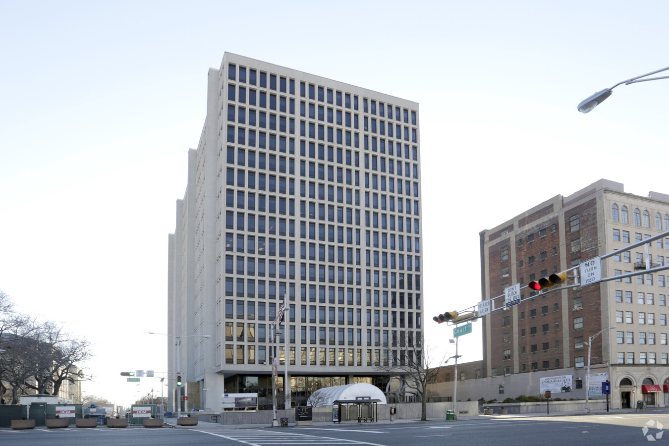
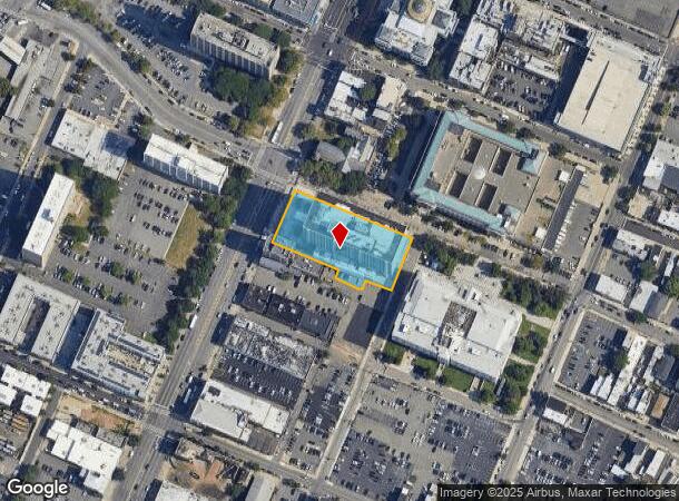
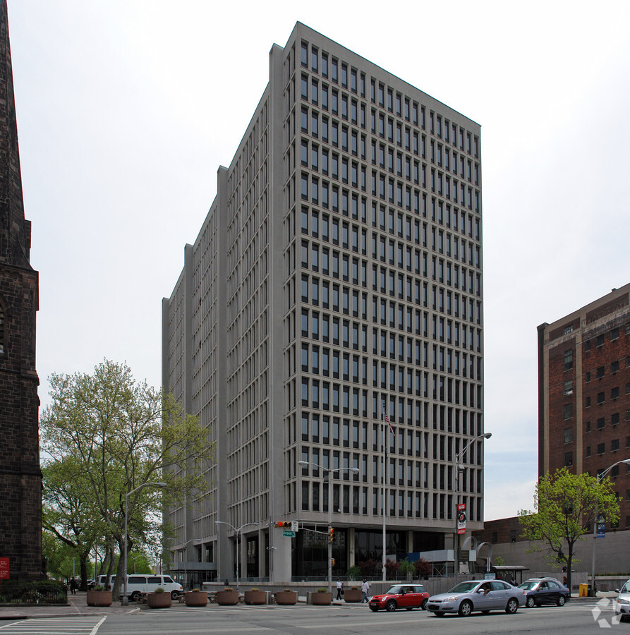
Property Record
960 Broad St, Newark, NJ 07102
NEARBY LISTINGS FOR SALE OR LEASE
Property Detail
960 Broad St
Newark, NJ-PA
162.1X346.6 ADMINISTRATIVE BLDG.
14-00882-0000-00001
Essex
Governmentalpublicusegeneral
New Jersey
X
1
34013C0156F
1.29 AC
0
Newark
2024
Northern New Jersey
008000
DEMOGRAPHICS near 960 Broad St
1 Mile
3 Mile
5 Mile
2024 Total Population
56,376
331,005
761,502
2029 Population
55,133
319,383
736,377
Pop Growth 2024-2029
(2.20%)
(3.51%)
(3.30%)
Average Age
37
36
38
2024 Total Households
22,277
119,307
276,317
HH Growth 2024-2029
(2.03%)
(3.55%)
(3.41%)
Median Household Inc
$44,059
$45,277
$56,029
Avg Household Size
2.30
2.60
2.60
2024 Avg HH Vehicles
1.00
1.00
1.00
Median Home Value
$337,301
$305,299
$346,647
Median Year Built
1977
1965
1958
Nearby Places
- Restaurants
- Banks
- Shops
- Fitness
- Groceries
PUBLIC TRANSPORTATION
TRANSIT/SUBWAY
Military Park (Grove Street - Newark Penn Station - Newark Light Rail (Newark Light Rail))
DRIVE
WALK
Distance
Military Park (Grove Street - Newark Penn Station - Newark Light Rail (Newark Light Rail))
1 min
11 min
0.6 mi
Washington Street (Grove Street - Newark Penn Station - Newark Light Rail (Newark Light Rail))
DRIVE
WALK
Distance
Washington Street (Grove Street - Newark Penn Station - Newark Light Rail (Newark Light Rail))
2 min
14 min
0.7 mi
Njpac/Center Street (Broad Street Station - Newark Penn Station - Newark Light Rail (Newark Light Rail))
DRIVE
WALK
Distance
Njpac/Center Street (Broad Street Station - Newark Penn Station - Newark Light Rail (Newark Light Rail))
3 min
18 min
0.9 mi
Washington Park (Broad Street Station - Newark Penn Station - Newark Light Rail (Newark Light Rail))
DRIVE
WALK
Distance
Washington Park (Broad Street Station - Newark Penn Station - Newark Light Rail (Newark Light Rail))
2 min
20 min
1.0 mi
COMMUTER RAIL
Newark Penn Station (Broad Street Station - Newark Penn Station - NJ Transit Commuter Rail (NJ Transit), Grove Street - Newark Penn Station - NJ Transit Commuter Rail (NJ Transit), Newark Penn Station-World Trade Center - NJ Transit Commuter Rail (NJ Transit), North Jersey Coast Line - NJ Transit Commuter Rail (NJ Transit), Northeast Corridor Line - NJ Transit Commuter Rail (NJ Transit), Raritan Valley Line - NJ Transit Commuter Rail (NJ Transit))
DRIVE
WALK
Distance
Newark Penn Station (Broad Street Station - Newark Penn Station - NJ Transit Commuter Rail (NJ Transit), Grove Street - Newark Penn Station - NJ Transit Commuter Rail (NJ Transit), Newark Penn Station-World Trade Center - NJ Transit Commuter Rail (NJ Transit), North Jersey Coast Line - NJ Transit Commuter Rail (NJ Transit), Northeast Corridor Line - NJ Transit Commuter Rail (NJ Transit), Raritan Valley Line - NJ Transit Commuter Rail (NJ Transit))
2 min
16 min
0.9 mi
Harrison (Newark Penn Station-World Trade Center - Port Authority Trans-Hudson (PATH))
DRIVE
WALK
Distance
Harrison (Newark Penn Station-World Trade Center - Port Authority Trans-Hudson (PATH))
5 min
1.9 mi
AIRPORT
Newark Liberty International
DRIVE
WALK
Distance
Newark Liberty International
8 min
4.9 mi
Laguardia
DRIVE
WALK
Distance
Laguardia
42 min
24.2 mi
John F Kennedy International
DRIVE
WALK
Distance
John F Kennedy International
51 min
30.6 mi
Freight Ports
Port Newark Container Terminal
DRIVE
WALK
Distance
Port Newark Container Terminal
11 min
5.0 mi
Nearby Properties
Address
Land Use
TOTAL SIZE
Lot Size
Zoning
Address
Land Use
TOTAL SIZE
Lot Size
Zoning
0.57 AC
Address
Land Use
TOTAL SIZE
Lot Size
Zoning
0.45 AC
Address
Land Use
TOTAL SIZE
Lot Size
Zoning
Address
Land Use
TOTAL SIZE
Lot Size
Zoning
0.60 AC
Address
Land Use
TOTAL SIZE
Lot Size
Zoning
31.86 AC
Address
Land Use
TOTAL SIZE
Lot Size
Zoning
25.69 AC
Address
Land Use
TOTAL SIZE
Lot Size
Zoning
Address
Land Use
TOTAL SIZE
Lot Size
Zoning
98.48 AC
Address
Land Use
TOTAL SIZE
Lot Size
Zoning
877 SF
7.25 AC
Address
Land Use
TOTAL SIZE
Lot Size
Zoning
1,136 SF
6.51 AC
Address
Land Use
TOTAL SIZE
Lot Size
Zoning
8.66 AC
Address
Land Use
TOTAL SIZE
Lot Size
Zoning
4.51 AC
Address
Land Use
TOTAL SIZE
Lot Size
Zoning
683 SF
9.59 AC
Address
Land Use
TOTAL SIZE
Lot Size
Zoning
Address
Land Use
TOTAL SIZE
Lot Size
Zoning
3.42 AC
Address
Land Use
TOTAL SIZE
Lot Size
Zoning
320 SF
1.25 AC
Address
Land Use
TOTAL SIZE
Lot Size
Zoning
710 SF
39.32 AC
Address
Land Use
TOTAL SIZE
Lot Size
Zoning
9.77 AC
Address
Land Use
TOTAL SIZE
Lot Size
Zoning
877 SF
0.91 AC
Address
Land Use
TOTAL SIZE
Lot Size
Zoning
1.64 AC
Address
Land Use
TOTAL SIZE
Lot Size
Zoning
Address
Land Use
TOTAL SIZE
Lot Size
Zoning
1.63 AC
Address
Land Use
TOTAL SIZE
Lot Size
Zoning
2.79 AC
Address
Land Use
TOTAL SIZE
Lot Size
Zoning
4.82 AC
Address
Land Use
TOTAL SIZE
Lot Size
Zoning
Address
Land Use
TOTAL SIZE
Lot Size
Zoning
1,264 SF
3.20 AC
Address
Land Use
TOTAL SIZE
Lot Size
Zoning
Address
Land Use
TOTAL SIZE
Lot Size
Zoning
0.06 AC
Address
Land Use
TOTAL SIZE
Lot Size
Zoning
0.09 AC
Address
Land Use
TOTAL SIZE
Lot Size
Zoning
877 SF
1.95 AC
The World's #1 Commercial Real Estate Marketplace
Connect with us
© 2025 CoStar Group
The information above has been obtained from sources believed reliable. While we do not doubt its accuracy we have not verified it and make no guarantee, warranty or representation about it. It is your responsibility to independently confirm its accuracy and completeness. Any projections, opinions, assumptions, or estimates used are for example only and do not represent the current or future performance of the property. The value of this transaction to you depends on tax and other factors which should be evaluated by your tax, financial, and legal advisors. You and your advisors should conduct a careful, independent investigation of the property to determine to your satisfaction the suitability of the property for your needs.