Property Record
9651 Belair Rd, Nottingham, MD 21236
NEARBY LISTINGS FOR SALE OR LEASE
Property Detail
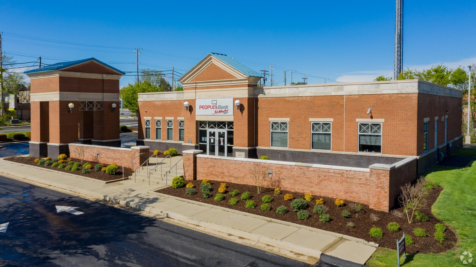
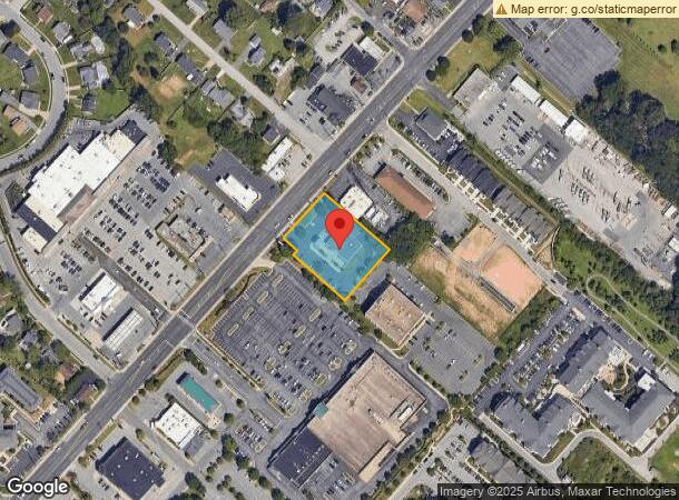
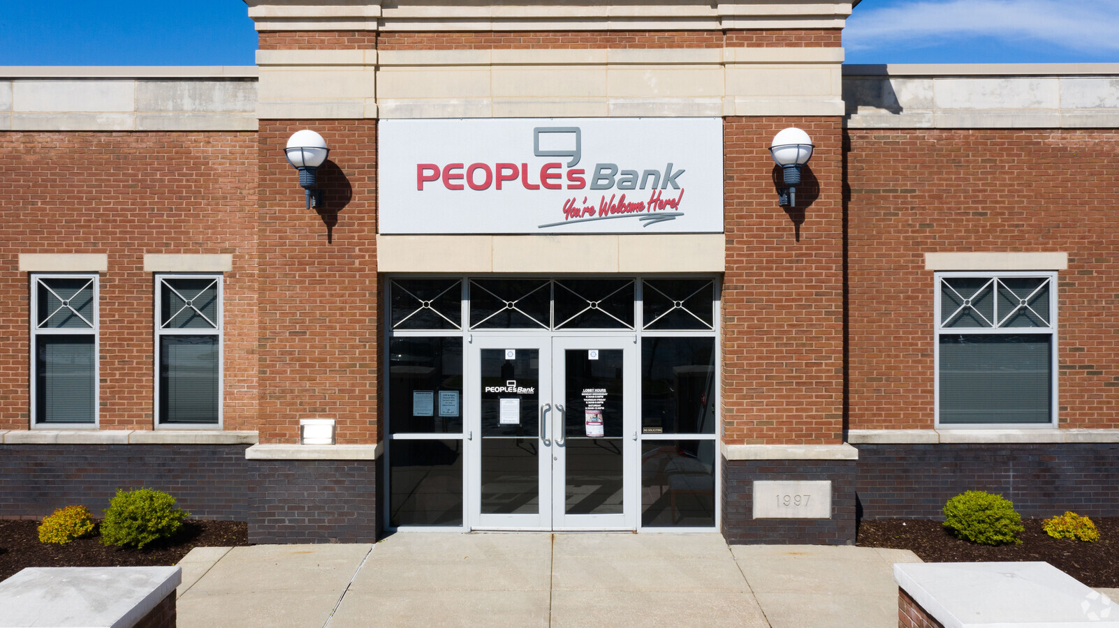
9651 Belair Rd
Baltimore-Columbia-Towson, MD
Madison Square Federal S
11-2300008141
0.977 AC MADISON SQUARE FEDERAL S
Financialbuilding
Baltimore
X
Maryland
2400100290G
1
2024
1 AC
2024
Baltimore County East
411309
Baltimore
4,764 SF
DEMOGRAPHICS near 9651 Belair Rd
1 Mile
3 Mile
5 Mile
2024 Total Population
10,068
57,699
134,551
2029 Population
10,000
56,913
132,862
Pop Growth 2024-2029
(0.68%)
(1.36%)
(1.26%)
Average Age
45
42
41
2024 Total Households
4,136
22,023
52,664
HH Growth 2024-2029
(0.75%)
(1.48%)
(1.37%)
Median Household Inc
$86,587
$100,724
$87,505
Avg Household Size
2.40
2.50
2.50
2024 Avg HH Vehicles
2.00
2.00
2.00
Median Home Value
$345,087
$340,605
$318,712
Median Year Built
1989
1986
1981
Nearby Places
- Restaurants
- Banks
- Shops
- Fitness
- Groceries
PUBLIC TRANSPORTATION
COMMUTER RAIL
Martin State Airport (Penn Line - Maryland Area Regional Commuter Trains (The MARC))
DRIVE
WALK
Distance
Martin State Airport (Penn Line - Maryland Area Regional Commuter Trains (The MARC))
14 min
8.7 mi
AIRPORT
Baltimore-Washington International
DRIVE
WALK
Distance
Baltimore-Washington International
36 min
25.1 mi
Freight Ports
Port of Baltimore
DRIVE
WALK
Distance
Port of Baltimore
1 min
12.7 mi
Nearby Properties
Address
Land Use
TOTAL SIZE
Lot Size
Zoning
Address
Land Use
TOTAL SIZE
Lot Size
Zoning
527,364 SF
18.11 AC
BM
Address
Land Use
TOTAL SIZE
Lot Size
Zoning
584,740 SF
32.61 AC
Address
Land Use
TOTAL SIZE
Lot Size
Zoning
16.08 AC
DR16
Address
Land Use
TOTAL SIZE
Lot Size
Zoning
214,738 SF
5.92 AC
Address
Land Use
TOTAL SIZE
Lot Size
Zoning
190,826 SF
9.89 AC
Address
Land Use
TOTAL SIZE
Lot Size
Zoning
225,070 SF
20.65 AC
Address
Land Use
TOTAL SIZE
Lot Size
Zoning
12.20 AC
DR16
Address
Land Use
TOTAL SIZE
Lot Size
Zoning
240,121 SF
9.97 AC
Address
Land Use
TOTAL SIZE
Lot Size
Zoning
239,798 SF
11.90 AC
Address
Land Use
TOTAL SIZE
Lot Size
Zoning
222,711 SF
39.21 AC
DR55
Address
Land Use
TOTAL SIZE
Lot Size
Zoning
7.72 AC
DR5.5
Address
Land Use
TOTAL SIZE
Lot Size
Zoning
9.54 AC
DR16
Address
Land Use
TOTAL SIZE
Lot Size
Zoning
64,480 SF
20.43 AC
Address
Land Use
TOTAL SIZE
Lot Size
Zoning
12.81 AC
DR16
Address
Land Use
TOTAL SIZE
Lot Size
Zoning
12.09 AC
DR5.5
Address
Land Use
TOTAL SIZE
Lot Size
Zoning
7.85 AC
DR5.5
Address
Land Use
TOTAL SIZE
Lot Size
Zoning
9.79 AC
DR5.5
Address
Land Use
TOTAL SIZE
Lot Size
Zoning
10,605 SF
12.96 AC
BL
Address
Land Use
TOTAL SIZE
Lot Size
Zoning
100,725 SF
6.30 AC
BL
Address
Land Use
TOTAL SIZE
Lot Size
Zoning
164,175 SF
15.67 AC
BLCCC
Address
Land Use
TOTAL SIZE
Lot Size
Zoning
82,227 SF
7.20 AC
BM
Address
Land Use
TOTAL SIZE
Lot Size
Zoning
10.88 AC
DR16
Address
Land Use
TOTAL SIZE
Lot Size
Zoning
199,200 SF
13.76 AC
BM
Address
Land Use
TOTAL SIZE
Lot Size
Zoning
24.17 AC
DR5.5
Address
Land Use
TOTAL SIZE
Lot Size
Zoning
16.96 AC
DR5.5
Address
Land Use
TOTAL SIZE
Lot Size
Zoning
115,185 SF
12.88 AC
BM
Address
Land Use
TOTAL SIZE
Lot Size
Zoning
141,550 SF
23.80 AC
ML
Address
Land Use
TOTAL SIZE
Lot Size
Zoning
100,418 SF
3.80 AC
ML
Address
Land Use
TOTAL SIZE
Lot Size
Zoning
165,000 SF
13.10 AC
Address
Land Use
TOTAL SIZE
Lot Size
Zoning
69,744 SF
9.19 AC
BL-CS
The World's #1 Commercial Real Estate Marketplace
Connect with us
© 2025 CoStar Group
The information above has been obtained from sources believed reliable. While we do not doubt its accuracy we have not verified it and make no guarantee, warranty or representation about it. It is your responsibility to independently confirm its accuracy and completeness. Any projections, opinions, assumptions, or estimates used are for example only and do not represent the current or future performance of the property. The value of this transaction to you depends on tax and other factors which should be evaluated by your tax, financial, and legal advisors. You and your advisors should conduct a careful, independent investigation of the property to determine to your satisfaction the suitability of the property for your needs.