Property Record
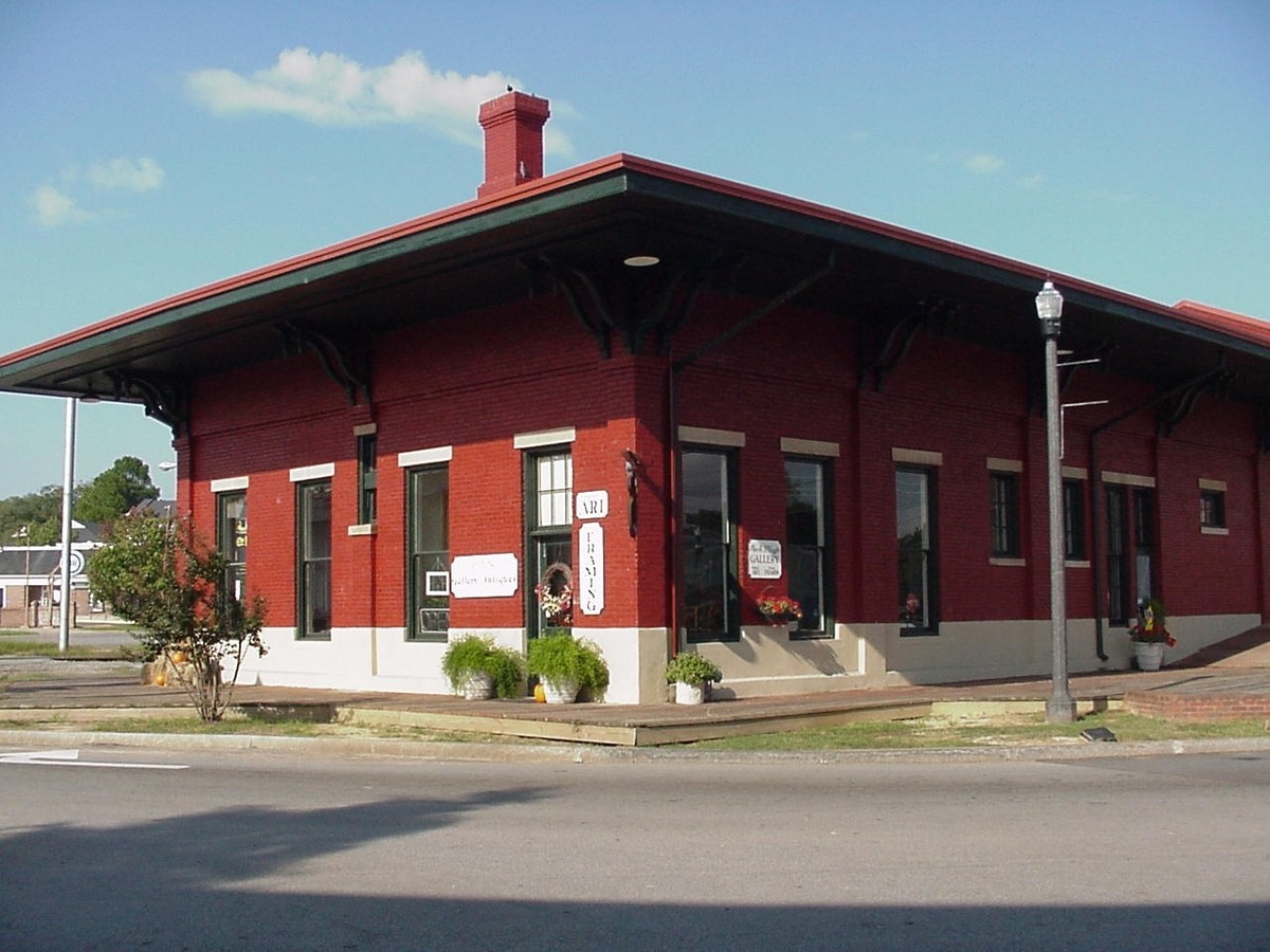
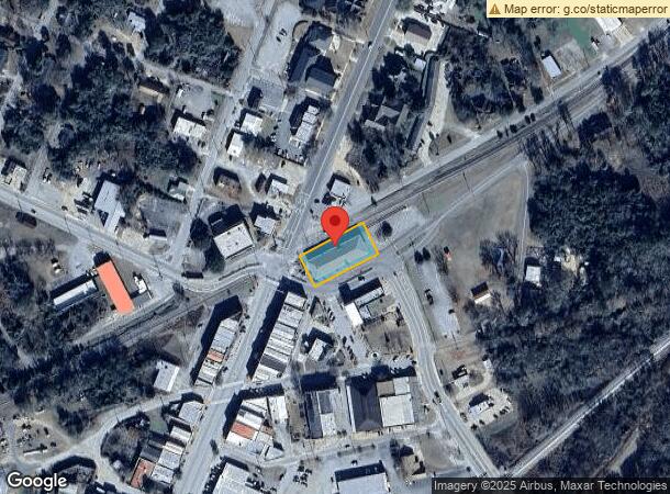
97 E Railroad St, Montezuma, GA 31063
NEARBY LISTINGS FOR SALE OR LEASE
Property Detail
97 E Railroad St
4023R-0001
Mz-Cent Comm
Librarymuseum
.097 ACRES
X
Macon
13193C0317E
Georgia
0
0.97 AC
2024
Georgia South Area
000400
Other Market Areas
1,800 SF
DEMOGRAPHICS near 97 E Railroad St
1 Mile
3 Mile
5 Mile
2024 Total Population
2,065
4,996
6,684
2029 Population
2,080
4,901
6,536
Pop Growth 2024-2029
+ 0.73%
(1.90%)
(2.21%)
Average Age
44
42
41
2024 Total Households
852
2,035
2,502
HH Growth 2024-2029
+ 0.82%
(2.01%)
(2.28%)
Median Household Inc
$47,191
$39,743
$37,361
Avg Household Size
2.30
2.30
2.30
2024 Avg HH Vehicles
2.00
2.00
2.00
Median Home Value
$111,220
$84,033
$80,814
Median Year Built
1978
1980
1981
Nearby Places
- Restaurants
- Banks
- Shops
- Fitness
- Groceries
SALE & LEASE HISTORY
LISTING DATE
SALE/LEASE

Nov 01, 2016
For Lease
Nearby Properties
Address
Land Use
TOTAL SIZE
Lot Size
Zoning
Address
Land Use
TOTAL SIZE
Lot Size
Zoning
197,136 SF
18 AC
007
Address
Land Use
TOTAL SIZE
Lot Size
Zoning
108,241 SF
59.96 AC
002
Address
Land Use
TOTAL SIZE
Lot Size
Zoning
68,121 SF
19.55 AC
002
Address
Land Use
TOTAL SIZE
Lot Size
Zoning
33,870 SF
0.28 AC
007
Address
Land Use
TOTAL SIZE
Lot Size
Zoning
17.31 AC
007
Address
Land Use
TOTAL SIZE
Lot Size
Zoning
31,056 SF
0.52 AC
007
Address
Land Use
TOTAL SIZE
Lot Size
Zoning
654.32 AC
AG-2
Address
Land Use
TOTAL SIZE
Lot Size
Zoning
11,916 SF
18.50 AC
007
Address
Land Use
TOTAL SIZE
Lot Size
Zoning
5,731 SF
2.90 AC
C
Address
Land Use
TOTAL SIZE
Lot Size
Zoning
77,429 SF
8.39 AC
C
Address
Land Use
TOTAL SIZE
Lot Size
Zoning
63,708 SF
4.42 AC
I
Address
Land Use
TOTAL SIZE
Lot Size
Zoning
13,056 SF
9 AC
AG-2
Address
Land Use
TOTAL SIZE
Lot Size
Zoning
14.27 AC
002
Address
Land Use
TOTAL SIZE
Lot Size
Zoning
10,432 SF
2.09 AC
007
Address
Land Use
TOTAL SIZE
Lot Size
Zoning
30,434 SF
2.22 AC
C
Address
Land Use
TOTAL SIZE
Lot Size
Zoning
11,568 SF
0.82 AC
C
Address
Land Use
TOTAL SIZE
Lot Size
Zoning
0.78 AC
007
Address
Land Use
TOTAL SIZE
Lot Size
Zoning
4,368 SF
3.26 AC
007
Address
Land Use
TOTAL SIZE
Lot Size
Zoning
21.95 AC
R-1
Address
Land Use
TOTAL SIZE
Lot Size
Zoning
14,312 SF
1.43 AC
007
Address
Land Use
TOTAL SIZE
Lot Size
Zoning
16,080 SF
4.84 AC
001
Address
Land Use
TOTAL SIZE
Lot Size
Zoning
11,372 SF
2.56 AC
007
Address
Land Use
TOTAL SIZE
Lot Size
Zoning
2,400 SF
299.12 AC
R-1
Address
Land Use
TOTAL SIZE
Lot Size
Zoning
10,318 SF
1.98 AC
C
Address
Land Use
TOTAL SIZE
Lot Size
Zoning
9,940 SF
0.75 AC
007
Address
Land Use
TOTAL SIZE
Lot Size
Zoning
166,698 SF
13.34 AC
I
Address
Land Use
TOTAL SIZE
Lot Size
Zoning
19,200 SF
7.62 AC
002
Address
Land Use
TOTAL SIZE
Lot Size
Zoning
24,060 SF
0.45 AC
002
Address
Land Use
TOTAL SIZE
Lot Size
Zoning
9,528 SF
2.21 AC
007
Address
Land Use
TOTAL SIZE
Lot Size
Zoning
16,644 SF
7.29 AC
002
The World's #1 Commercial Real Estate Marketplace
Connect with us
© 2025 CoStar Group
The information above has been obtained from sources believed reliable. While we do not doubt its accuracy we have not verified it and make no guarantee, warranty or representation about it. It is your responsibility to independently confirm its accuracy and completeness. Any projections, opinions, assumptions, or estimates used are for example only and do not represent the current or future performance of the property. The value of this transaction to you depends on tax and other factors which should be evaluated by your tax, financial, and legal advisors. You and your advisors should conduct a careful, independent investigation of the property to determine to your satisfaction the suitability of the property for your needs.