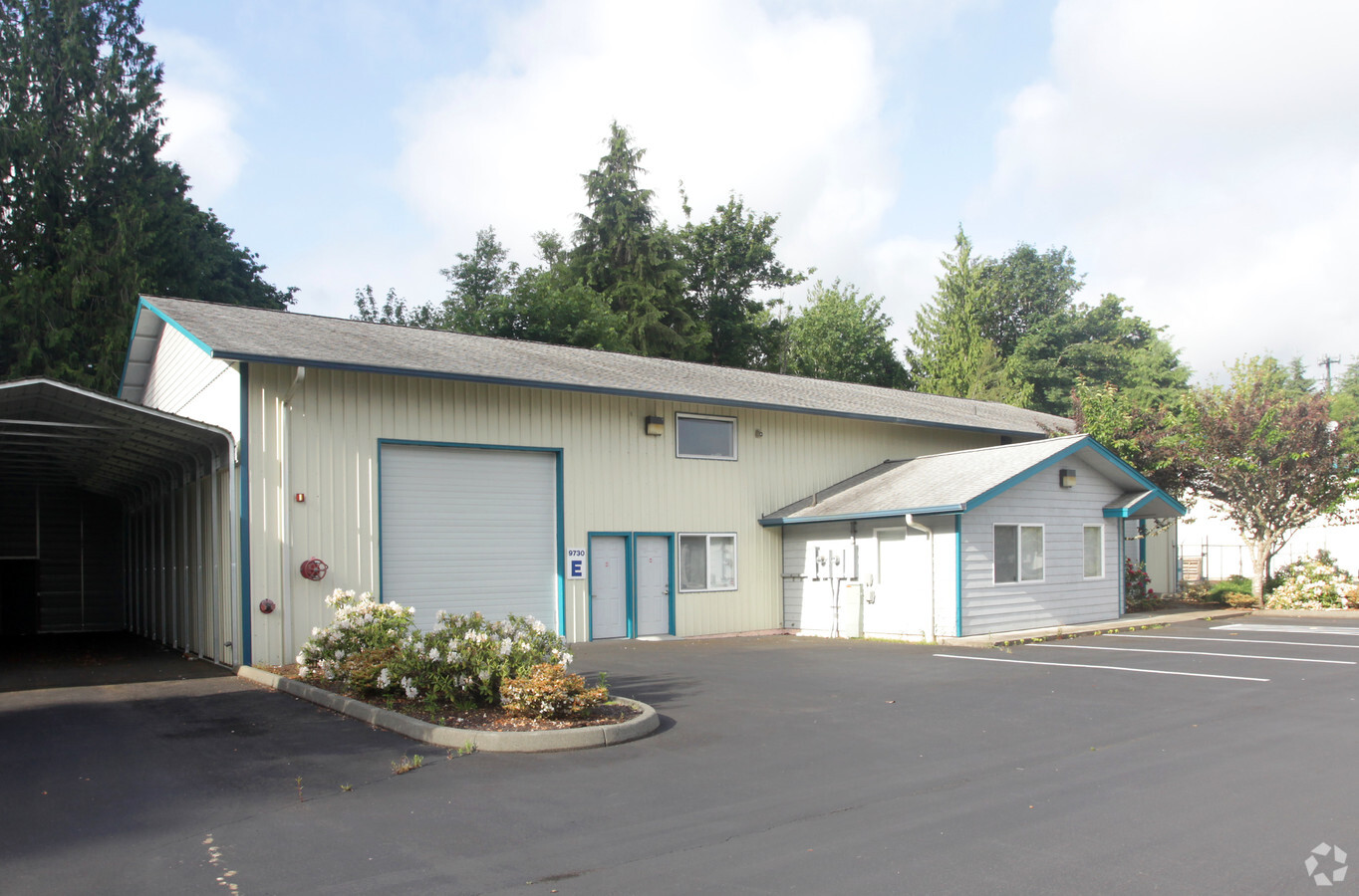
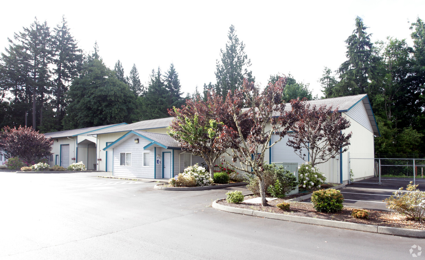
Property Record
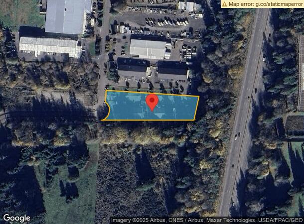
9730 Lathrop Industrial Dr Sw, Olympia, WA 98512
NEARBY LISTINGS FOR SALE OR LEASE
Property Detail
9730 Lathrop Industrial Dr Sw
Olympia-Tumwater, WA
Lathrop Industrial Park
58610000800
SECTION 21 TOWNSHIP 17 RANGE 2W PLAT LATHROP INDUSTRIAL PARK LT 8 DOCUMENT 021/132
Industrialgeneral
Thurston
X
Washington
53067C0280E
8
2024
1.74 AC
2024
Outlying Thurston County
011822
Olympia
19,004 SF
DEMOGRAPHICS near 9730 Lathrop Industrial Dr Sw
1 Mile
3 Mile
5 Mile
2024 Total Population
674
10,820
38,856
2029 Population
712
11,505
41,209
Pop Growth 2024-2029
+ 5.64%
+ 6.33%
+ 6.06%
Average Age
43
42
42
2024 Total Households
240
4,089
15,536
HH Growth 2024-2029
+ 5.83%
+ 6.38%
+ 6.10%
Median Household Inc
$82,770
$81,997
$82,992
Avg Household Size
2.70
2.60
2.50
2024 Avg HH Vehicles
3.00
2.00
2.00
Median Home Value
$469,166
$409,244
$416,247
Median Year Built
1992
1991
1990
Nearby Places
- Restaurants
- Banks
- Shops
- Fitness
- Groceries
Nearby Properties
Address
Land Use
TOTAL SIZE
Lot Size
Zoning
Address
Land Use
TOTAL SIZE
Lot Size
Zoning
1,099,200 SF
79.09 AC
LI
Address
Land Use
TOTAL SIZE
Lot Size
Zoning
395,355 SF
35.74 AC
TC
Address
Land Use
TOTAL SIZE
Lot Size
Zoning
184,887 SF
41 AC
SFM1
Address
Land Use
TOTAL SIZE
Lot Size
Zoning
226,221 SF
Address
Land Use
TOTAL SIZE
Lot Size
Zoning
146,122 SF
Address
Land Use
TOTAL SIZE
Lot Size
Zoning
199,920 SF
14.38 AC
Address
Land Use
TOTAL SIZE
Lot Size
Zoning
199,880 SF
14.54 AC
Address
Land Use
TOTAL SIZE
Lot Size
Zoning
147,418 SF
11.74 AC
MFH
Address
Land Use
TOTAL SIZE
Lot Size
Zoning
120,284 SF
118 AC
ARI2
Address
Land Use
TOTAL SIZE
Lot Size
Zoning
78,580 SF
21.38 AC
ARI
Address
Land Use
TOTAL SIZE
Lot Size
Zoning
140,133 SF
40 AC
LTF
Address
Land Use
TOTAL SIZE
Lot Size
Zoning
76,142 SF
11.94 AC
TC
Address
Land Use
TOTAL SIZE
Lot Size
Zoning
588 SF
173.31 AC
TC
Address
Land Use
TOTAL SIZE
Lot Size
Zoning
63,137 SF
10.18 AC
LI
Address
Land Use
TOTAL SIZE
Lot Size
Zoning
56,318 SF
2.36 AC
TC
Address
Land Use
TOTAL SIZE
Lot Size
Zoning
69,878 SF
18.37 AC
LI
Address
Land Use
TOTAL SIZE
Lot Size
Zoning
81,499 SF
17.81 AC
GC
Address
Land Use
TOTAL SIZE
Lot Size
Zoning
52,471 SF
27.92 AC
LI
Address
Land Use
TOTAL SIZE
Lot Size
Zoning
86,965 SF
8.51 AC
TC
Address
Land Use
TOTAL SIZE
Lot Size
Zoning
146,572 SF
Address
Land Use
TOTAL SIZE
Lot Size
Zoning
50,996 SF
12.98 AC
MFH
Address
Land Use
TOTAL SIZE
Lot Size
Zoning
105,972 SF
7.34 AC
LI
Address
Land Use
TOTAL SIZE
Lot Size
Zoning
43,641 SF
2.39 AC
MU
Address
Land Use
TOTAL SIZE
Lot Size
Zoning
188,412 SF
Address
Land Use
TOTAL SIZE
Lot Size
Zoning
13.11 AC
Address
Land Use
TOTAL SIZE
Lot Size
Zoning
1,200 SF
84.44 AC
ARI
Address
Land Use
TOTAL SIZE
Lot Size
Zoning
42,684 SF
79.09 AC
R 1/10
Address
Land Use
TOTAL SIZE
Lot Size
Zoning
89,788 SF
5.01 AC
LI
Address
Land Use
TOTAL SIZE
Lot Size
Zoning
11,586 SF
11.22 AC
LI
Address
Land Use
TOTAL SIZE
Lot Size
Zoning
2,339 SF
39.01 AC
LI
The World's #1 Commercial Real Estate Marketplace
Connect with us
© 2025 CoStar Group
The information above has been obtained from sources believed reliable. While we do not doubt its accuracy we have not verified it and make no guarantee, warranty or representation about it. It is your responsibility to independently confirm its accuracy and completeness. Any projections, opinions, assumptions, or estimates used are for example only and do not represent the current or future performance of the property. The value of this transaction to you depends on tax and other factors which should be evaluated by your tax, financial, and legal advisors. You and your advisors should conduct a careful, independent investigation of the property to determine to your satisfaction the suitability of the property for your needs.