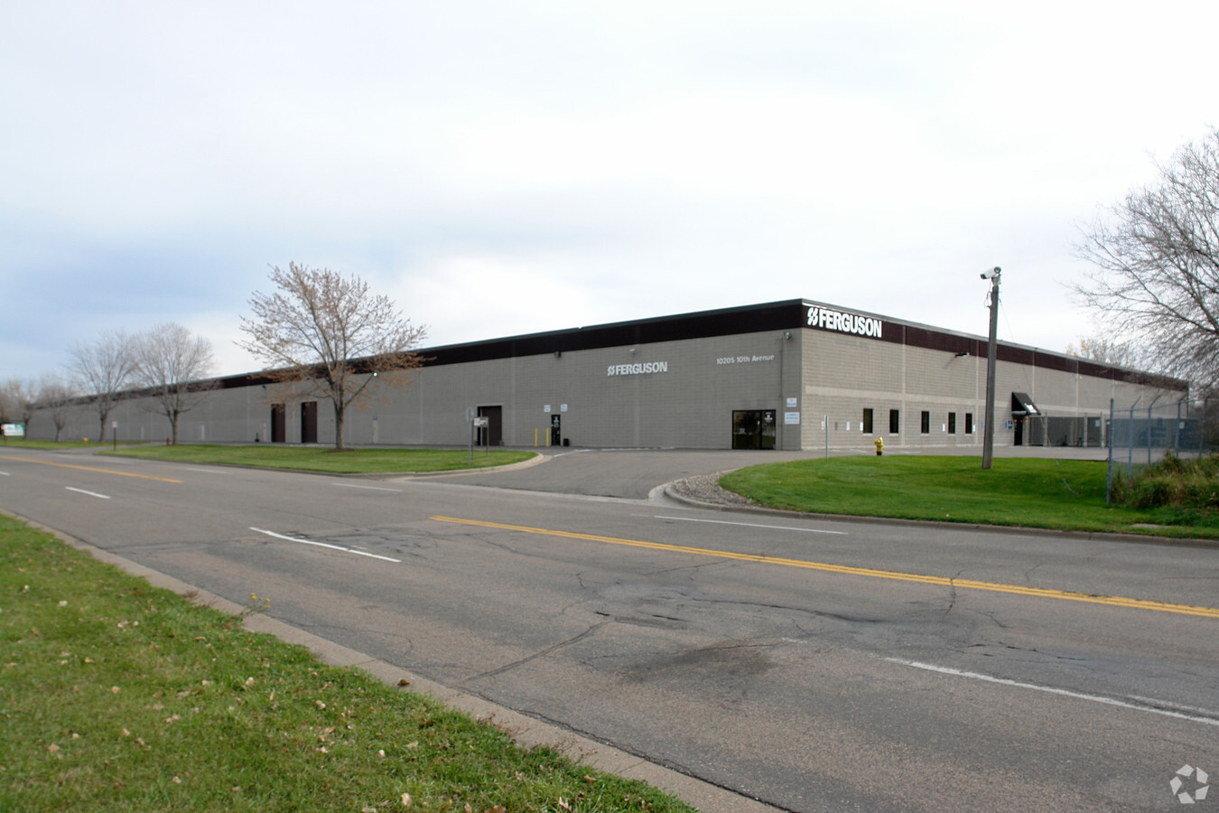
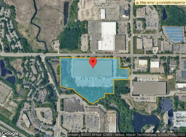
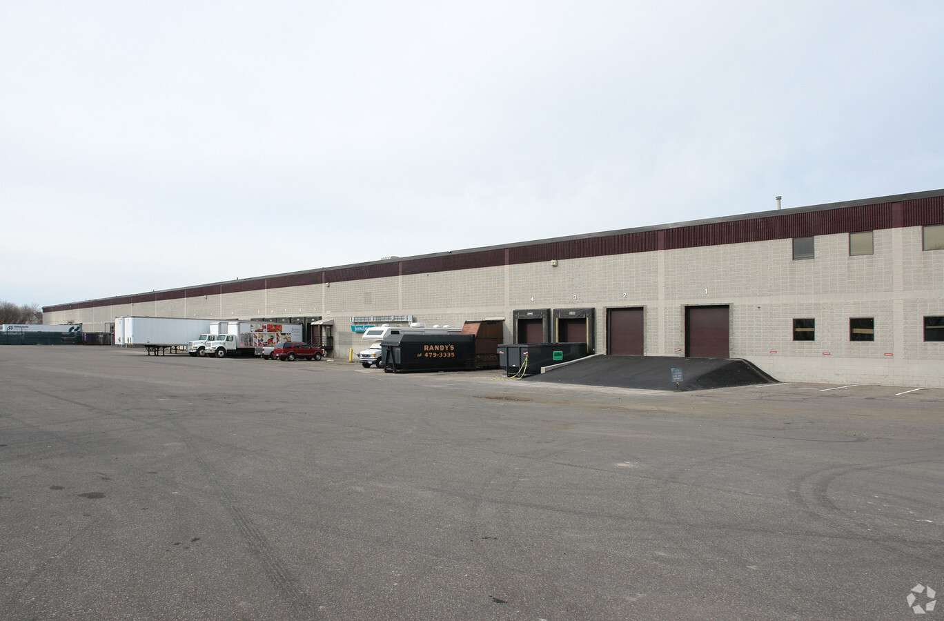
Property Record
975 Nathan Ln N, Minneapolis, MN 55441

NEARBY LISTINGS FOR SALE OR LEASE
Property Detail
975 Nathan Ln N
Minneapolis-St. Paul-Bloomington, MN-WI
Unplatted 36 118 22
36-118-22-13-0012
UNPLATTED 36 118 22 THAT PART OF THE SOUTHWEST QUARTER OF THE NORTHEAST QUARTER OF SECTION 36 TOWNSHIP 118 RANGE 22 DESCRIBED AS BEGINNING AT A POINT ON THE NORTH T IRREGULAR
Industrialgeneral
Hennepin
AE
Minnesota
27053C0331F
17.07 AC
2024
Northwest
2023
Minneapolis/St Paul
026516
DEMOGRAPHICS near 975 Nathan Ln N
1 Mile
3 Mile
5 Mile
2024 Total Population
7,122
69,898
222,511
2029 Population
7,018
68,898
218,829
Pop Growth 2024-2029
(1.46%)
(1.43%)
(1.65%)
Average Age
39
42
41
2024 Total Households
3,481
31,264
96,928
HH Growth 2024-2029
(1.61%)
(1.57%)
(1.74%)
Median Household Inc
$92,460
$89,925
$89,025
Avg Household Size
2.00
2.10
2.20
2024 Avg HH Vehicles
2.00
2.00
2.00
Median Home Value
$371,353
$348,186
$346,286
Median Year Built
1981
1974
1972
Nearby Places
- Restaurants
- Banks
- Shops
- Fitness
- Groceries
PUBLIC TRANSPORTATION
COMMUTER RAIL
Target Field Station (Northstar Corridor - Northstar Commuter Rail)
DRIVE
WALK
Distance
Target Field Station (Northstar Corridor - Northstar Commuter Rail)
14 min
7.2 mi
AIRPORT
Minneapolis-St Paul International/Wold-Chamberlain
DRIVE
WALK
Distance
Minneapolis-St Paul International/Wold-Chamberlain
29 min
20.0 mi
Freight Ports
Port Milwaukee
DRIVE
WALK
Distance
Port Milwaukee
388 min
347.4 mi
SALE & LEASE HISTORY
LISTING DATE
SALE/LEASE

Feb 26, 2024
For Lease
Nearby Properties
Address
Land Use
TOTAL SIZE
Lot Size
Zoning
Address
Land Use
TOTAL SIZE
Lot Size
Zoning
18.27 AC
Address
Land Use
TOTAL SIZE
Lot Size
Zoning
5.84 AC
Address
Land Use
TOTAL SIZE
Lot Size
Zoning
Address
Land Use
TOTAL SIZE
Lot Size
Zoning
Address
Land Use
TOTAL SIZE
Lot Size
Zoning
19.46 AC
PUD
Address
Land Use
TOTAL SIZE
Lot Size
Zoning
202,718 SF
14.37 AC
PID
Address
Land Use
TOTAL SIZE
Lot Size
Zoning
196,498 SF
13.13 AC
PID
Address
Land Use
TOTAL SIZE
Lot Size
Zoning
40.17 AC
Address
Land Use
TOTAL SIZE
Lot Size
Zoning
224,581 SF
13.72 AC
PUD
Address
Land Use
TOTAL SIZE
Lot Size
Zoning
2,836,080 SF
6.56 AC
Address
Land Use
TOTAL SIZE
Lot Size
Zoning
2.58 AC
Address
Land Use
TOTAL SIZE
Lot Size
Zoning
Address
Land Use
TOTAL SIZE
Lot Size
Zoning
Address
Land Use
TOTAL SIZE
Lot Size
Zoning
Address
Land Use
TOTAL SIZE
Lot Size
Zoning
12.06 AC
PID
Address
Land Use
TOTAL SIZE
Lot Size
Zoning
2.38 AC
Address
Land Use
TOTAL SIZE
Lot Size
Zoning
Address
Land Use
TOTAL SIZE
Lot Size
Zoning
4.34 AC
Address
Land Use
TOTAL SIZE
Lot Size
Zoning
10.57 AC
PID
Address
Land Use
TOTAL SIZE
Lot Size
Zoning
94,155 SF
2.06 AC
PUD
Address
Land Use
TOTAL SIZE
Lot Size
Zoning
7.45 AC
Address
Land Use
TOTAL SIZE
Lot Size
Zoning
237,757 SF
7.12 AC
Address
Land Use
TOTAL SIZE
Lot Size
Zoning
255,931 SF
3.79 AC
Address
Land Use
TOTAL SIZE
Lot Size
Zoning
14.36 AC
PID
Address
Land Use
TOTAL SIZE
Lot Size
Zoning
198,528 SF
6.05 AC
Address
Land Use
TOTAL SIZE
Lot Size
Zoning
127,028 SF
9.04 AC
R4
Address
Land Use
TOTAL SIZE
Lot Size
Zoning
43,180 SF
10.28 AC
PID
Address
Land Use
TOTAL SIZE
Lot Size
Zoning
1,199,538 SF
8.88 AC
Address
Land Use
TOTAL SIZE
Lot Size
Zoning
12.38 AC
Address
Land Use
TOTAL SIZE
Lot Size
Zoning
43,180 SF
10.94 AC
PID
The World's #1 Commercial Real Estate Marketplace
Connect with us
© 2025 CoStar Group
The information above has been obtained from sources believed reliable. While we do not doubt its accuracy we have not verified it and make no guarantee, warranty or representation about it. It is your responsibility to independently confirm its accuracy and completeness. Any projections, opinions, assumptions, or estimates used are for example only and do not represent the current or future performance of the property. The value of this transaction to you depends on tax and other factors which should be evaluated by your tax, financial, and legal advisors. You and your advisors should conduct a careful, independent investigation of the property to determine to your satisfaction the suitability of the property for your needs.