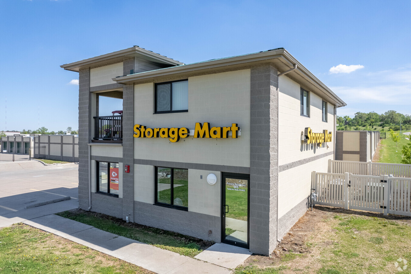
Property Record
9815 Redick Ave, Omaha, NE 68122
NEARBY LISTINGS FOR SALE OR LEASE
-
-
View all Omaha listings for sale on LoopNet.com
Property Detail
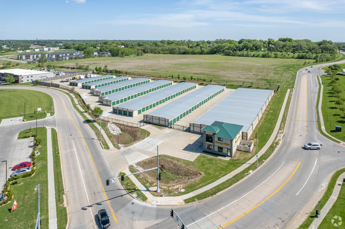
9815 Redick Ave
Omaha-Council Bluffs, NE-IA
Starwood South
4525-0610-22
STARWOOD SOUTH LOT 5 BLOCK 0 IRREG 1.66 AC
Publicstorage
Douglas
X
Nebraska
31055C0204H
5
2023
2.67 AC
2023
Northwest Omaha
007317
Omaha/Council Bluffs
61,994 SF
DEMOGRAPHICS near 9815 Redick Ave
1 Mile
3 Mile
5 Mile
2024 Total Population
10,797
67,117
181,899
2029 Population
10,900
68,065
184,294
Pop Growth 2024-2029
+ 0.95%
+ 1.41%
+ 1.32%
Average Age
35
38
38
2024 Total Households
4,136
27,237
74,200
HH Growth 2024-2029
+ 1.06%
+ 1.45%
+ 1.35%
Median Household Inc
$69,456
$71,115
$70,797
Avg Household Size
2.60
2.40
2.40
2024 Avg HH Vehicles
2.00
2.00
2.00
Median Home Value
$188,868
$187,356
$216,259
Median Year Built
1984
1981
1977
Nearby Places
- Restaurants
- Banks
- Shops
- Fitness
- Groceries
PUBLIC TRANSPORTATION
AIRPORT
Eppley Airfield
DRIVE
WALK
Distance
Eppley Airfield
22 min
11.5 mi
Freight Ports
Tulsa Port Of Catoosa
DRIVE
WALK
Distance
Tulsa Port Of Catoosa
476 min
427.7 mi
Nearby Properties
Address
Land Use
TOTAL SIZE
Lot Size
Zoning
Address
Land Use
TOTAL SIZE
Lot Size
Zoning
465,326 SF
119.20 AC
Address
Land Use
TOTAL SIZE
Lot Size
Zoning
548,510 SF
36.78 AC
Address
Land Use
TOTAL SIZE
Lot Size
Zoning
428,342 SF
18.62 AC
Address
Land Use
TOTAL SIZE
Lot Size
Zoning
420,264 SF
23.97 AC
R6
Address
Land Use
TOTAL SIZE
Lot Size
Zoning
460,264 SF
20.87 AC
Address
Land Use
TOTAL SIZE
Lot Size
Zoning
301,341 SF
15.04 AC
R6
Address
Land Use
TOTAL SIZE
Lot Size
Zoning
288,432 SF
12.98 AC
Address
Land Use
TOTAL SIZE
Lot Size
Zoning
243,750 SF
15.46 AC
Address
Land Use
TOTAL SIZE
Lot Size
Zoning
251,394 SF
14.71 AC
Address
Land Use
TOTAL SIZE
Lot Size
Zoning
255,205 SF
9.41 AC
R6
Address
Land Use
TOTAL SIZE
Lot Size
Zoning
248,169 SF
10.39 AC
Address
Land Use
TOTAL SIZE
Lot Size
Zoning
230,952 SF
8.56 AC
Address
Land Use
TOTAL SIZE
Lot Size
Zoning
264,371 SF
20.18 AC
Address
Land Use
TOTAL SIZE
Lot Size
Zoning
125,945 SF
Address
Land Use
TOTAL SIZE
Lot Size
Zoning
216,823 SF
13.05 AC
Address
Land Use
TOTAL SIZE
Lot Size
Zoning
135,576 SF
6.44 AC
R7
Address
Land Use
TOTAL SIZE
Lot Size
Zoning
143,575 SF
7.58 AC
Address
Land Use
TOTAL SIZE
Lot Size
Zoning
166,080 SF
6.25 AC
R6
Address
Land Use
TOTAL SIZE
Lot Size
Zoning
159,065 SF
8.25 AC
Address
Land Use
TOTAL SIZE
Lot Size
Zoning
173,593 SF
5.70 AC
R6PUD
Address
Land Use
TOTAL SIZE
Lot Size
Zoning
122,276 SF
13.01 AC
Address
Land Use
TOTAL SIZE
Lot Size
Zoning
149,539 SF
7.96 AC
R7
Address
Land Use
TOTAL SIZE
Lot Size
Zoning
229,322 SF
11.68 AC
Address
Land Use
TOTAL SIZE
Lot Size
Zoning
156,276 SF
7.70 AC
R6
Address
Land Use
TOTAL SIZE
Lot Size
Zoning
169,654 SF
8.02 AC
Address
Land Use
TOTAL SIZE
Lot Size
Zoning
230,827 SF
15.11 AC
R6
Address
Land Use
TOTAL SIZE
Lot Size
Zoning
205,996 SF
23.01 AC
LI
Address
Land Use
TOTAL SIZE
Lot Size
Zoning
143,982 SF
6.93 AC
R6
Address
Land Use
TOTAL SIZE
Lot Size
Zoning
105,154 SF
6.46 AC
Address
Land Use
TOTAL SIZE
Lot Size
Zoning
177,016 SF
8.79 AC
R7
The World's #1 Commercial Real Estate Marketplace
Connect with us
© 2025 CoStar Group
The information above has been obtained from sources believed reliable. While we do not doubt its accuracy we have not verified it and make no guarantee, warranty or representation about it. It is your responsibility to independently confirm its accuracy and completeness. Any projections, opinions, assumptions, or estimates used are for example only and do not represent the current or future performance of the property. The value of this transaction to you depends on tax and other factors which should be evaluated by your tax, financial, and legal advisors. You and your advisors should conduct a careful, independent investigation of the property to determine to your satisfaction the suitability of the property for your needs.