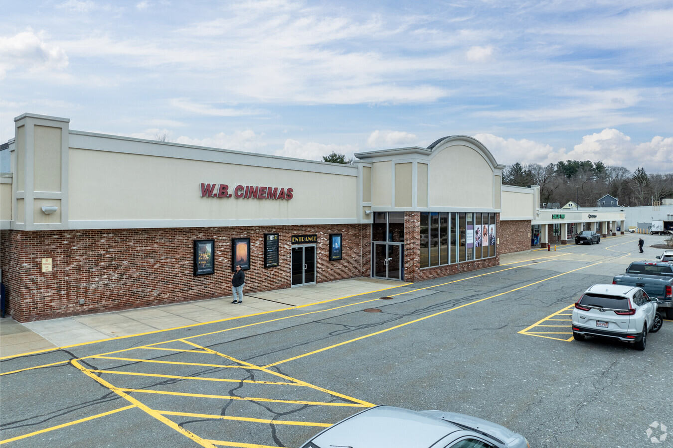
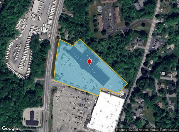
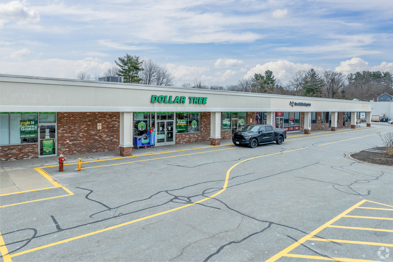
Property Record
99 W Boylston St, West Boylston, MA 01583
Current Lease Availabilities
NEARBY LISTINGS FOR SALE OR LEASE
Property Detail
99 W Boylston St
Regionalshoppingcenterormallwithanchorstore
Worcester
AE
Massachusetts
25027C0606E
5.55 AC
2025
Worcester Metro
2025
Boston
729200
Worcester, MA-CT
52,780 SF
WBOY-000153-000084
DEMOGRAPHICS near 99 W Boylston St
1 Mile
3 Mile
5 Mile
2024 Total Population
2,926
22,231
78,876
2029 Population
2,912
22,063
78,322
Pop Growth 2024-2029
(0.48%)
(0.76%)
(0.70%)
Average Age
44
43
41
2024 Total Households
1,137
8,667
29,961
HH Growth 2024-2029
(0.44%)
(0.77%)
(0.75%)
Median Household Inc
$90,021
$99,073
$93,329
Avg Household Size
2.30
2.40
2.50
2024 Avg HH Vehicles
2.00
2.00
2.00
Median Home Value
$349,283
$369,517
$377,266
Median Year Built
1958
1963
1962
Nearby Places
- Restaurants
- Banks
- Shops
- Fitness
- Groceries
PUBLIC TRANSPORTATION
COMMUTER RAIL
Worcester Union Station (Lake Shore Limited - Amtrak)
DRIVE
WALK
Distance
Worcester Union Station (Lake Shore Limited - Amtrak)
12 min
7.5 mi
Worcester (Framingham/Worcester Line - Massachusetts Bay Transportation Authority Commuter Rail (Purple Line))
DRIVE
WALK
Distance
Worcester (Framingham/Worcester Line - Massachusetts Bay Transportation Authority Commuter Rail (Purple Line))
13 min
7.6 mi
AIRPORT
Worcester Regional
DRIVE
WALK
Distance
Worcester Regional
22 min
12.0 mi
Freight Ports
Port of Boston
DRIVE
WALK
Distance
Port of Boston
69 min
50.4 mi
Nearby Properties
Address
Land Use
TOTAL SIZE
Lot Size
Zoning
Address
Land Use
TOTAL SIZE
Lot Size
Zoning
126,849 SF
15.18 AC
R15
Address
Land Use
TOTAL SIZE
Lot Size
Zoning
24,243 SF
168.59 AC
Address
Land Use
TOTAL SIZE
Lot Size
Zoning
2,340 SF
22.44 AC
RL7
Address
Land Use
TOTAL SIZE
Lot Size
Zoning
83,889 SF
12.47 AC
R20
Address
Land Use
TOTAL SIZE
Lot Size
Zoning
96,541 SF
5.24 AC
MG-5
Address
Land Use
TOTAL SIZE
Lot Size
Zoning
206,734 SF
13.49 AC
RS-7
Address
Land Use
TOTAL SIZE
Lot Size
Zoning
99,584 SF
5.72 AC
RS-7
Address
Land Use
TOTAL SIZE
Lot Size
Zoning
6.88 AC
Address
Land Use
TOTAL SIZE
Lot Size
Zoning
32,844 SF
13.30 AC
Address
Land Use
TOTAL SIZE
Lot Size
Zoning
59,839 SF
17.30 AC
Address
Land Use
TOTAL SIZE
Lot Size
Zoning
251.91 AC
Address
Land Use
TOTAL SIZE
Lot Size
Zoning
160,842 SF
9.76 AC
RS-7
Address
Land Use
TOTAL SIZE
Lot Size
Zoning
13.04 AC
RL-7
Address
Land Use
TOTAL SIZE
Lot Size
Zoning
64,306 SF
6.42 AC
MG-.5
Address
Land Use
TOTAL SIZE
Lot Size
Zoning
102,067 SF
24.17 AC
Address
Land Use
TOTAL SIZE
Lot Size
Zoning
91,857 SF
10.08 AC
MG05
Address
Land Use
TOTAL SIZE
Lot Size
Zoning
80,953 SF
7 AC
BL-1
Address
Land Use
TOTAL SIZE
Lot Size
Zoning
1,529 SF
48.30 AC
Address
Land Use
TOTAL SIZE
Lot Size
Zoning
18,888 SF
10.71 AC
RL-7
Address
Land Use
TOTAL SIZE
Lot Size
Zoning
3,719 SF
106.92 AC
Address
Land Use
TOTAL SIZE
Lot Size
Zoning
147,200 SF
16.07 AC
Address
Land Use
TOTAL SIZE
Lot Size
Zoning
29,940 SF
1.04 AC
BO-1
Address
Land Use
TOTAL SIZE
Lot Size
Zoning
105,125 SF
9 AC
Address
Land Use
TOTAL SIZE
Lot Size
Zoning
2,888 SF
26.29 AC
Address
Land Use
TOTAL SIZE
Lot Size
Zoning
102,300 SF
5.54 AC
MG-.5
Address
Land Use
TOTAL SIZE
Lot Size
Zoning
180,418 SF
14.92 AC
Address
Land Use
TOTAL SIZE
Lot Size
Zoning
93,606 SF
8.40 AC
Address
Land Use
TOTAL SIZE
Lot Size
Zoning
57,006 SF
2.27 AC
ML-.5
Address
Land Use
TOTAL SIZE
Lot Size
Zoning
31,340 SF
1.51 AC
MG-.5
Address
Land Use
TOTAL SIZE
Lot Size
Zoning
37,977 SF
4.58 AC
The World's #1 Commercial Real Estate Marketplace
Connect with us
© 2025 CoStar Group
The information above has been obtained from sources believed reliable. While we do not doubt its accuracy we have not verified it and make no guarantee, warranty or representation about it. It is your responsibility to independently confirm its accuracy and completeness. Any projections, opinions, assumptions, or estimates used are for example only and do not represent the current or future performance of the property. The value of this transaction to you depends on tax and other factors which should be evaluated by your tax, financial, and legal advisors. You and your advisors should conduct a careful, independent investigation of the property to determine to your satisfaction the suitability of the property for your needs.