Property Record
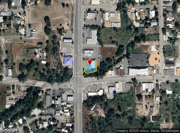
9960 Highway 53, Lower Lake, CA 95457

NEARBY LISTINGS FOR SALE OR LEASE
Property Detail
9960 Highway 53
024-261-310-000
10-6, Parcel Map
Storebuilding
Lake
AE
California
06033C0711D
0.32 AC
2024
California North Rural Area
2024
Other Market Areas
001200
Clearlake, CA
3,080 SF
DEMOGRAPHICS near 9960 Highway 53
1 Mile
3 Mile
5 Mile
2024 Total Population
567
8,354
16,240
2029 Population
558
8,251
16,099
Pop Growth 2024-2029
(1.59%)
(1.23%)
(0.87%)
Average Age
43
40
41
2024 Total Households
225
3,152
6,254
HH Growth 2024-2029
(1.78%)
(1.27%)
(0.85%)
Median Household Inc
$61,750
$46,506
$47,145
Avg Household Size
2.40
2.60
2.50
2024 Avg HH Vehicles
3.00
2.00
2.00
Median Home Value
$555,555
$211,573
$203,933
Median Year Built
1986
1979
1977
Nearby Places
- Restaurants
- Banks
- Shops
- Fitness
- Groceries
PUBLIC TRANSPORTATION
AIRPORT
Charles M Schulz - Sonoma County
DRIVE
WALK
Distance
Charles M Schulz - Sonoma County
79 min
49.4 mi
Freight Ports
Port of Richmond
DRIVE
WALK
Distance
Port of Richmond
135 min
95.4 mi
SALE & LEASE HISTORY
LISTING DATE
SALE/LEASE

Mar 18, 2019
For Sale
Nearby Properties
Address
Land Use
TOTAL SIZE
Lot Size
Zoning
Address
Land Use
TOTAL SIZE
Lot Size
Zoning
10.18 AC
Address
Land Use
TOTAL SIZE
Lot Size
Zoning
103,740 SF
13.56 AC
Address
Land Use
TOTAL SIZE
Lot Size
Zoning
Address
Land Use
TOTAL SIZE
Lot Size
Zoning
4,995 SF
0.60 AC
Address
Land Use
TOTAL SIZE
Lot Size
Zoning
6,000 SF
2.72 AC
C2
Address
Land Use
TOTAL SIZE
Lot Size
Zoning
42,157 SF
1.86 AC
Address
Land Use
TOTAL SIZE
Lot Size
Zoning
405.49 AC
APZ
Address
Land Use
TOTAL SIZE
Lot Size
Zoning
Address
Land Use
TOTAL SIZE
Lot Size
Zoning
1,043 SF
59.73 AC
RL
Address
Land Use
TOTAL SIZE
Lot Size
Zoning
10,080 SF
1.35 AC
Address
Land Use
TOTAL SIZE
Lot Size
Zoning
9,800 SF
3.76 AC
C3
Address
Land Use
TOTAL SIZE
Lot Size
Zoning
1,971 SF
52.97 AC
RR
Address
Land Use
TOTAL SIZE
Lot Size
Zoning
25,956 SF
2.67 AC
Address
Land Use
TOTAL SIZE
Lot Size
Zoning
16,805 SF
0.79 AC
Address
Land Use
TOTAL SIZE
Lot Size
Zoning
7,888 SF
1.20 AC
Address
Land Use
TOTAL SIZE
Lot Size
Zoning
1,400 SF
3.83 AC
Address
Land Use
TOTAL SIZE
Lot Size
Zoning
3,050 SF
1.02 AC
Address
Land Use
TOTAL SIZE
Lot Size
Zoning
2,842 SF
0.94 AC
Address
Land Use
TOTAL SIZE
Lot Size
Zoning
117.64 AC
RL
Address
Land Use
TOTAL SIZE
Lot Size
Zoning
3,093 SF
1 AC
Address
Land Use
TOTAL SIZE
Lot Size
Zoning
119.51 AC
APZ
Address
Land Use
TOTAL SIZE
Lot Size
Zoning
2,952 SF
0.81 AC
C2
Address
Land Use
TOTAL SIZE
Lot Size
Zoning
1,232 SF
0.48 AC
C2
Address
Land Use
TOTAL SIZE
Lot Size
Zoning
5,346 SF
41.67 AC
A
Address
Land Use
TOTAL SIZE
Lot Size
Zoning
6,960 SF
0.62 AC
Address
Land Use
TOTAL SIZE
Lot Size
Zoning
67.59 AC
A
Address
Land Use
TOTAL SIZE
Lot Size
Zoning
Address
Land Use
TOTAL SIZE
Lot Size
Zoning
1,792 SF
0.36 AC
Address
Land Use
TOTAL SIZE
Lot Size
Zoning
21,121 SF
1.02 AC
C2
Address
Land Use
TOTAL SIZE
Lot Size
Zoning
260.17 AC
RL
The World's #1 Commercial Real Estate Marketplace
Connect with us
© 2025 CoStar Group
The information above has been obtained from sources believed reliable. While we do not doubt its accuracy we have not verified it and make no guarantee, warranty or representation about it. It is your responsibility to independently confirm its accuracy and completeness. Any projections, opinions, assumptions, or estimates used are for example only and do not represent the current or future performance of the property. The value of this transaction to you depends on tax and other factors which should be evaluated by your tax, financial, and legal advisors. You and your advisors should conduct a careful, independent investigation of the property to determine to your satisfaction the suitability of the property for your needs.