Property Record
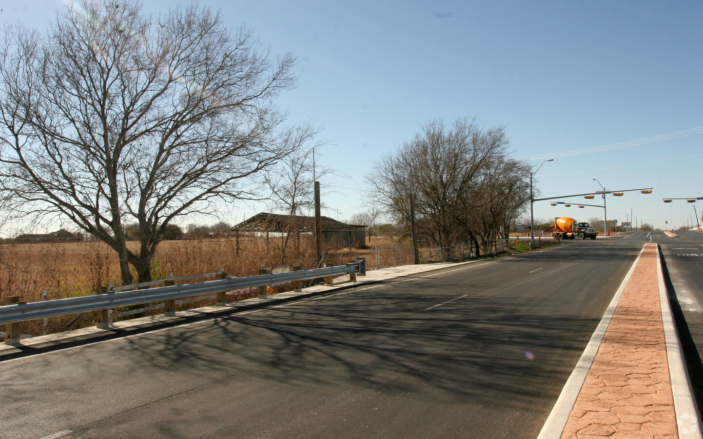
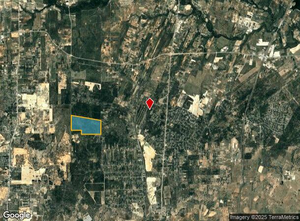
Applewhite Rd, San Antonio, TX 78264

NEARBY LISTINGS FOR SALE OR LEASE
Property Detail
Applewhite Rd
San Antonio-New Braunfels, TX
Conv A/S Code
04013-000-0047
CB 4013 TR-D6 ABS 577
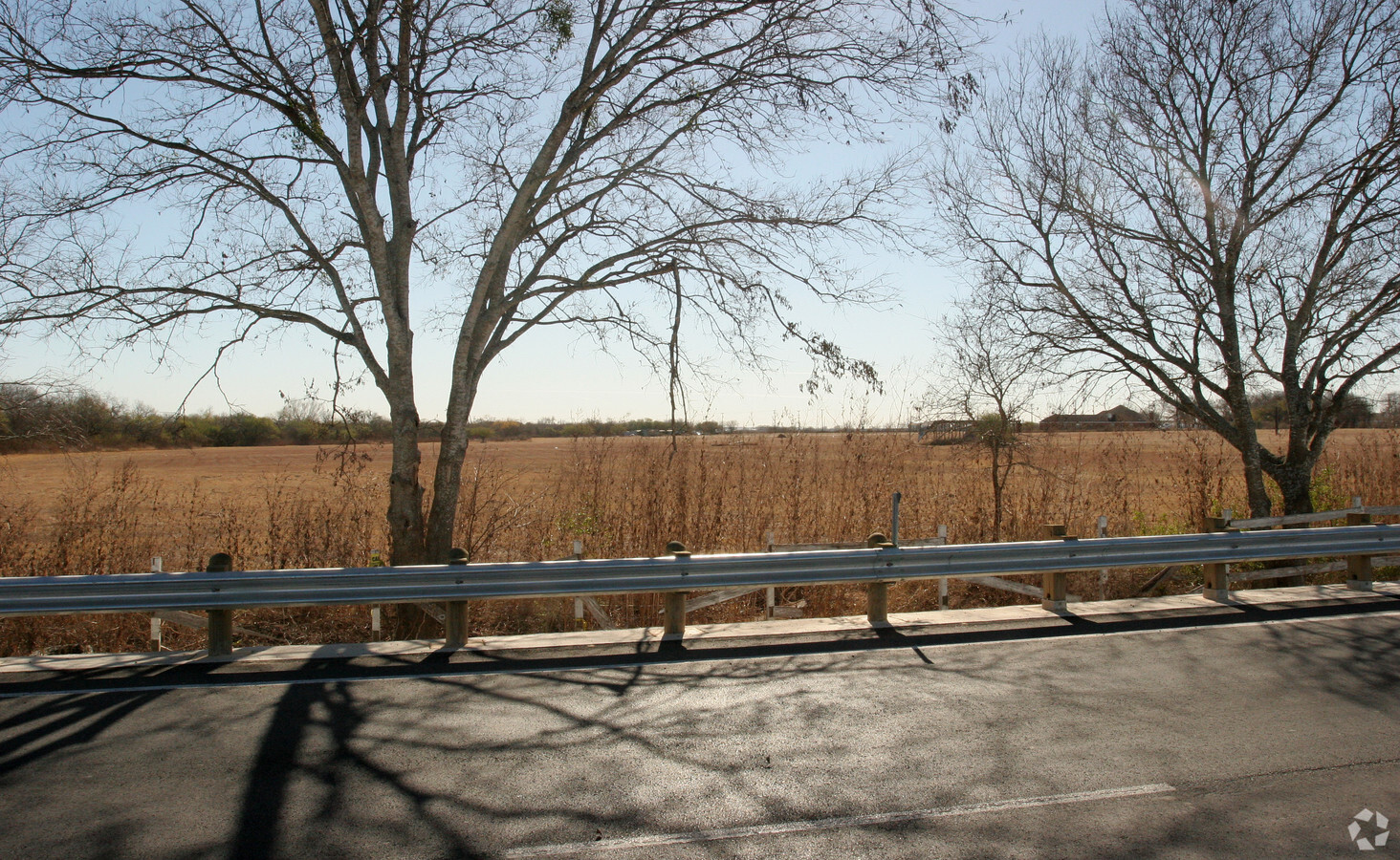
Privatepreserveopenspacevacantlandforestlandconservation
Bexar
A
Texas
48013C0100C
47
2023
500.22 AC
2023
South
152100
San Antonio
DEMOGRAPHICS near Applewhite Rd
1 Mile
3 Mile
5 Mile
2024 Total Population
382
4,107
20,546
2029 Population
405
4,368
22,130
Pop Growth 2024-2029
+ 6.02%
+ 6.36%
+ 7.71%
Average Age
37
37
37
2024 Total Households
115
1,231
6,160
HH Growth 2024-2029
+ 6.09%
+ 6.50%
+ 7.76%
Median Household Inc
$79,619
$69,444
$53,560
Avg Household Size
3.20
3.20
3.20
2024 Avg HH Vehicles
3.00
3.00
2.00
Median Home Value
$135,869
$143,161
$140,403
Median Year Built
1993
1993
1994
Nearby Places
- Restaurants
- Banks
- Shops
- Fitness
- Groceries
PUBLIC TRANSPORTATION
AIRPORT
San Antonio International
DRIVE
WALK
Distance
San Antonio International
41 min
26.5 mi
Freight Ports
Port of Corpus Christi
DRIVE
WALK
Distance
Port of Corpus Christi
138 min
127.8 mi
Nearby Properties
Address
Land Use
TOTAL SIZE
Lot Size
Zoning
Address
Land Use
TOTAL SIZE
Lot Size
Zoning
57,863 SF
36.23 AC
Address
Land Use
TOTAL SIZE
Lot Size
Zoning
5,753,521 SF
709.61 AC
Address
Land Use
TOTAL SIZE
Lot Size
Zoning
80,652 SF
18.26 AC
Address
Land Use
TOTAL SIZE
Lot Size
Zoning
300.90 AC
Address
Land Use
TOTAL SIZE
Lot Size
Zoning
Address
Land Use
TOTAL SIZE
Lot Size
Zoning
1,124 SF
414.76 AC
Address
Land Use
TOTAL SIZE
Lot Size
Zoning
10,440 SF
13.90 AC
Address
Land Use
TOTAL SIZE
Lot Size
Zoning
43.73 AC
Address
Land Use
TOTAL SIZE
Lot Size
Zoning
203.51 AC
Address
Land Use
TOTAL SIZE
Lot Size
Zoning
363.64 AC
Address
Land Use
TOTAL SIZE
Lot Size
Zoning
198.25 AC
Address
Land Use
TOTAL SIZE
Lot Size
Zoning
221.72 AC
Address
Land Use
TOTAL SIZE
Lot Size
Zoning
271.41 AC
Address
Land Use
TOTAL SIZE
Lot Size
Zoning
181.82 AC
Address
Land Use
TOTAL SIZE
Lot Size
Zoning
146.83 AC
Address
Land Use
TOTAL SIZE
Lot Size
Zoning
420 SF
150 AC
Address
Land Use
TOTAL SIZE
Lot Size
Zoning
368 SF
10.78 AC
Address
Land Use
TOTAL SIZE
Lot Size
Zoning
99.64 AC
Address
Land Use
TOTAL SIZE
Lot Size
Zoning
99.64 AC
Address
Land Use
TOTAL SIZE
Lot Size
Zoning
29,400 SF
1.38 AC
Address
Land Use
TOTAL SIZE
Lot Size
Zoning
179.87 AC
Address
Land Use
TOTAL SIZE
Lot Size
Zoning
224.15 AC
Address
Land Use
TOTAL SIZE
Lot Size
Zoning
165.13 AC
Address
Land Use
TOTAL SIZE
Lot Size
Zoning
143.57 AC
Address
Land Use
TOTAL SIZE
Lot Size
Zoning
37.17 AC
Address
Land Use
TOTAL SIZE
Lot Size
Zoning
8,296 SF
10 AC
Address
Land Use
TOTAL SIZE
Lot Size
Zoning
29.60 AC
Address
Land Use
TOTAL SIZE
Lot Size
Zoning
154.57 AC
Address
Land Use
TOTAL SIZE
Lot Size
Zoning
9,100 SF
1.83 AC
The World's #1 Commercial Real Estate Marketplace
Connect with us
© 2025 CoStar Group
The information above has been obtained from sources believed reliable. While we do not doubt its accuracy we have not verified it and make no guarantee, warranty or representation about it. It is your responsibility to independently confirm its accuracy and completeness. Any projections, opinions, assumptions, or estimates used are for example only and do not represent the current or future performance of the property. The value of this transaction to you depends on tax and other factors which should be evaluated by your tax, financial, and legal advisors. You and your advisors should conduct a careful, independent investigation of the property to determine to your satisfaction the suitability of the property for your needs.