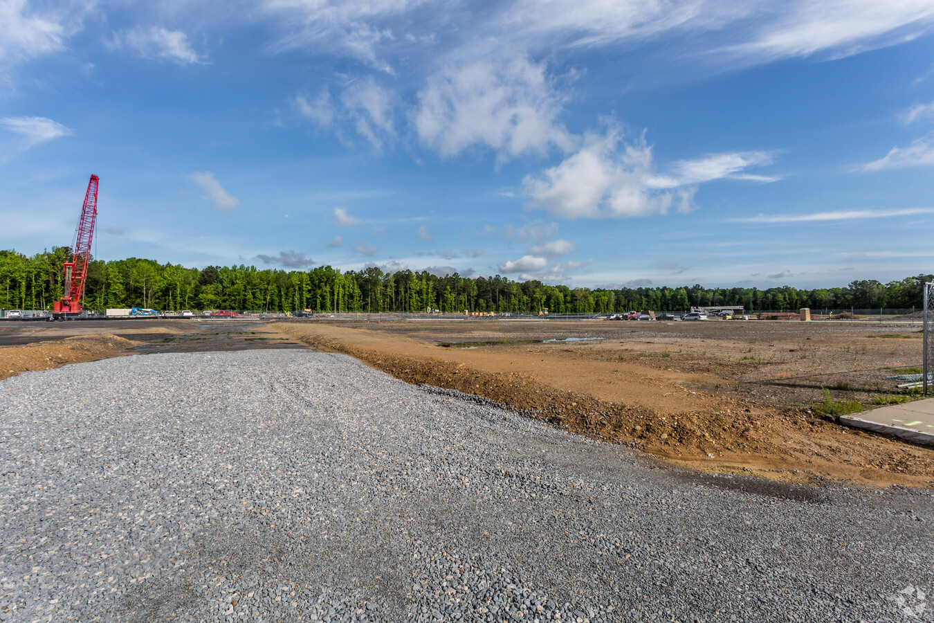
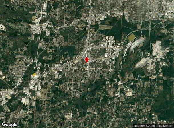
Property Record
Bass Pro Dr, Little Rock, AR 72209
NEARBY LISTINGS FOR SALE OR LEASE
Property Detail
Bass Pro Dr
Little Rock-North Little Rock-Conway, AR
PART OF LOT 1 AND PART SW SECTION 4-1S-13 MPDA COM AT THE SW COR NW SW THENCE S89?35'55"E ALONG SOUTH LINE THEREOF 464.77' TO THE POB TH N04'09'52"E788.16' N21'13'44"E737.77' S68'37'57"E307.86' TH EASTERLY ALONG SAID LINE 189.23' ALONG A CUR
45L-048-00-058-02
Pulaski
Commercialnec
Arkansas
AE
1
05125C0250E
8.98 AC
2023
Outlying Pulaski County
2023
Little Rock/N Little Rock
004103
DEMOGRAPHICS near Bass Pro Dr
1 Mile
3 Mile
5 Mile
2024 Total Population
1,691
25,706
78,780
2029 Population
1,640
25,955
80,463
Pop Growth 2024-2029
(3.02%)
+ 0.97%
+ 2.14%
Average Age
39
37
37
2024 Total Households
709
10,257
30,661
HH Growth 2024-2029
(3.10%)
+ 0.81%
+ 2.01%
Median Household Inc
$55,749
$51,146
$53,396
Avg Household Size
2.30
2.50
2.50
2024 Avg HH Vehicles
2.00
2.00
2.00
Median Home Value
$162,787
$151,471
$148,194
Median Year Built
2001
1992
1985
Nearby Places
- Restaurants
- Banks
- Shops
- Fitness
- Groceries
PUBLIC TRANSPORTATION
COMMUTER RAIL
Little Rock Union Station (Texas Eagle - Amtrak)
DRIVE
WALK
Distance
Little Rock Union Station (Texas Eagle - Amtrak)
14 min
9.6 mi
AIRPORT
Bill and Hillary Clinton Ntl/Adams Field
DRIVE
WALK
Distance
Bill and Hillary Clinton Ntl/Adams Field
13 min
9.4 mi
Freight Ports
Port of Shreveport
DRIVE
WALK
Distance
Port of Shreveport
242 min
226.5 mi
Nearby Properties
Address
Land Use
TOTAL SIZE
Lot Size
Zoning
Address
Land Use
TOTAL SIZE
Lot Size
Zoning
400,000 SF
57.75 AC
Address
Land Use
TOTAL SIZE
Lot Size
Zoning
79,751 SF
28.57 AC
Address
Land Use
TOTAL SIZE
Lot Size
Zoning
239,345 SF
19.70 AC
Address
Land Use
TOTAL SIZE
Lot Size
Zoning
34,925 SF
12.59 AC
Address
Land Use
TOTAL SIZE
Lot Size
Zoning
41,652 SF
10.86 AC
Address
Land Use
TOTAL SIZE
Lot Size
Zoning
50,433 SF
22.23 AC
Address
Land Use
TOTAL SIZE
Lot Size
Zoning
201,499 SF
17.80 AC
Address
Land Use
TOTAL SIZE
Lot Size
Zoning
139,410 SF
8.35 AC
Address
Land Use
TOTAL SIZE
Lot Size
Zoning
21,147 SF
10.92 AC
Address
Land Use
TOTAL SIZE
Lot Size
Zoning
6,161 SF
40.08 AC
Address
Land Use
TOTAL SIZE
Lot Size
Zoning
154,829 SF
15.40 AC
Address
Land Use
TOTAL SIZE
Lot Size
Zoning
33,216 SF
12.59 AC
Address
Land Use
TOTAL SIZE
Lot Size
Zoning
35,069 SF
43.11 AC
Address
Land Use
TOTAL SIZE
Lot Size
Zoning
11,252 SF
2.69 AC
Address
Land Use
TOTAL SIZE
Lot Size
Zoning
77,173 SF
10.28 AC
Address
Land Use
TOTAL SIZE
Lot Size
Zoning
58,332 SF
17.80 AC
Address
Land Use
TOTAL SIZE
Lot Size
Zoning
272,996 SF
22.27 AC
Address
Land Use
TOTAL SIZE
Lot Size
Zoning
310,000 SF
13.21 AC
Address
Land Use
TOTAL SIZE
Lot Size
Zoning
85,458 SF
9.86 AC
Address
Land Use
TOTAL SIZE
Lot Size
Zoning
10,629 SF
12 AC
Address
Land Use
TOTAL SIZE
Lot Size
Zoning
62,326 SF
9.11 AC
Address
Land Use
TOTAL SIZE
Lot Size
Zoning
573,416 SF
57.83 AC
Address
Land Use
TOTAL SIZE
Lot Size
Zoning
85,858 SF
2.62 AC
Address
Land Use
TOTAL SIZE
Lot Size
Zoning
44,567 SF
9.58 AC
Address
Land Use
TOTAL SIZE
Lot Size
Zoning
16,200 SF
7.46 AC
Address
Land Use
TOTAL SIZE
Lot Size
Zoning
2,881 SF
14.04 AC
Address
Land Use
TOTAL SIZE
Lot Size
Zoning
58,156 SF
4.35 AC
Address
Land Use
TOTAL SIZE
Lot Size
Zoning
1,233 SF
6.19 AC
Address
Land Use
TOTAL SIZE
Lot Size
Zoning
38,640 SF
11.48 AC
Address
Land Use
TOTAL SIZE
Lot Size
Zoning
4,407 SF
8.88 AC
The World's #1 Commercial Real Estate Marketplace
Connect with us
© 2025 CoStar Group
The information above has been obtained from sources believed reliable. While we do not doubt its accuracy we have not verified it and make no guarantee, warranty or representation about it. It is your responsibility to independently confirm its accuracy and completeness. Any projections, opinions, assumptions, or estimates used are for example only and do not represent the current or future performance of the property. The value of this transaction to you depends on tax and other factors which should be evaluated by your tax, financial, and legal advisors. You and your advisors should conduct a careful, independent investigation of the property to determine to your satisfaction the suitability of the property for your needs.