Property Record
Buckingham Rd, Fort Myers, FL 33905

NEARBY LISTINGS FOR SALE OR LEASE
Property Detail
Buckingham Rd
Cape Coral-Fort Myers, FL
East Ft Myers 12-44-25
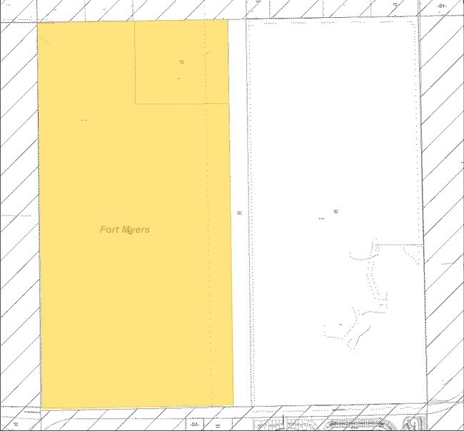
24-44-25-P1-00001.1000
W 1/2 OF SEC 24 TWN 44 R 25
Vacantlandnec
Lee
X
Florida
12071C0295G
100
0
328.57 AC
2025
City of Ft Myers
040123
Southwest Florida
DEMOGRAPHICS near Buckingham Rd
1 Mile
3 Mile
5 Mile
2024 Total Population
1,164
31,976
120,880
2029 Population
1,377
37,914
143,919
Pop Growth 2024-2029
+ 18.30%
+ 18.57%
+ 19.06%
Average Age
37
42
40
2024 Total Households
383
11,230
44,687
HH Growth 2024-2029
+ 17.75%
+ 18.98%
+ 19.14%
Median Household Inc
$85,096
$74,133
$64,429
Avg Household Size
2.90
2.50
2.50
2024 Avg HH Vehicles
2.00
2.00
2.00
Median Home Value
$258,181
$287,035
$280,691
Median Year Built
2005
2006
2004
Nearby Places
Map Layers
Map Styles
 Street
 Aerial
- Restaurants
- Banks
- Shops
- Fitness
- Groceries
PUBLIC TRANSPORTATION
AIRPORT
Southwest Florida International
DRIVE
WALK
Distance
Southwest Florida International
20 min
8.9 mi
Punta Gorda
DRIVE
WALK
Distance
Punta Gorda
39 min
28.4 mi
Freight Ports
Port Manatee
DRIVE
WALK
Distance
Port Manatee
118 min
100.1 mi
Nearby Properties
Address
Land Use
TOTAL SIZE
Lot Size
Zoning
Address
Land Use
TOTAL SIZE
Lot Size
Zoning
77.79 AC
PUD
Address
Land Use
TOTAL SIZE
Lot Size
Zoning
438,839 SF
66.95 AC
MU
Address
Land Use
TOTAL SIZE
Lot Size
Zoning
362,391 SF
12.80 AC
SDA
Address
Land Use
TOTAL SIZE
Lot Size
Zoning
475,045 SF
30.22 AC
PUD
Address
Land Use
TOTAL SIZE
Lot Size
Zoning
24.69 AC
C-1
Address
Land Use
TOTAL SIZE
Lot Size
Zoning
432,890 SF
18.88 AC
SDA
Address
Land Use
TOTAL SIZE
Lot Size
Zoning
286,629 SF
13.01 AC
SDA
Address
Land Use
TOTAL SIZE
Lot Size
Zoning
111.70 AC
C1
Address
Land Use
TOTAL SIZE
Lot Size
Zoning
580,121 SF
61.83 AC
IL
Address
Land Use
TOTAL SIZE
Lot Size
Zoning
324,346 SF
20 AC
C1
Address
Land Use
TOTAL SIZE
Lot Size
Zoning
9.07 AC
SDA
Address
Land Use
TOTAL SIZE
Lot Size
Zoning
17.50 AC
C1
Address
Land Use
TOTAL SIZE
Lot Size
Zoning
260,320 SF
8.81 AC
SDA
Address
Land Use
TOTAL SIZE
Lot Size
Zoning
320,566 SF
500.70 AC
AG-2
Address
Land Use
TOTAL SIZE
Lot Size
Zoning
333,614 SF
294.30 AC
AG-2
Address
Land Use
TOTAL SIZE
Lot Size
Zoning
6.99 AC
C-1
Address
Land Use
TOTAL SIZE
Lot Size
Zoning
288,358 SF
23.15 AC
CG
Address
Land Use
TOTAL SIZE
Lot Size
Zoning
6.38 AC
SDA
Address
Land Use
TOTAL SIZE
Lot Size
Zoning
67.46 AC
C1
Address
Land Use
TOTAL SIZE
Lot Size
Zoning
154,653 SF
11.77 AC
SDA
Address
Land Use
TOTAL SIZE
Lot Size
Zoning
230,967 SF
8.31 AC
SDA
Address
Land Use
TOTAL SIZE
Lot Size
Zoning
482,282 SF
20 AC
CG
Address
Land Use
TOTAL SIZE
Lot Size
Zoning
231,360 SF
17.08 AC
PUD
Address
Land Use
TOTAL SIZE
Lot Size
Zoning
45,040 SF
14.03 AC
CG
Address
Land Use
TOTAL SIZE
Lot Size
Zoning
68.11 AC
PUD
Address
Land Use
TOTAL SIZE
Lot Size
Zoning
291,613 SF
40.32 AC
RPD
Address
Land Use
TOTAL SIZE
Lot Size
Zoning
123,378 SF
13.59 AC
SDA
Address
Land Use
TOTAL SIZE
Lot Size
Zoning
127,637 SF
6.50 AC
SDA
Address
Land Use
TOTAL SIZE
Lot Size
Zoning
75,477 SF
13.12 AC
SDA
Address
Land Use
TOTAL SIZE
Lot Size
Zoning
72,819 SF
7.97 AC
SDA
The World's #1 Commercial Real Estate Marketplace
Connect with us
© 2026 CoStar Group
The information above has been obtained from sources believed reliable. While we do not doubt its accuracy we have not verified it and make no guarantee, warranty or representation about it. It is your responsibility to independently confirm its accuracy and completeness. Any projections, opinions, assumptions, or estimates used are for example only and do not represent the current or future performance of the property. The value of this transaction to you depends on tax and other factors which should be evaluated by your tax, financial, and legal advisors. You and your advisors should conduct a careful, independent investigation of the property to determine to your satisfaction the suitability of the property for your needs.