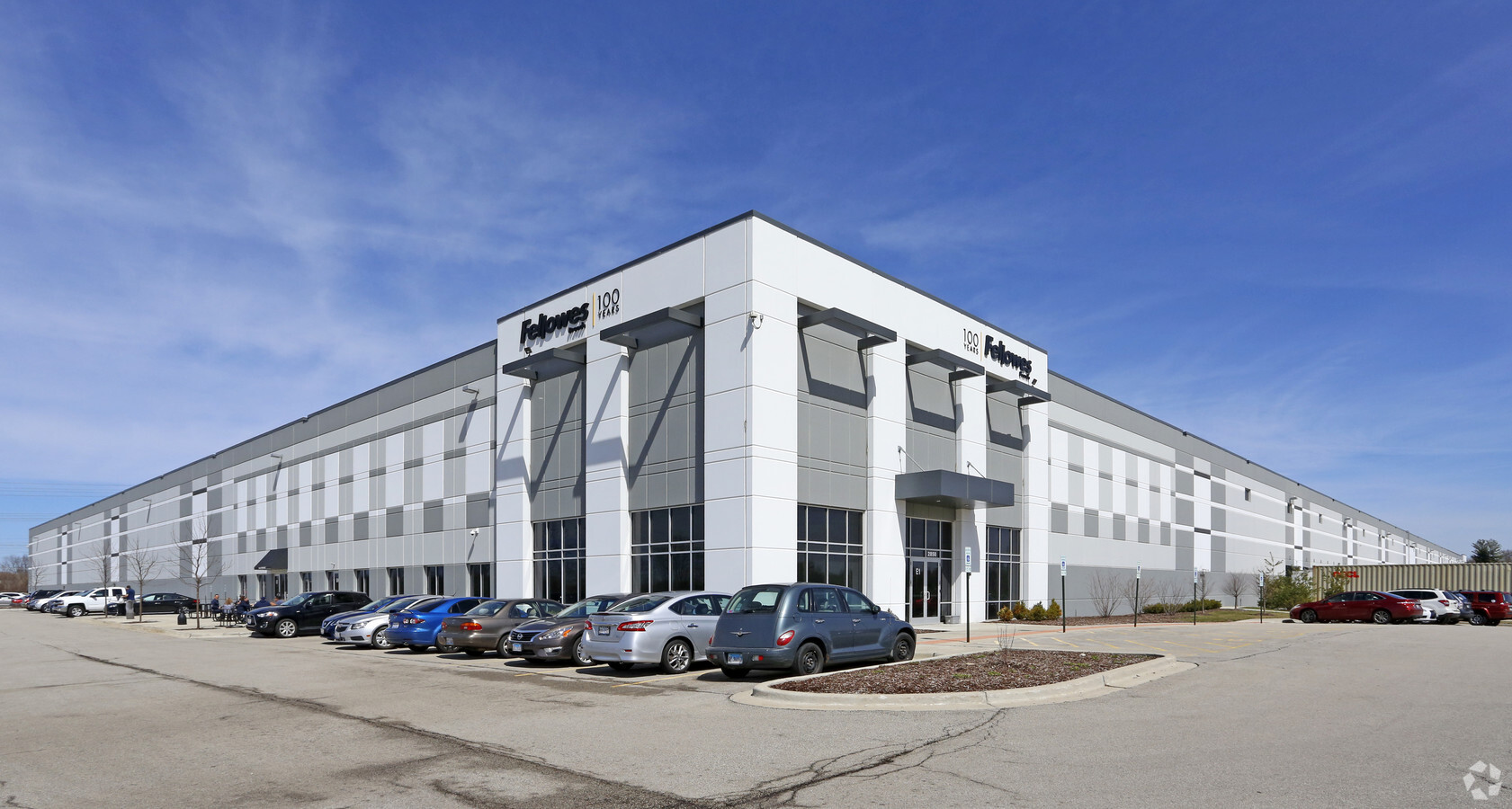
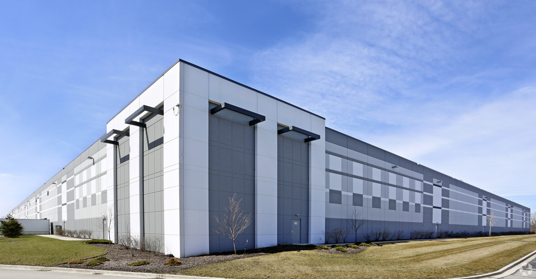
Property Record
Duke Pkwy, Warrenville, IL 60555
NEARBY LISTINGS FOR SALE OR LEASE
Property Detail
Duke Pkwy
Chicago-Naperville-Elgin, IL-IN-WI
Butterfield East Unit Three Sub
04-33-301-014
BUTTERFIELD EAST UNIT THREE SUB ALL
Industrialgeneral
DuPage
X
Illinois
17043C0129J
23.45 AC
2023
I-88 West
2023
Chicago
841603
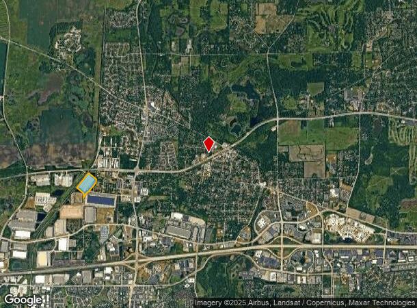
DEMOGRAPHICS near Duke Pkwy
1 Mile
3 Mile
5 Mile
2024 Total Population
4,141
41,595
156,233
2029 Population
4,013
40,527
153,841
Pop Growth 2024-2029
(3.09%)
(2.57%)
(1.53%)
Average Age
40
39
39
2024 Total Households
1,549
16,363
58,630
HH Growth 2024-2029
(2.45%)
(2.52%)
(1.53%)
Median Household Inc
$91,536
$103,094
$103,326
Avg Household Size
2.60
2.50
2.60
2024 Avg HH Vehicles
2.00
2.00
2.00
Median Home Value
$240,974
$310,703
$336,449
Median Year Built
1976
1988
1987
Nearby Places
- Restaurants
- Banks
- Shops
- Fitness
- Groceries
PUBLIC TRANSPORTATION
COMMUTER RAIL
Route 59 Station (Burlington Northern-Santa Fe Railway Line - Northeast Illinois Regional Commuter Railroad (Metra))
DRIVE
WALK
Distance
Route 59 Station (Burlington Northern-Santa Fe Railway Line - Northeast Illinois Regional Commuter Railroad (Metra))
8 min
4.3 mi
Winfield Station (Union Pacific West Line - Northeast Illinois Regional Commuter Railroad (Metra))
DRIVE
WALK
Distance
Winfield Station (Union Pacific West Line - Northeast Illinois Regional Commuter Railroad (Metra))
8 min
4.3 mi
AIRPORT
Chicago Midway International
DRIVE
WALK
Distance
Chicago Midway International
44 min
28.9 mi
Chicago O'Hare International
DRIVE
WALK
Distance
Chicago O'Hare International
43 min
29.8 mi
Freight Ports
Port Milwaukee
DRIVE
WALK
Distance
Port Milwaukee
124 min
101.5 mi
Nearby Properties
Address
Land Use
TOTAL SIZE
Lot Size
Zoning
Address
Land Use
TOTAL SIZE
Lot Size
Zoning
47.26 AC
Address
Land Use
TOTAL SIZE
Lot Size
Zoning
Address
Land Use
TOTAL SIZE
Lot Size
Zoning
31.66 AC
C
Address
Land Use
TOTAL SIZE
Lot Size
Zoning
797,399 SF
52.38 AC
C
Address
Land Use
TOTAL SIZE
Lot Size
Zoning
17.59 AC
Address
Land Use
TOTAL SIZE
Lot Size
Zoning
272,400 SF
20.94 AC
C
Address
Land Use
TOTAL SIZE
Lot Size
Zoning
25 AC
M
Address
Land Use
TOTAL SIZE
Lot Size
Zoning
266,118 SF
21.65 AC
C
Address
Land Use
TOTAL SIZE
Lot Size
Zoning
721,600 SF
34.74 AC
I
Address
Land Use
TOTAL SIZE
Lot Size
Zoning
16.26 AC
C
Address
Land Use
TOTAL SIZE
Lot Size
Zoning
16.15 AC
M
Address
Land Use
TOTAL SIZE
Lot Size
Zoning
1,059,897 SF
122.10 AC
C
Address
Land Use
TOTAL SIZE
Lot Size
Zoning
15.61 AC
M
Address
Land Use
TOTAL SIZE
Lot Size
Zoning
Address
Land Use
TOTAL SIZE
Lot Size
Zoning
27.67 AC
Address
Land Use
TOTAL SIZE
Lot Size
Zoning
289,890 SF
21.27 AC
C
Address
Land Use
TOTAL SIZE
Lot Size
Zoning
5.43 AC
Address
Land Use
TOTAL SIZE
Lot Size
Zoning
649,717 SF
27.79 AC
I
Address
Land Use
TOTAL SIZE
Lot Size
Zoning
31.08 AC
Address
Land Use
TOTAL SIZE
Lot Size
Zoning
12.70 AC
Address
Land Use
TOTAL SIZE
Lot Size
Zoning
6.59 AC
Address
Land Use
TOTAL SIZE
Lot Size
Zoning
522,457 SF
29.33 AC
I
Address
Land Use
TOTAL SIZE
Lot Size
Zoning
707,333 SF
63.75 AC
Address
Land Use
TOTAL SIZE
Lot Size
Zoning
479,470 SF
24.67 AC
I
Address
Land Use
TOTAL SIZE
Lot Size
Zoning
11.36 AC
C
Address
Land Use
TOTAL SIZE
Lot Size
Zoning
Address
Land Use
TOTAL SIZE
Lot Size
Zoning
242,748 SF
11.65 AC
R
Address
Land Use
TOTAL SIZE
Lot Size
Zoning
46.10 AC
Address
Land Use
TOTAL SIZE
Lot Size
Zoning
188,147 SF
7.25 AC
C
The World's #1 Commercial Real Estate Marketplace
Connect with us
© 2025 CoStar Group
The information above has been obtained from sources believed reliable. While we do not doubt its accuracy we have not verified it and make no guarantee, warranty or representation about it. It is your responsibility to independently confirm its accuracy and completeness. Any projections, opinions, assumptions, or estimates used are for example only and do not represent the current or future performance of the property. The value of this transaction to you depends on tax and other factors which should be evaluated by your tax, financial, and legal advisors. You and your advisors should conduct a careful, independent investigation of the property to determine to your satisfaction the suitability of the property for your needs.