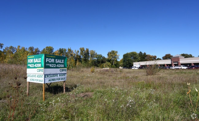
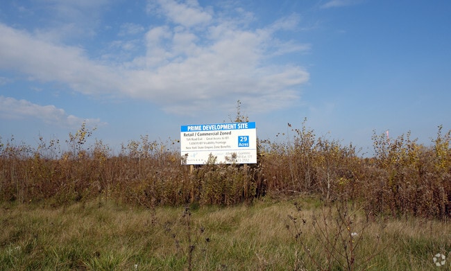
Property Record
E Taft Rd, Syracuse, NY 13212

Property Detail
E Taft Rd
Syracuse, NY
ONONDAGA
312201-018-000-0006-002-001-0000
New York
Commercialacreage
2.001
B and X Area of moderate flood hazard, usually the area between the limits of the 100-year and 500-year floods.
5.06 AC
2025
SE Outer Onondaga County
2024
Syracuse
010800
NEARBY LISTINGS FOR SALE OR LEASE
DEMOGRAPHICS near E Taft Rd
1 mile
3 mile
5 mile
2024 Total Population
5,663
39,322
134,489
2029 Population
5,551
38,619
132,260
Pop Growth 2024-2029
(1.98%)
(1.79%)
(1.66%)
Average Age
43
43
41
2024 Total Households
2,644
16,798
57,516
HH Growth 2024-2029
(2.12%)
(1.92%)
(1.72%)
Median Household Inc
$73,270
$78,681
$69,339
Avg Household Size
2.10
2.30
2.20
2024 Avg HH Vehicles
2.00
2.00
2.00
Median Home Value
$168,469
$172,408
$170,703
Median Year Built
1956
1962
1959
Nearby Places
Map Layers
Map Styles
 Street
 Aerial
Transit
 Traffic
 Biking
Places
Listings with unknown addresses are not visible on the map
- Restaurants
- Banks
- Shops
- Fitness
- Groceries
PUBLIC TRANSPORTATION
COMMUTER RAIL
Syracuse Regional Transportation Center (Empire Service - Amtrak, Lake Shore Limited - Amtrak, Maple Leaf - Amtrak)
Drive
Walk
Distance
Syracuse Regional Transportation Center (Empire Service - Amtrak, Lake Shore Limited - Amtrak, Maple Leaf - Amtrak)
10 min
5.9 mi
AIRPORT
Syracuse Hancock International
Drive
Walk
Distance
Syracuse Hancock International
7 min
3.0 mi
Freight Ports
Albany, NY Port
Drive
Walk
Distance
Albany, NY Port
173 min
145.3 mi
SALE & LEASE HISTORY
LISTING DATE
SALE/LEASE

Sep 24, 2016
For Sale
Oct 10, 2018
For Lease
Nearby Properties
Address
Land Use
TOTAL SIZE
Lot Size
Zoning
Address
Land Use
TOTAL SIZE
Lot Size
Zoning
439,670 SF
74.73 AC
C-G
Address
Land Use
TOTAL SIZE
Lot Size
Zoning
432,246 SF
37.21 AC
05 - COMME
Address
Land Use
TOTAL SIZE
Lot Size
Zoning
22.16 AC
06 - INDUS
Address
Land Use
TOTAL SIZE
Lot Size
Zoning
157,010 SF
36.98 AC
Address
Land Use
TOTAL SIZE
Lot Size
Zoning
11,484 SF
16.36 AC
03 - MULTI
Address
Land Use
TOTAL SIZE
Lot Size
Zoning
110,105 SF
26.68 AC
06 - INDUS
Address
Land Use
TOTAL SIZE
Lot Size
Zoning
218,439 SF
18.85 AC
Address
Land Use
TOTAL SIZE
Lot Size
Zoning
2,025 SF
267.94 AC
06 - INDUS
Address
Land Use
TOTAL SIZE
Lot Size
Zoning
246,172 SF
16.65 AC
Address
Land Use
TOTAL SIZE
Lot Size
Zoning
32,840 SF
26.60 AC
05 - COMME
Address
Land Use
TOTAL SIZE
Lot Size
Zoning
203,345 SF
18.17 AC
Address
Land Use
TOTAL SIZE
Lot Size
Zoning
84,048 SF
19.42 AC
Address
Land Use
TOTAL SIZE
Lot Size
Zoning
169,511 SF
4.25 AC
01 - NOT Z
Address
Land Use
TOTAL SIZE
Lot Size
Zoning
206,807 SF
46 AC
06 - INDUS
Address
Land Use
TOTAL SIZE
Lot Size
Zoning
125,400 SF
18.11 AC
GC
Address
Land Use
TOTAL SIZE
Lot Size
Zoning
125,684 SF
25.61 AC
06 - INDUS
Address
Land Use
TOTAL SIZE
Lot Size
Zoning
3.59 AC
04 - FARM
Address
Land Use
TOTAL SIZE
Lot Size
Zoning
120,068 SF
9.26 AC
GCPLUS
Address
Land Use
TOTAL SIZE
Lot Size
Zoning
141,472 SF
12.38 AC
C-G
Address
Land Use
TOTAL SIZE
Lot Size
Zoning
92,844 SF
14.26 AC
C-G
Address
Land Use
TOTAL SIZE
Lot Size
Zoning
296.49 AC
06 - INDUS
Address
Land Use
TOTAL SIZE
Lot Size
Zoning
103,005 SF
12.58 AC
Address
Land Use
TOTAL SIZE
Lot Size
Zoning
27,044 SF
25.20 AC
C-G
Address
Land Use
TOTAL SIZE
Lot Size
Zoning
257,680 SF
10.22 AC
06 - INDUS
Address
Land Use
TOTAL SIZE
Lot Size
Zoning
63,140 SF
25.52 AC
Address
Land Use
TOTAL SIZE
Lot Size
Zoning
33,180 SF
23.85 AC
GCPLUS
Address
Land Use
TOTAL SIZE
Lot Size
Zoning
81,439 SF
15.48 AC
Address
Land Use
TOTAL SIZE
Lot Size
Zoning
109,642 SF
22.17 AC
06 - INDUS
Address
Land Use
TOTAL SIZE
Lot Size
Zoning
96,084 SF
8.74 AC
06 - INDUS
The World's #1 Commercial Real Estate Marketplace
Connect with us
© 2026 CoStar Group
The information above has been obtained from sources believed reliable. While we do not doubt its accuracy we have not verified it and make no guarantee, warranty or representation about it. It is your responsibility to independently confirm its accuracy and completeness. Any projections, opinions, assumptions, or estimates used are for example only and do not represent the current or future performance of the property. The value of this transaction to you depends on tax and other factors which should be evaluated by your tax, financial, and legal advisors. You and your advisors should conduct a careful, independent investigation of the property to determine to your satisfaction the suitability of the property for your needs.