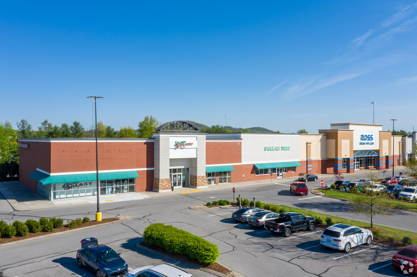
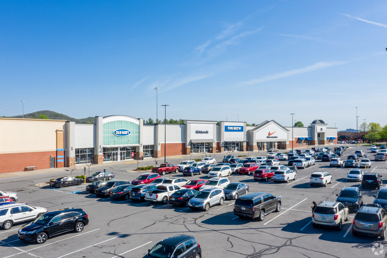
Property Record
Galleria Blvd, Brentwood, TN 37027
NEARBY LISTINGS FOR SALE OR LEASE
Property Detail
Galleria Blvd
Nashville-Davidson--Murfreesboro--Franklin, TN
Brentwood Park
053D-A-001.00-000
SUBD BRENTWOOD PARK I-65 PARK PB 26 PG 30 LOT 0003 SUBD RESUB
Commercialnec
Williamson
X
Tennessee
47187C0208F
0003
2024
18.52 AC
2024
Brentwood
050306
Nashville
187,881 SF
DEMOGRAPHICS near Galleria Blvd
1 Mile
3 Mile
5 Mile
2024 Total Population
3,787
33,890
98,381
2029 Population
4,292
38,840
112,175
Pop Growth 2024-2029
+ 13.34%
+ 14.61%
+ 14.02%
Average Age
41
41
41
2024 Total Households
1,544
13,986
37,280
HH Growth 2024-2029
+ 13.41%
+ 15.01%
+ 14.29%
Median Household Inc
$96,605
$109,456
$120,840
Avg Household Size
2.40
2.40
2.60
2024 Avg HH Vehicles
2.00
2.00
2.00
Median Home Value
$616,749
$689,833
$662,682
Median Year Built
1984
1998
1996
Nearby Places
- Restaurants
- Banks
- Shops
- Fitness
- Groceries
PUBLIC TRANSPORTATION
AIRPORT
Nashville International
DRIVE
WALK
Distance
Nashville International
26 min
16.7 mi
Freight Ports
Port of Mobile
DRIVE
WALK
Distance
Port of Mobile
469 min
431.3 mi
SALE & LEASE HISTORY
LISTING DATE
SALE/LEASE

Sep 25, 2016
For Lease
Aug 20, 2020
For Lease
Nearby Properties
Address
Land Use
TOTAL SIZE
Lot Size
Zoning
Address
Land Use
TOTAL SIZE
Lot Size
Zoning
968,734 SF
50.12 AC
Address
Land Use
TOTAL SIZE
Lot Size
Zoning
54,218 SF
43.42 AC
Address
Land Use
TOTAL SIZE
Lot Size
Zoning
534,414 SF
45.07 AC
Address
Land Use
TOTAL SIZE
Lot Size
Zoning
621,487 SF
5.22 AC
Address
Land Use
TOTAL SIZE
Lot Size
Zoning
2,025,000 SF
6.24 AC
Address
Land Use
TOTAL SIZE
Lot Size
Zoning
608,130 SF
31.50 AC
Address
Land Use
TOTAL SIZE
Lot Size
Zoning
645,388 SF
60.30 AC
Address
Land Use
TOTAL SIZE
Lot Size
Zoning
510,452 SF
32.21 AC
Address
Land Use
TOTAL SIZE
Lot Size
Zoning
742,974 SF
48.30 AC
Address
Land Use
TOTAL SIZE
Lot Size
Zoning
290,100 SF
7.02 AC
Address
Land Use
TOTAL SIZE
Lot Size
Zoning
666,185 SF
5.21 AC
Address
Land Use
TOTAL SIZE
Lot Size
Zoning
614,370 SF
9.59 AC
Address
Land Use
TOTAL SIZE
Lot Size
Zoning
594,489 SF
6.18 AC
Address
Land Use
TOTAL SIZE
Lot Size
Zoning
416,140 SF
26.01 AC
Address
Land Use
TOTAL SIZE
Lot Size
Zoning
278,442 SF
20 AC
Address
Land Use
TOTAL SIZE
Lot Size
Zoning
215,158 SF
4.17 AC
Address
Land Use
TOTAL SIZE
Lot Size
Zoning
391,350 SF
10.41 AC
Address
Land Use
TOTAL SIZE
Lot Size
Zoning
424,987 SF
28.23 AC
Address
Land Use
TOTAL SIZE
Lot Size
Zoning
279,457 SF
11.67 AC
Address
Land Use
TOTAL SIZE
Lot Size
Zoning
385,251 SF
20.56 AC
Address
Land Use
TOTAL SIZE
Lot Size
Zoning
175,922 SF
4.20 AC
Address
Land Use
TOTAL SIZE
Lot Size
Zoning
208,640 SF
6.36 AC
Address
Land Use
TOTAL SIZE
Lot Size
Zoning
8.46 AC
Address
Land Use
TOTAL SIZE
Lot Size
Zoning
182,125 SF
13.91 AC
Address
Land Use
TOTAL SIZE
Lot Size
Zoning
622,799 SF
18.08 AC
Address
Land Use
TOTAL SIZE
Lot Size
Zoning
348,230 SF
3.79 AC
Address
Land Use
TOTAL SIZE
Lot Size
Zoning
191,646 SF
4.25 AC
Address
Land Use
TOTAL SIZE
Lot Size
Zoning
271,830 SF
13.99 AC
Address
Land Use
TOTAL SIZE
Lot Size
Zoning
264,048 SF
6.51 AC
Address
Land Use
TOTAL SIZE
Lot Size
Zoning
159,650 SF
16.06 AC
The World's #1 Commercial Real Estate Marketplace
Connect with us
© 2025 CoStar Group
The information above has been obtained from sources believed reliable. While we do not doubt its accuracy we have not verified it and make no guarantee, warranty or representation about it. It is your responsibility to independently confirm its accuracy and completeness. Any projections, opinions, assumptions, or estimates used are for example only and do not represent the current or future performance of the property. The value of this transaction to you depends on tax and other factors which should be evaluated by your tax, financial, and legal advisors. You and your advisors should conduct a careful, independent investigation of the property to determine to your satisfaction the suitability of the property for your needs.