Property Record
Grant Line Rd, Sacramento, CA 95830
NEARBY LISTINGS FOR SALE OR LEASE
-
-
View all Sacramento listings for sale on LoopNet.com
Property Detail
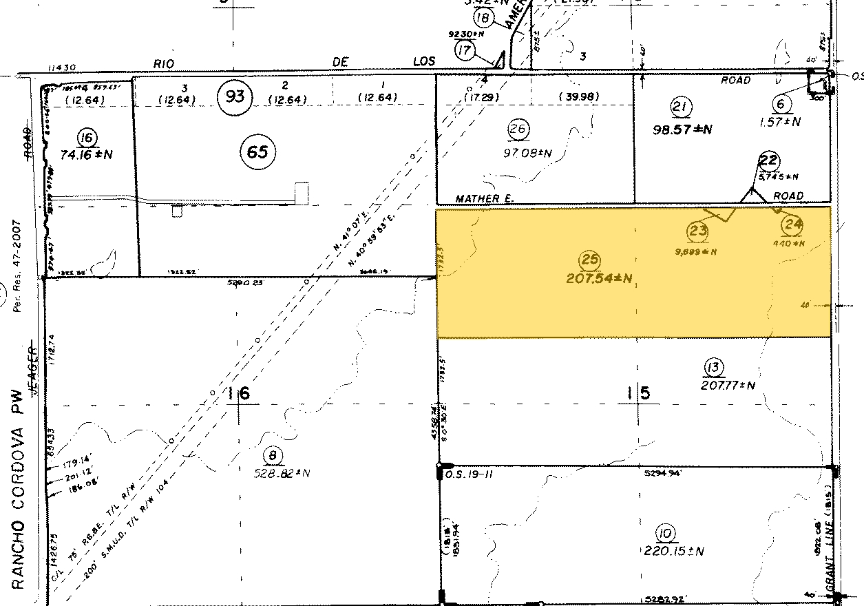
Grant Line Rd
126-0050-001
ALL THAT POR OF S 3/4 SEC 22, T8N, R7E, MDB&M,LYING W OF UPPER DAYLOR ESTATES EXC W 1/2 OFNW 1/4 AND S 408.47 OF SD SEC CONTG
Pasture
Sacramento
X
California
06067C0332J
182 AC
0
Outer Sacramento County
2024
Sacramento
008706
Sacramento--Roseville--Arden-Arcade, CA
DEMOGRAPHICS near Grant Line Rd
1 Mile
3 Mile
5 Mile
2024 Total Population
3,244
17,158
26,503
2029 Population
3,281
17,469
26,911
Pop Growth 2024-2029
+ 1.14%
+ 1.81%
+ 1.54%
Average Age
37
36
37
2024 Total Households
1,082
5,033
8,052
HH Growth 2024-2029
+ 1.02%
+ 1.77%
+ 1.49%
Median Household Inc
$151,157
$154,392
$140,833
Avg Household Size
3.00
3.30
3.20
2024 Avg HH Vehicles
2.00
2.00
2.00
Median Home Value
$569,231
$587,701
$573,105
Median Year Built
2011
2010
2008
Nearby Places
- Restaurants
- Banks
- Shops
- Fitness
- Groceries
PUBLIC TRANSPORTATION
AIRPORT
Sacramento International
DRIVE
WALK
Distance
Sacramento International
44 min
28.0 mi
Freight Ports
Port of Stockton
DRIVE
WALK
Distance
Port of Stockton
60 min
43.9 mi
Nearby Properties
Address
Land Use
TOTAL SIZE
Lot Size
Zoning
Address
Land Use
TOTAL SIZE
Lot Size
Zoning
399.31 AC
AG-20 AG-4
Address
Land Use
TOTAL SIZE
Lot Size
Zoning
422 AC
AG-80
Address
Land Use
TOTAL SIZE
Lot Size
Zoning
14,423 SF
9.60 AC
AR-10
Address
Land Use
TOTAL SIZE
Lot Size
Zoning
153 AC
AG-160
Address
Land Use
TOTAL SIZE
Lot Size
Zoning
5,000 SF
161.69 AC
AG-80
Address
Land Use
TOTAL SIZE
Lot Size
Zoning
9,263 SF
47.42 AC
AG-80
Address
Land Use
TOTAL SIZE
Lot Size
Zoning
10.38 AC
RD-10 O
Address
Land Use
TOTAL SIZE
Lot Size
Zoning
2,281 SF
213.43 AC
AG-80 (SM)
Address
Land Use
TOTAL SIZE
Lot Size
Zoning
8,703 SF
2 AC
AR-2
Address
Land Use
TOTAL SIZE
Lot Size
Zoning
810 SF
108.18 AC
AG-40 AG-2
Address
Land Use
TOTAL SIZE
Lot Size
Zoning
2,050 SF
82.84 AC
AG-80
Address
Land Use
TOTAL SIZE
Lot Size
Zoning
120.91 AC
AG-160 (SM
Address
Land Use
TOTAL SIZE
Lot Size
Zoning
295.63 AC
AG-160
Address
Land Use
TOTAL SIZE
Lot Size
Zoning
115.98 AC
AG-160
Address
Land Use
TOTAL SIZE
Lot Size
Zoning
77.13 AC
AG-20
Address
Land Use
TOTAL SIZE
Lot Size
Zoning
4,834 SF
4.98 AC
AR-5
Address
Land Use
TOTAL SIZE
Lot Size
Zoning
160 AC
AG-160
Address
Land Use
TOTAL SIZE
Lot Size
Zoning
1,594 SF
38.76 AC
AG-20
Address
Land Use
TOTAL SIZE
Lot Size
Zoning
5.78 AC
LC
Address
Land Use
TOTAL SIZE
Lot Size
Zoning
2,583 SF
39.47 AC
AG-20
Address
Land Use
TOTAL SIZE
Lot Size
Zoning
4,013 SF
79.39 AC
AG-80
Address
Land Use
TOTAL SIZE
Lot Size
Zoning
1,130 SF
39.69 AC
AG-20
Address
Land Use
TOTAL SIZE
Lot Size
Zoning
85.07 AC
AR-1
Address
Land Use
TOTAL SIZE
Lot Size
Zoning
4,598 SF
1.75 AC
AR-2
Address
Land Use
TOTAL SIZE
Lot Size
Zoning
3,732 SF
0.91 AC
AR-1
Address
Land Use
TOTAL SIZE
Lot Size
Zoning
4,245 SF
0.89 AC
AR-1
Address
Land Use
TOTAL SIZE
Lot Size
Zoning
5,959 SF
4.85 AC
AG-20
Address
Land Use
TOTAL SIZE
Lot Size
Zoning
8.97 AC
RD-5
Address
Land Use
TOTAL SIZE
Lot Size
Zoning
5,706 SF
2.87 AC
AR-2
Address
Land Use
TOTAL SIZE
Lot Size
Zoning
3,870 SF
18.85 AC
AG-20
The World's #1 Commercial Real Estate Marketplace
Connect with us
© 2025 CoStar Group
The information above has been obtained from sources believed reliable. While we do not doubt its accuracy we have not verified it and make no guarantee, warranty or representation about it. It is your responsibility to independently confirm its accuracy and completeness. Any projections, opinions, assumptions, or estimates used are for example only and do not represent the current or future performance of the property. The value of this transaction to you depends on tax and other factors which should be evaluated by your tax, financial, and legal advisors. You and your advisors should conduct a careful, independent investigation of the property to determine to your satisfaction the suitability of the property for your needs.