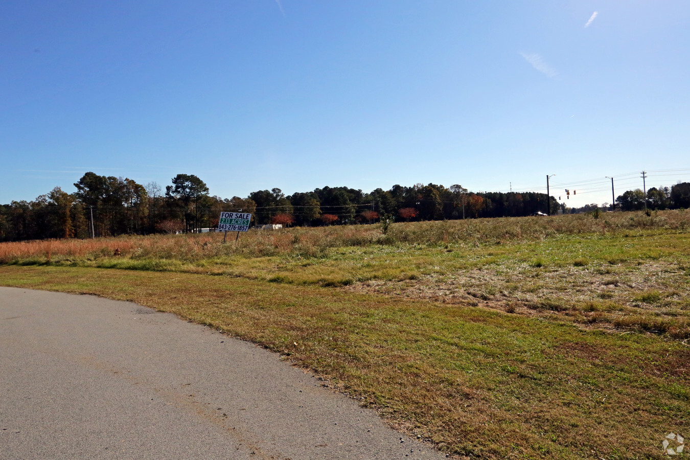
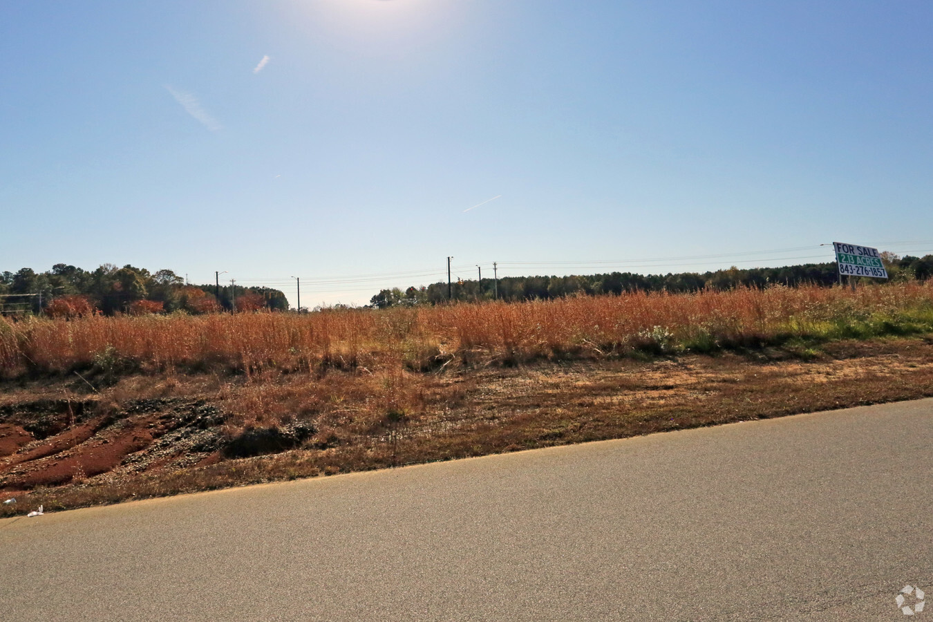
Property Record
Highway 125, Roanoke Rapids, NC 27870

NEARBY LISTINGS FOR SALE OR LEASE
Property Detail
Highway 125
Roanoke Rapids, NC
Plat Showing Resubdivision Of Lots 2 4 A
12-05604
LOT 5
Commercialacreage
Halifax
X
North Carolina
3720490600J
5
2023
2.14 AC
2024
North Carolina Northeast Area
930501
Other Market Areas
DEMOGRAPHICS near Highway 125
1 Mile
3 Mile
5 Mile
2024 Total Population
453
6,030
21,432
2029 Population
445
5,887
20,835
Pop Growth 2024-2029
(1.77%)
(2.37%)
(2.79%)
Average Age
45
43
42
2024 Total Households
199
2,740
9,237
HH Growth 2024-2029
(1.51%)
(2.41%)
(2.79%)
Median Household Inc
$29,999
$29,089
$38,522
Avg Household Size
2.20
2.20
2.30
2024 Avg HH Vehicles
2.00
2.00
2.00
Median Home Value
$188,332
$96,782
$110,285
Median Year Built
1984
1981
1976
Nearby Places
- Restaurants
- Banks
- Shops
- Fitness
- Groceries
SALE & LEASE HISTORY
LISTING DATE
SALE/LEASE

Jun 21, 2019
For Sale
Nearby Properties
Address
Land Use
TOTAL SIZE
Lot Size
Zoning
Address
Land Use
TOTAL SIZE
Lot Size
Zoning
239,194 SF
48.24 AC
RRB5
Address
Land Use
TOTAL SIZE
Lot Size
Zoning
50,336 SF
113.40 AC
WELI1
Address
Land Use
TOTAL SIZE
Lot Size
Zoning
74,953 SF
107.43 AC
Address
Land Use
TOTAL SIZE
Lot Size
Zoning
160,440 SF
23.63 AC
COHI
Address
Land Use
TOTAL SIZE
Lot Size
Zoning
203,628 SF
17.91 AC
RRB4
Address
Land Use
TOTAL SIZE
Lot Size
Zoning
11,283 SF
3.66 AC
Address
Land Use
TOTAL SIZE
Lot Size
Zoning
46,948 SF
2.31 AC
RRB4
Address
Land Use
TOTAL SIZE
Lot Size
Zoning
110,678 SF
11.34 AC
RRB4
Address
Land Use
TOTAL SIZE
Lot Size
Zoning
66,609 SF
2.60 AC
RRB4
Address
Land Use
TOTAL SIZE
Lot Size
Zoning
28,316 SF
10.19 AC
RRB4
Address
Land Use
TOTAL SIZE
Lot Size
Zoning
87,165 SF
8.77 AC
RRB4
Address
Land Use
TOTAL SIZE
Lot Size
Zoning
8,200 SF
5.96 AC
RRB4
Address
Land Use
TOTAL SIZE
Lot Size
Zoning
14,000 SF
13.66 AC
RRB4
Address
Land Use
TOTAL SIZE
Lot Size
Zoning
75,392 SF
4.22 AC
RRR
Address
Land Use
TOTAL SIZE
Lot Size
Zoning
58,891 SF
2.65 AC
WELR8
Address
Land Use
TOTAL SIZE
Lot Size
Zoning
81,310 SF
8.30 AC
COHI
Address
Land Use
TOTAL SIZE
Lot Size
Zoning
14,300 SF
10 AC
RRB4
Address
Land Use
TOTAL SIZE
Lot Size
Zoning
45,205 SF
8.82 AC
Address
Land Use
TOTAL SIZE
Lot Size
Zoning
68,153 SF
20 AC
WELR8
Address
Land Use
TOTAL SIZE
Lot Size
Zoning
35,336 SF
10.21 AC
RRB4
Address
Land Use
TOTAL SIZE
Lot Size
Zoning
132,851 SF
35.37 AC
Address
Land Use
TOTAL SIZE
Lot Size
Zoning
47,641 SF
2.15 AC
RRB4
Address
Land Use
TOTAL SIZE
Lot Size
Zoning
74,222 SF
10.70 AC
RRB4
Address
Land Use
TOTAL SIZE
Lot Size
Zoning
Address
Land Use
TOTAL SIZE
Lot Size
Zoning
10,436 SF
4.92 AC
RRR6
Address
Land Use
TOTAL SIZE
Lot Size
Zoning
34,496 SF
2.56 AC
RRB4
Address
Land Use
TOTAL SIZE
Lot Size
Zoning
30,762 SF
8.30 AC
RRB
Address
Land Use
TOTAL SIZE
Lot Size
Zoning
17,828 SF
17.59 AC
Address
Land Use
TOTAL SIZE
Lot Size
Zoning
102,000 SF
21.20 AC
COHI
Address
Land Use
TOTAL SIZE
Lot Size
Zoning
18,024 SF
3.75 AC
RRB5
The World's #1 Commercial Real Estate Marketplace
Connect with us
© 2025 CoStar Group
The information above has been obtained from sources believed reliable. While we do not doubt its accuracy we have not verified it and make no guarantee, warranty or representation about it. It is your responsibility to independently confirm its accuracy and completeness. Any projections, opinions, assumptions, or estimates used are for example only and do not represent the current or future performance of the property. The value of this transaction to you depends on tax and other factors which should be evaluated by your tax, financial, and legal advisors. You and your advisors should conduct a careful, independent investigation of the property to determine to your satisfaction the suitability of the property for your needs.