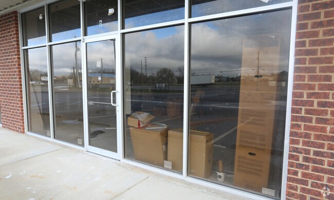
Property Record
Highway 53, Huntsville, AL 35806


NEARBY LISTINGS FOR SALE OR LEASE
Property Detail
Highway 53
14-04-17-0-000-049.000
SEC 17 T3S R1W COMM AT THE NW COR OF SEC 17 TH S 1 DEG W 827.5 FT TO THE POB TH S 18 FT TH E 47.51 FT TH S 30 FT TH W TO HWY
Cropfieldcropsrowcropsallsoilclasses
Madison
X
Alabama
01089C0166F
10 AC
2025
North Huntsville
2025
Huntsville
010627
Huntsville, AL
DEMOGRAPHICS near Highway 53
1 Mile
3 Mile
5 Mile
2024 Total Population
739
34,846
102,281
2029 Population
839
38,849
113,447
Pop Growth 2024-2029
+ 13.53%
+ 11.49%
+ 10.92%
Average Age
38
39
38
2024 Total Households
292
14,876
41,851
HH Growth 2024-2029
+ 14.04%
+ 12.07%
+ 11.80%
Median Household Inc
$105,555
$63,621
$60,635
Avg Household Size
2.40
2.20
2.20
2024 Avg HH Vehicles
2.00
2.00
2.00
Median Home Value
$278,735
$192,765
$201,375
Median Year Built
2010
1989
1986
Nearby Places
Map Layers
Map Styles
 Street
 Aerial
- Restaurants
- Banks
- Shops
- Fitness
- Groceries
PUBLIC TRANSPORTATION
AIRPORT
Huntsville International-Carl T Jones Field
DRIVE
WALK
Distance
Huntsville International-Carl T Jones Field
22 min
15.6 mi
Freight Ports
Port of Mobile
DRIVE
WALK
Distance
Port of Mobile
390 min
356.8 mi
SALE & LEASE HISTORY
LISTING DATE
SALE/LEASE

Sep 26, 2016
For Lease
Nearby Properties
Address
Land Use
TOTAL SIZE
Lot Size
Zoning
Address
Land Use
TOTAL SIZE
Lot Size
Zoning
9,056 SF
39.70 AC
Address
Land Use
TOTAL SIZE
Lot Size
Zoning
61,245 SF
3.39 AC
Address
Land Use
TOTAL SIZE
Lot Size
Zoning
18,232 SF
19 AC
Address
Land Use
TOTAL SIZE
Lot Size
Zoning
13,345 SF
18 AC
Address
Land Use
TOTAL SIZE
Lot Size
Zoning
4,470 SF
20 AC
Address
Land Use
TOTAL SIZE
Lot Size
Zoning
14,665 SF
7.40 AC
Address
Land Use
TOTAL SIZE
Lot Size
Zoning
7,384 SF
11.50 AC
Address
Land Use
TOTAL SIZE
Lot Size
Zoning
1,454 SF
14.22 AC
Address
Land Use
TOTAL SIZE
Lot Size
Zoning
3,644 SF
25.74 AC
Address
Land Use
TOTAL SIZE
Lot Size
Zoning
19,078 SF
10 AC
Address
Land Use
TOTAL SIZE
Lot Size
Zoning
11,912 SF
17 AC
Address
Land Use
TOTAL SIZE
Lot Size
Zoning
3,922 SF
15 AC
Address
Land Use
TOTAL SIZE
Lot Size
Zoning
11,213 SF
5.10 AC
Address
Land Use
TOTAL SIZE
Lot Size
Zoning
2,517 SF
35 AC
Address
Land Use
TOTAL SIZE
Lot Size
Zoning
27,348 SF
6.82 AC
Address
Land Use
TOTAL SIZE
Lot Size
Zoning
27,083 SF
0.29 AC
Address
Land Use
TOTAL SIZE
Lot Size
Zoning
1,526 SF
11.83 AC
Address
Land Use
TOTAL SIZE
Lot Size
Zoning
15,361 SF
9.76 AC
Address
Land Use
TOTAL SIZE
Lot Size
Zoning
4,272 SF
6.65 AC
Address
Land Use
TOTAL SIZE
Lot Size
Zoning
2,248 SF
14 AC
Address
Land Use
TOTAL SIZE
Lot Size
Zoning
120,000 SF
14.59 AC
Address
Land Use
TOTAL SIZE
Lot Size
Zoning
3,956 SF
10.67 AC
Address
Land Use
TOTAL SIZE
Lot Size
Zoning
7,895 SF
3.58 AC
Address
Land Use
TOTAL SIZE
Lot Size
Zoning
15,736 SF
0.34 AC
Address
Land Use
TOTAL SIZE
Lot Size
Zoning
7,600 SF
9.72 AC
Address
Land Use
TOTAL SIZE
Lot Size
Zoning
65,782 SF
12.44 AC
Address
Land Use
TOTAL SIZE
Lot Size
Zoning
2,644 SF
16.50 AC
Address
Land Use
TOTAL SIZE
Lot Size
Zoning
37,390 SF
5.96 AC
Address
Land Use
TOTAL SIZE
Lot Size
Zoning
3,632 SF
12.09 AC
Address
Land Use
TOTAL SIZE
Lot Size
Zoning
19,253 SF
0.87 AC
The World's #1 Commercial Real Estate Marketplace
Connect with us
© 2026 CoStar Group
The information above has been obtained from sources believed reliable. While we do not doubt its accuracy we have not verified it and make no guarantee, warranty or representation about it. It is your responsibility to independently confirm its accuracy and completeness. Any projections, opinions, assumptions, or estimates used are for example only and do not represent the current or future performance of the property. The value of this transaction to you depends on tax and other factors which should be evaluated by your tax, financial, and legal advisors. You and your advisors should conduct a careful, independent investigation of the property to determine to your satisfaction the suitability of the property for your needs.