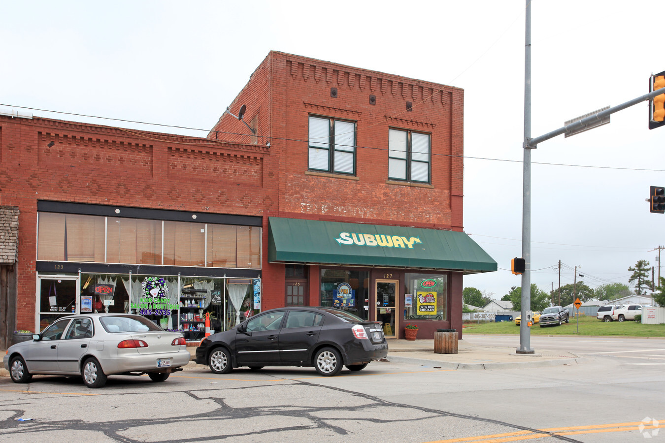
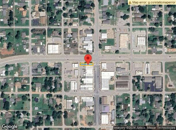
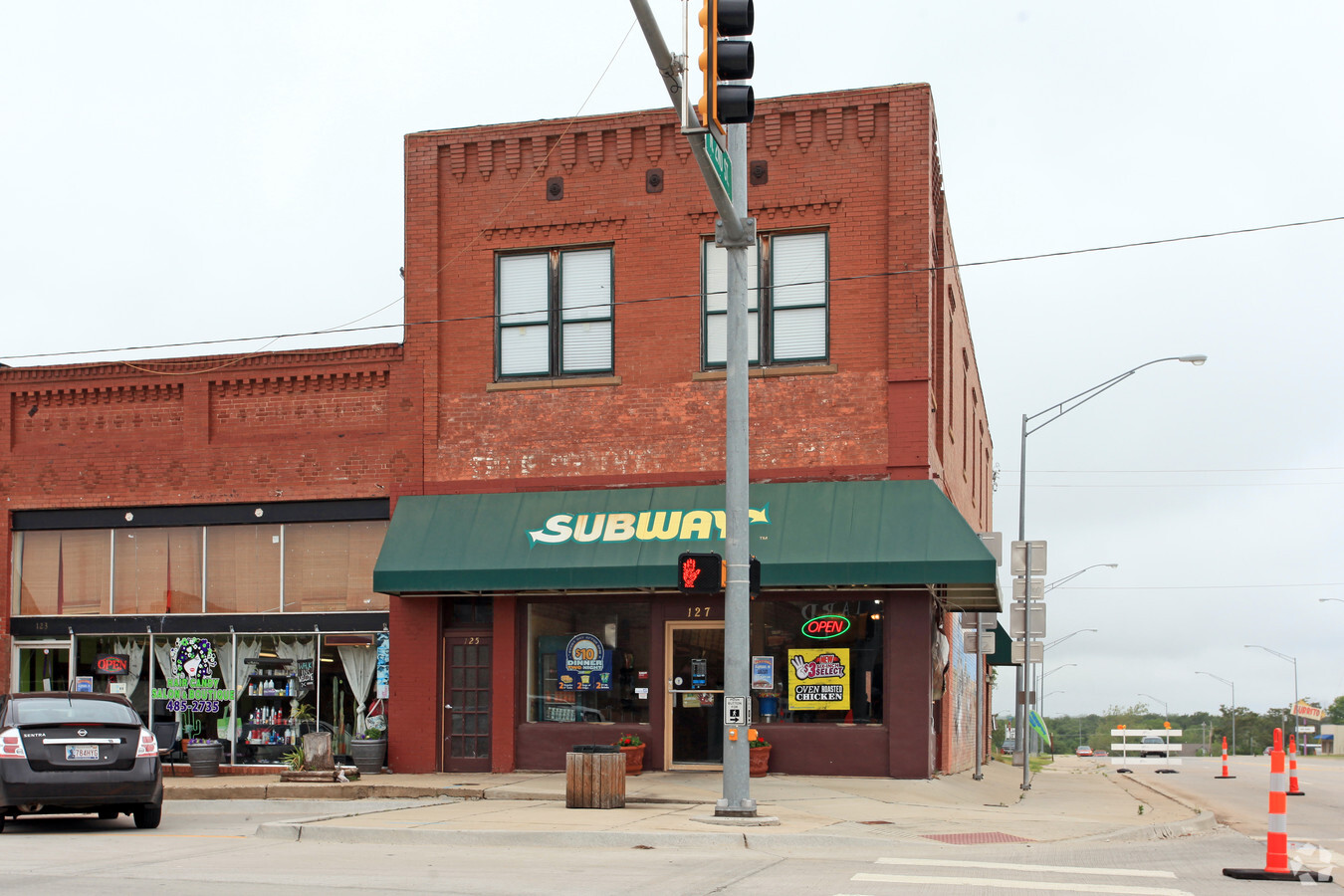
Property Record
Main St, Blanchard, OK 73010
NEARBY LISTINGS FOR SALE OR LEASE
-
-
View all Blanchard listings for sale on LoopNet.com
Property Detail
Main St
Oklahoma City, OK
Blanchard
BLAN00078012000000
LOT 12 BLOCK 78 BLANCHARD CITY
Multifamilydwelling
Mcclain
X
Oklahoma
40051C0245E
12
2024
0.04 AC
2023
Southwest Outlying
400104
Oklahoma City
2,000 SF
DEMOGRAPHICS near Main St
1 Mile
3 Mile
5 Mile
2024 Total Population
3,781
8,893
13,766
2029 Population
4,543
10,423
15,991
Pop Growth 2024-2029
+ 20.15%
+ 17.20%
+ 16.16%
Average Age
38
39
39
2024 Total Households
1,437
3,284
5,023
HH Growth 2024-2029
+ 20.11%
+ 17.24%
+ 16.21%
Median Household Inc
$67,230
$79,944
$86,621
Avg Household Size
2.60
2.70
2.70
2024 Avg HH Vehicles
2.00
2.00
2.00
Median Home Value
$181,554
$221,233
$230,942
Median Year Built
1991
2000
2001
Nearby Places
- Restaurants
- Banks
- Shops
- Fitness
- Groceries
PUBLIC TRANSPORTATION
AIRPORT
Will Rogers World
Drive
Walk
Distance
Will Rogers World
36 min
23.3 mi
Freight Ports
Tulsa Port Of Catoosa
Drive
Walk
Distance
Tulsa Port Of Catoosa
169 min
151.4 mi
Nearby Properties
Address
Land Use
TOTAL SIZE
Lot Size
Zoning
Address
Land Use
TOTAL SIZE
Lot Size
Zoning
1920
20.82 AC
Address
Land Use
TOTAL SIZE
Lot Size
Zoning
8584
1.95 AC
Address
Land Use
TOTAL SIZE
Lot Size
Zoning
6240
2.87 AC
Address
Land Use
TOTAL SIZE
Lot Size
Zoning
7564
2.33 AC
Address
Land Use
TOTAL SIZE
Lot Size
Zoning
1724
2.89 AC
Address
Land Use
TOTAL SIZE
Lot Size
Zoning
5765
2.40 AC
Address
Land Use
TOTAL SIZE
Lot Size
Zoning
12000
6.04 AC
Address
Land Use
TOTAL SIZE
Lot Size
Zoning
24613
1.99 AC
Address
Land Use
TOTAL SIZE
Lot Size
Zoning
1980
6.40 AC
Address
Land Use
TOTAL SIZE
Lot Size
Zoning
4500
8.20 AC
Address
Land Use
TOTAL SIZE
Lot Size
Zoning
10880
3.94 AC
Address
Land Use
TOTAL SIZE
Lot Size
Zoning
15867
0.40 AC
Address
Land Use
TOTAL SIZE
Lot Size
Zoning
3420
0.08 AC
Address
Land Use
TOTAL SIZE
Lot Size
Zoning
5700
9.40 AC
Address
Land Use
TOTAL SIZE
Lot Size
Zoning
6900
2.28 AC
Address
Land Use
TOTAL SIZE
Lot Size
Zoning
15725
9.45 AC
Address
Land Use
TOTAL SIZE
Lot Size
Zoning
2000
1.16 AC
Address
Land Use
TOTAL SIZE
Lot Size
Zoning
3350
3.05 AC
Address
Land Use
TOTAL SIZE
Lot Size
Zoning
360
0.45 AC
Address
Land Use
TOTAL SIZE
Lot Size
Zoning
10414
1.07 AC
Address
Land Use
TOTAL SIZE
Lot Size
Zoning
6800
0.17 AC
Address
Land Use
TOTAL SIZE
Lot Size
Zoning
3913
0.09 AC
Address
Land Use
TOTAL SIZE
Lot Size
Zoning
13704
1.33 AC
Address
Land Use
TOTAL SIZE
Lot Size
Zoning
2522
0.90 AC
C1
Address
Land Use
TOTAL SIZE
Lot Size
Zoning
4691
0.03 AC
Address
Land Use
TOTAL SIZE
Lot Size
Zoning
1200
0.95 AC
Start a new search to find other properties for sale or lease
Connect with us
© 2024 CoStar Group
The information above has been obtained from sources believed reliable. While we do not doubt its accuracy we have not verified it and make no guarantee, warranty or representation about it. It is your responsibility to independently confirm its accuracy and completeness. Any projections, opinions, assumptions, or estimates used are for example only and do not represent the current or future performance of the property. The value of this transaction to you depends on tax and other factors which should be evaluated by your tax, financial, and legal advisors. You and your advisors should conduct a careful, independent investigation of the property to determine to your satisfaction the suitability of the property for your needs.