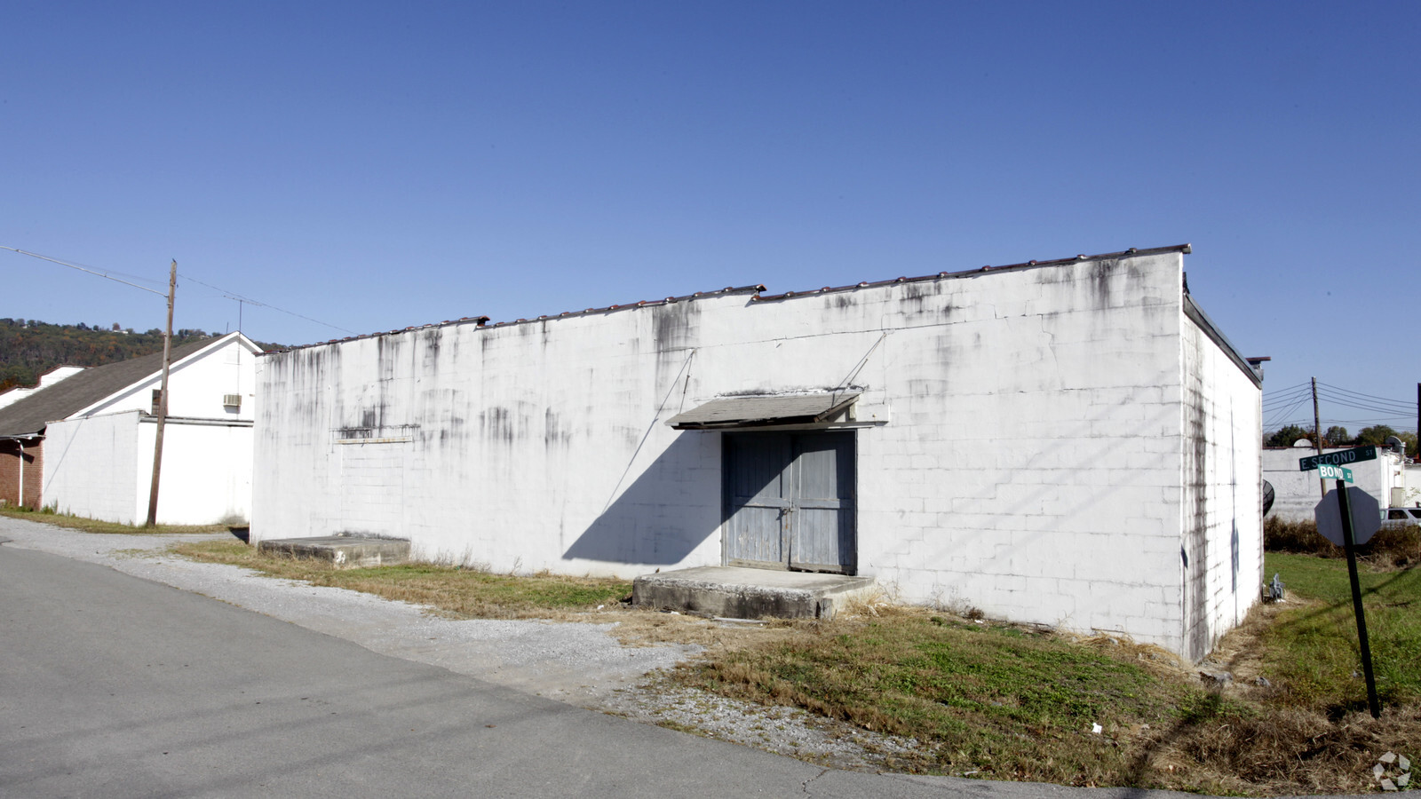
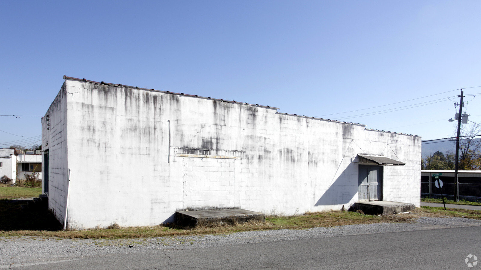
Property Record
N Main St, Trenton, GA 30752
NEARBY LISTINGS FOR SALE OR LEASE
-
-
View all Trenton listings for sale on LoopNet.com
Property Detail
N Main St
T12-42-003-00
Comm-Trenton Downtown
Stripcommercialcenter
PT LL 287 10/4 TATUM & DYER 1 1
X
Dade
01071C0350D
Georgia
2024
3.22 AC
2024
Dade County
040103
Chattanooga
58,649 SF
Chattanooga, TN-GA
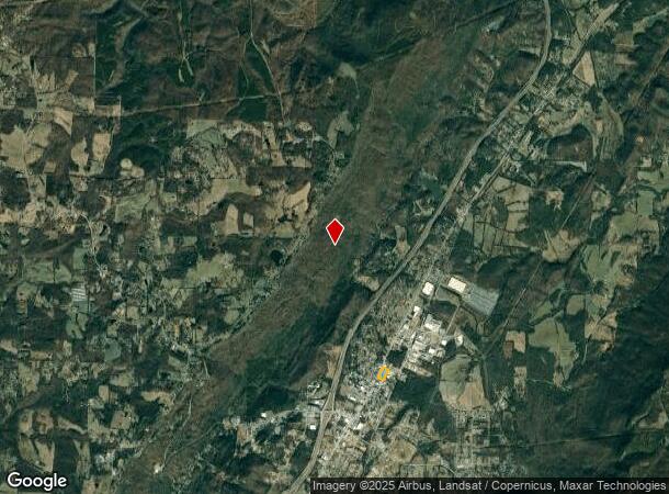
DEMOGRAPHICS near N Main St
1 Mile
3 Mile
5 Mile
2024 Total Population
1,603
5,320
9,316
2029 Population
1,593
5,282
9,290
Pop Growth 2024-2029
(0.62%)
(0.71%)
(0.28%)
Average Age
40
41
42
2024 Total Households
668
2,181
3,790
HH Growth 2024-2029
(0.75%)
(0.87%)
(0.45%)
Median Household Inc
$37,243
$43,718
$47,760
Avg Household Size
2.40
2.40
2.40
2024 Avg HH Vehicles
2.00
2.00
2.00
Median Home Value
$123,936
$135,018
$150,054
Median Year Built
1987
1986
1985
Nearby Places
- Restaurants
- Banks
- Shops
- Fitness
- Groceries
PUBLIC TRANSPORTATION
AIRPORT
Lovell Field
DRIVE
WALK
Distance
Lovell Field
45 min
30.2 mi
Freight Ports
Georgia Ports - Savannah
DRIVE
WALK
Distance
Georgia Ports - Savannah
435 min
385.4 mi
Nearby Properties
Address
Land Use
TOTAL SIZE
Lot Size
Zoning
Address
Land Use
TOTAL SIZE
Lot Size
Zoning
347,975 SF
98.19 AC
Address
Land Use
TOTAL SIZE
Lot Size
Zoning
6,290 SF
19.50 AC
R-1
Address
Land Use
TOTAL SIZE
Lot Size
Zoning
15,220 SF
25.05 AC
R-1
Address
Land Use
TOTAL SIZE
Lot Size
Zoning
61,468 SF
3.70 AC
M-1
Address
Land Use
TOTAL SIZE
Lot Size
Zoning
31,181 SF
1.93 AC
B-1
Address
Land Use
TOTAL SIZE
Lot Size
Zoning
92,474 SF
27.63 AC
M-1
Address
Land Use
TOTAL SIZE
Lot Size
Zoning
28,896 SF
0.96 AC
B-R
Address
Land Use
TOTAL SIZE
Lot Size
Zoning
41,460 SF
8.90 AC
B-3
Address
Land Use
TOTAL SIZE
Lot Size
Zoning
30,750 SF
1.25 AC
B-1
Address
Land Use
TOTAL SIZE
Lot Size
Zoning
38,400 SF
18.60 AC
M-1
Address
Land Use
TOTAL SIZE
Lot Size
Zoning
115,683 SF
2.78 AC
M-1
Address
Land Use
TOTAL SIZE
Lot Size
Zoning
56,864 SF
5.97 AC
B-R
Address
Land Use
TOTAL SIZE
Lot Size
Zoning
187,648 SF
13.50 AC
M-1
Address
Land Use
TOTAL SIZE
Lot Size
Zoning
58,310 SF
8.13 AC
M-1
Address
Land Use
TOTAL SIZE
Lot Size
Zoning
17,952 SF
9.50 AC
B-R
Address
Land Use
TOTAL SIZE
Lot Size
Zoning
25,966 SF
1.50 AC
B-1
Address
Land Use
TOTAL SIZE
Lot Size
Zoning
21,810 SF
10.63 AC
R-1
Address
Land Use
TOTAL SIZE
Lot Size
Zoning
32,873 SF
5.96 AC
M-1
Address
Land Use
TOTAL SIZE
Lot Size
Zoning
14,288 SF
25.53 AC
Address
Land Use
TOTAL SIZE
Lot Size
Zoning
13,100 SF
5.09 AC
Address
Land Use
TOTAL SIZE
Lot Size
Zoning
18,750 SF
3.61 AC
B-3
Address
Land Use
TOTAL SIZE
Lot Size
Zoning
83,770 SF
14.48 AC
M-1
Address
Land Use
TOTAL SIZE
Lot Size
Zoning
13,007 SF
2 AC
B-R
Address
Land Use
TOTAL SIZE
Lot Size
Zoning
28,892 SF
4.72 AC
B-R
Address
Land Use
TOTAL SIZE
Lot Size
Zoning
36,360 SF
Address
Land Use
TOTAL SIZE
Lot Size
Zoning
6,153 SF
2 AC
Address
Land Use
TOTAL SIZE
Lot Size
Zoning
14,320 SF
1.56 AC
B-3
Address
Land Use
TOTAL SIZE
Lot Size
Zoning
4,779 SF
15 AC
R-1
Address
Land Use
TOTAL SIZE
Lot Size
Zoning
11,200 SF
2.50 AC
B-R
The World's #1 Commercial Real Estate Marketplace
Connect with us
© 2025 CoStar Group
The information above has been obtained from sources believed reliable. While we do not doubt its accuracy we have not verified it and make no guarantee, warranty or representation about it. It is your responsibility to independently confirm its accuracy and completeness. Any projections, opinions, assumptions, or estimates used are for example only and do not represent the current or future performance of the property. The value of this transaction to you depends on tax and other factors which should be evaluated by your tax, financial, and legal advisors. You and your advisors should conduct a careful, independent investigation of the property to determine to your satisfaction the suitability of the property for your needs.