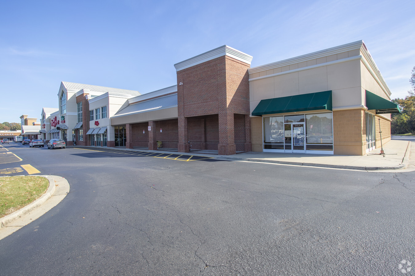
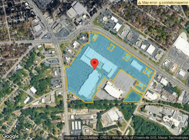
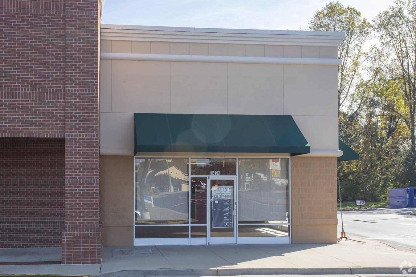
Property Record
N Pleasantburg Dr, Greenville, SC 29609
NEARBY LISTINGS FOR SALE OR LEASE
Property Detail
N Pleasantburg Dr
Greenville-Anderson-Mauldin, SC
Price Legacy Corporation
0173.01-06-001.00
MAP 0173.01
Stripcommercialcenter
Greenville
X
South Carolina
45045C0319E
001.00
2024
32.18 AC
2024
Cherrydale
002304
Greenville/Spartanburg
DEMOGRAPHICS near N Pleasantburg Dr
1 Mile
3 Mile
5 Mile
2024 Total Population
6,984
69,029
163,210
2029 Population
7,750
76,735
180,799
Pop Growth 2024-2029
+ 10.97%
+ 11.16%
+ 10.78%
Average Age
37
38
39
2024 Total Households
2,905
28,478
68,700
HH Growth 2024-2029
+ 11.08%
+ 11.49%
+ 11.04%
Median Household Inc
$41,800
$52,253
$55,038
Avg Household Size
2.30
2.20
2.20
2024 Avg HH Vehicles
2.00
2.00
2.00
Median Home Value
$188,986
$236,590
$249,701
Median Year Built
1976
1979
1979
Nearby Places
- Restaurants
- Banks
- Shops
- Fitness
- Groceries
PUBLIC TRANSPORTATION
COMMUTER RAIL
Greenville Amtrak Station (Crescent - Amtrak)
DRIVE
WALK
Distance
Greenville Amtrak Station (Crescent - Amtrak)
6 min
2.6 mi
AIRPORT
Greenville Spartanburg International
DRIVE
WALK
Distance
Greenville Spartanburg International
28 min
16.1 mi
Freight Ports
North Charleston Terminal
DRIVE
WALK
Distance
North Charleston Terminal
235 min
206.8 mi
SALE & LEASE HISTORY
LISTING DATE
SALE/LEASE

Sep 25, 2016
For Lease
Oct 26, 2017
For Lease
Oct 03, 2016
For Lease
Jul 29, 2020
For Lease
Apr 24, 2017
For Lease
Nearby Properties
Address
Land Use
TOTAL SIZE
Lot Size
Zoning
Address
Land Use
TOTAL SIZE
Lot Size
Zoning
22.97 AC
R12
Address
Land Use
TOTAL SIZE
Lot Size
Zoning
1.01 AC
C4
Address
Land Use
TOTAL SIZE
Lot Size
Zoning
0.39 AC
C4
Address
Land Use
TOTAL SIZE
Lot Size
Zoning
28.88 AC
RM
Address
Land Use
TOTAL SIZE
Lot Size
Zoning
14.41 AC
R15
Address
Land Use
TOTAL SIZE
Lot Size
Zoning
1.92 AC
C4
Address
Land Use
TOTAL SIZE
Lot Size
Zoning
0.53 AC
C4
Address
Land Use
TOTAL SIZE
Lot Size
Zoning
1.62 AC
C3
Address
Land Use
TOTAL SIZE
Lot Size
Zoning
11.13 AC
OD
Address
Land Use
TOTAL SIZE
Lot Size
Zoning
1.19 AC
C4
Address
Land Use
TOTAL SIZE
Lot Size
Zoning
0.02 AC
C4
Address
Land Use
TOTAL SIZE
Lot Size
Zoning
9.57 AC
C3
Address
Land Use
TOTAL SIZE
Lot Size
Zoning
97.93 AC
OD
Address
Land Use
TOTAL SIZE
Lot Size
Zoning
2.08 AC
C4
Address
Land Use
TOTAL SIZE
Lot Size
Zoning
4.18 AC
C2
Address
Land Use
TOTAL SIZE
Lot Size
Zoning
0.65 AC
Address
Land Use
TOTAL SIZE
Lot Size
Zoning
Address
Land Use
TOTAL SIZE
Lot Size
Zoning
2.62 AC
S1
Address
Land Use
TOTAL SIZE
Lot Size
Zoning
5.07 AC
S1
Address
Land Use
TOTAL SIZE
Lot Size
Zoning
61.73 AC
OD
Address
Land Use
TOTAL SIZE
Lot Size
Zoning
14.84 AC
S1
Address
Land Use
TOTAL SIZE
Lot Size
Zoning
954 SF
7.83 AC
S1
Address
Land Use
TOTAL SIZE
Lot Size
Zoning
2.71 AC
RM2
Address
Land Use
TOTAL SIZE
Lot Size
Zoning
1.53 AC
C4
Address
Land Use
TOTAL SIZE
Lot Size
Zoning
6.49 AC
C3
Address
Land Use
TOTAL SIZE
Lot Size
Zoning
5.40 AC
OD
Address
Land Use
TOTAL SIZE
Lot Size
Zoning
3.76 AC
CBD
Address
Land Use
TOTAL SIZE
Lot Size
Zoning
4.70 AC
C3
Address
Land Use
TOTAL SIZE
Lot Size
Zoning
26.30 AC
R20
Address
Land Use
TOTAL SIZE
Lot Size
Zoning
3.43 AC
CBD
The World's #1 Commercial Real Estate Marketplace
Connect with us
© 2025 CoStar Group
The information above has been obtained from sources believed reliable. While we do not doubt its accuracy we have not verified it and make no guarantee, warranty or representation about it. It is your responsibility to independently confirm its accuracy and completeness. Any projections, opinions, assumptions, or estimates used are for example only and do not represent the current or future performance of the property. The value of this transaction to you depends on tax and other factors which should be evaluated by your tax, financial, and legal advisors. You and your advisors should conduct a careful, independent investigation of the property to determine to your satisfaction the suitability of the property for your needs.