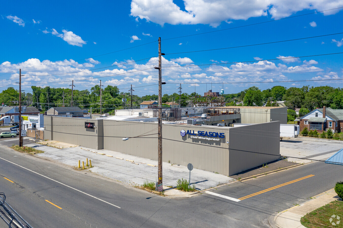
Property Record
18 N Virginia Ave E, Penns Grove, NJ 08069
NEARBY LISTINGS FOR SALE OR LEASE
Property Detail
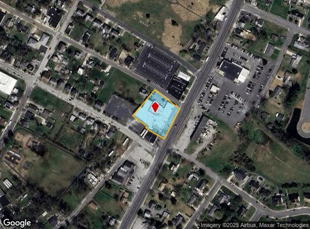
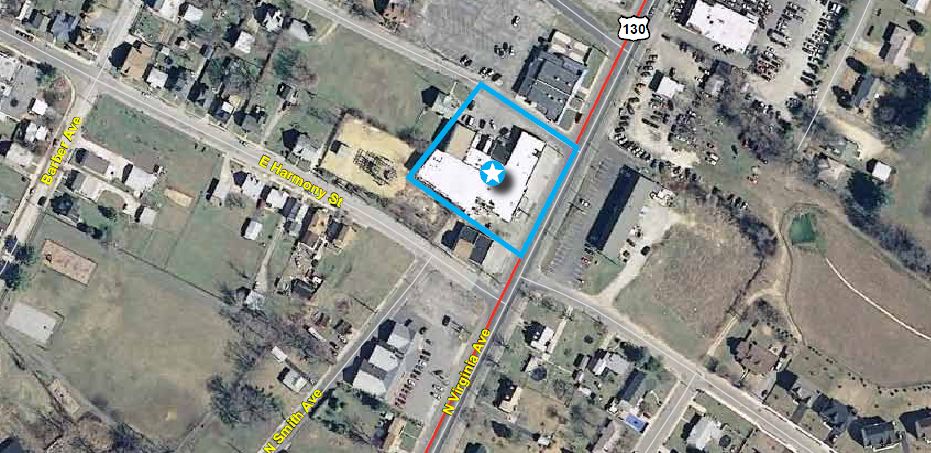
18 N Virginia Ave E
08-00041-0000-00008
INCL BLK 41 LOTS 8 & 10.01
Warehouse
Salem
X
New Jersey
34033C0052C
8
2023
0.95 AC
2024
Salem County
020500
Philadelphia
24,246 SF
Philadelphia-Camden-Wilmington, PA-NJ-DE-MD
DEMOGRAPHICS near 18 N Virginia Ave E
1 Mile
3 Mile
5 Mile
2024 Total Population
9,111
17,916
87,616
2029 Population
9,315
18,217
89,439
Pop Growth 2024-2029
+ 2.24%
+ 1.68%
+ 2.08%
Average Age
38
40
40
2024 Total Households
3,345
7,031
35,858
HH Growth 2024-2029
+ 2.15%
+ 1.51%
+ 2.15%
Median Household Inc
$44,305
$60,099
$56,417
Avg Household Size
2.70
2.50
2.30
2024 Avg HH Vehicles
1.00
2.00
1.00
Median Home Value
$155,627
$167,888
$210,946
Median Year Built
1960
1959
1956
Nearby Places
- Restaurants
- Banks
- Shops
- Fitness
- Groceries
PUBLIC TRANSPORTATION
AIRPORT
Philadelphia International
DRIVE
WALK
Distance
Philadelphia International
33 min
20.7 mi
Freight Ports
Port of Wilmington, RI
DRIVE
WALK
Distance
Port of Wilmington, RI
19 min
10.4 mi
SALE & LEASE HISTORY
LISTING DATE
SALE/LEASE

Sep 25, 2016
For Lease
Sep 24, 2016
For Sale
Mar 06, 2019
For Sale
Jun 24, 2019
For Lease
Jun 24, 2019
For Sale
Dec 22, 2020
For Sale
Nearby Properties
Address
Land Use
TOTAL SIZE
Lot Size
Zoning
Address
Land Use
TOTAL SIZE
Lot Size
Zoning
29.05 AC
GC
Address
Land Use
TOTAL SIZE
Lot Size
Zoning
4,895 SF
76.28 AC
26M-2
Address
Land Use
TOTAL SIZE
Lot Size
Zoning
26.64 AC
GI
Address
Land Use
TOTAL SIZE
Lot Size
Zoning
10.75 AC
LC
Address
Land Use
TOTAL SIZE
Lot Size
Zoning
23,402 SF
44.89 AC
LR
Address
Land Use
TOTAL SIZE
Lot Size
Zoning
105.88 AC
26M-2
Address
Land Use
TOTAL SIZE
Lot Size
Zoning
1,133.55 AC
GI
Address
Land Use
TOTAL SIZE
Lot Size
Zoning
21.39 AC
Address
Land Use
TOTAL SIZE
Lot Size
Zoning
10.28 AC
IC
Address
Land Use
TOTAL SIZE
Lot Size
Zoning
18,802 SF
4.14 AC
LR
Address
Land Use
TOTAL SIZE
Lot Size
Zoning
848 SF
10.69 AC
LR
Address
Land Use
TOTAL SIZE
Lot Size
Zoning
30.10 AC
Address
Land Use
TOTAL SIZE
Lot Size
Zoning
20 AC
GI
Address
Land Use
TOTAL SIZE
Lot Size
Zoning
204.56 AC
GI
Address
Land Use
TOTAL SIZE
Lot Size
Zoning
Address
Land Use
TOTAL SIZE
Lot Size
Zoning
16.80 AC
Address
Land Use
TOTAL SIZE
Lot Size
Zoning
29.57 AC
Address
Land Use
TOTAL SIZE
Lot Size
Zoning
19.67 AC
LR
Address
Land Use
TOTAL SIZE
Lot Size
Zoning
19,576 SF
5.70 AC
Address
Land Use
TOTAL SIZE
Lot Size
Zoning
10.08 AC
IC
Address
Land Use
TOTAL SIZE
Lot Size
Zoning
Address
Land Use
TOTAL SIZE
Lot Size
Zoning
11.76 AC
GC
Address
Land Use
TOTAL SIZE
Lot Size
Zoning
393,718 SF
42.16 AC
NCGA
Address
Land Use
TOTAL SIZE
Lot Size
Zoning
Address
Land Use
TOTAL SIZE
Lot Size
Zoning
105,735 SF
113.29 AC
HI
Address
Land Use
TOTAL SIZE
Lot Size
Zoning
32.12 AC
Address
Land Use
TOTAL SIZE
Lot Size
Zoning
12,672 SF
11.10 AC
Address
Land Use
TOTAL SIZE
Lot Size
Zoning
2,798 SF
0.80 AC
Address
Land Use
TOTAL SIZE
Lot Size
Zoning
1,025.90 AC
Address
Land Use
TOTAL SIZE
Lot Size
Zoning
25,268 SF
5 AC
LR
The World's #1 Commercial Real Estate Marketplace
Connect with us
© 2025 CoStar Group
The information above has been obtained from sources believed reliable. While we do not doubt its accuracy we have not verified it and make no guarantee, warranty or representation about it. It is your responsibility to independently confirm its accuracy and completeness. Any projections, opinions, assumptions, or estimates used are for example only and do not represent the current or future performance of the property. The value of this transaction to you depends on tax and other factors which should be evaluated by your tax, financial, and legal advisors. You and your advisors should conduct a careful, independent investigation of the property to determine to your satisfaction the suitability of the property for your needs.