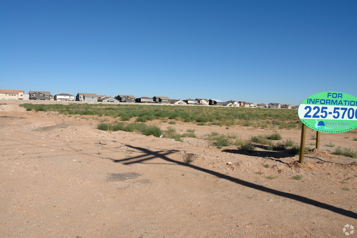
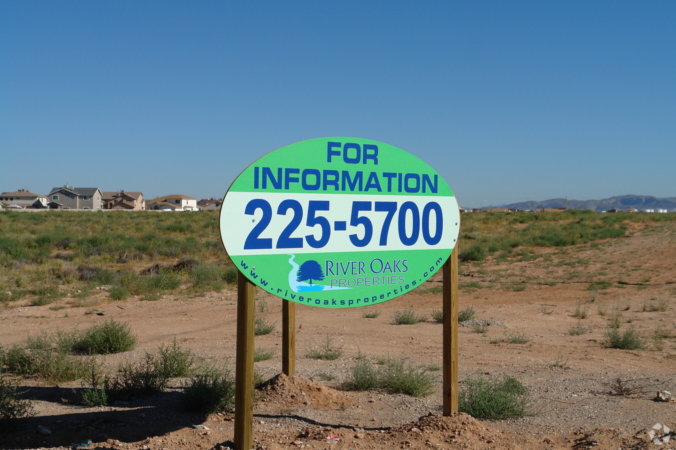
Property Record
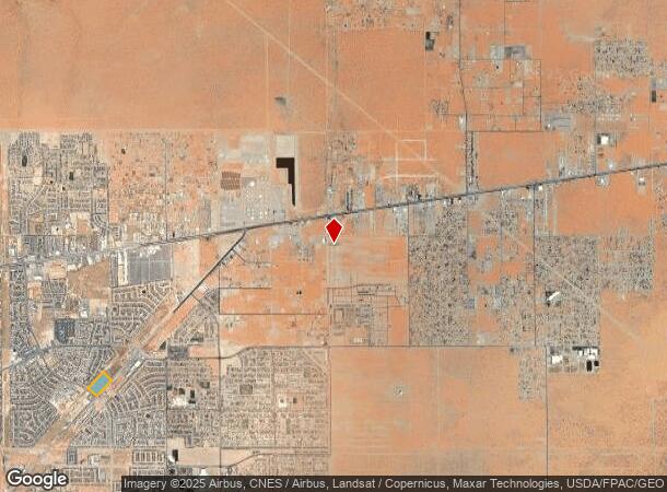
N Zaragoza Rd, El Paso, TX 79938
NEARBY LISTINGS FOR SALE OR LEASE
Property Detail
N Zaragoza Rd
El Paso
Tierra Commercial #8
El Paso, TX
BLK 7 TIERRA COMMERCIAL #8 LOT 2
T284-999-0070-0200
El Paso
Commercialacreage
Texas
2023
2
2023
14.29 AC
010341
East
DEMOGRAPHICS near N Zaragoza Rd
1 Mile
3 Mile
5 Mile
2024 Total Population
20,000
102,504
183,653
2029 Population
20,132
103,670
185,413
Pop Growth 2024-2029
+ 0.66%
+ 1.14%
+ 0.96%
Average Age
30
32
34
2024 Total Households
6,007
30,256
57,522
HH Growth 2024-2029
+ 0.68%
+ 1.14%
+ 0.95%
Median Household Inc
$81,954
$63,651
$61,120
Avg Household Size
3.30
3.30
3.10
2024 Avg HH Vehicles
2.00
2.00
2.00
Median Home Value
$191,244
$164,605
$161,555
Median Year Built
2008
2008
2001
Nearby Places
- Restaurants
- Banks
- Shops
- Fitness
- Groceries
PUBLIC TRANSPORTATION
AIRPORT
El Paso International
DRIVE
WALK
Distance
El Paso International
26 min
14.1 mi
Freight Ports
Port of Corpus Christi
DRIVE
WALK
Distance
Port of Corpus Christi
680 min
690.8 mi
SALE & LEASE HISTORY
LISTING DATE
SALE/LEASE

Sep 24, 2016
For Sale
Nearby Properties
Address
Land Use
TOTAL SIZE
Lot Size
Zoning
Address
Land Use
TOTAL SIZE
Lot Size
Zoning
Address
Land Use
TOTAL SIZE
Lot Size
Zoning
417,251 SF
22.96 AC
A2
Address
Land Use
TOTAL SIZE
Lot Size
Zoning
349,689 SF
70 AC
R5
Address
Land Use
TOTAL SIZE
Lot Size
Zoning
148.75 AC
Address
Land Use
TOTAL SIZE
Lot Size
Zoning
90,150 SF
21.85 AC
Address
Land Use
TOTAL SIZE
Lot Size
Zoning
234,094 SF
12.28 AC
A2
Address
Land Use
TOTAL SIZE
Lot Size
Zoning
159,046 SF
175.80 AC
Address
Land Use
TOTAL SIZE
Lot Size
Zoning
54,678 SF
5.32 AC
C2
Address
Land Use
TOTAL SIZE
Lot Size
Zoning
46,200 SF
11.39 AC
R5
Address
Land Use
TOTAL SIZE
Lot Size
Zoning
58,448 SF
10.89 AC
C4C
Address
Land Use
TOTAL SIZE
Lot Size
Zoning
161,414 SF
11.54 AC
AO
Address
Land Use
TOTAL SIZE
Lot Size
Zoning
195,554 SF
5.28 AC
C3
Address
Land Use
TOTAL SIZE
Lot Size
Zoning
256,946 SF
9.02 AC
C4C
Address
Land Use
TOTAL SIZE
Lot Size
Zoning
36.23 AC
C4C
Address
Land Use
TOTAL SIZE
Lot Size
Zoning
46,200 SF
81.03 AC
R5
Address
Land Use
TOTAL SIZE
Lot Size
Zoning
93.02 AC
C4
Address
Land Use
TOTAL SIZE
Lot Size
Zoning
42,230 SF
Address
Land Use
TOTAL SIZE
Lot Size
Zoning
100,396 SF
22.05 AC
C4
Address
Land Use
TOTAL SIZE
Lot Size
Zoning
81,942 SF
5.66 AC
Address
Land Use
TOTAL SIZE
Lot Size
Zoning
23.56 AC
R3
Address
Land Use
TOTAL SIZE
Lot Size
Zoning
53,949 SF
5.47 AC
C3
Address
Land Use
TOTAL SIZE
Lot Size
Zoning
39,752 SF
10.51 AC
C4
Address
Land Use
TOTAL SIZE
Lot Size
Zoning
20.63 AC
Address
Land Use
TOTAL SIZE
Lot Size
Zoning
187,940 SF
10.09 AC
A2
Address
Land Use
TOTAL SIZE
Lot Size
Zoning
40,510 SF
9 AC
GMU
Address
Land Use
TOTAL SIZE
Lot Size
Zoning
66,461 SF
3.48 AC
C2C
Address
Land Use
TOTAL SIZE
Lot Size
Zoning
9.98 AC
Address
Land Use
TOTAL SIZE
Lot Size
Zoning
Address
Land Use
TOTAL SIZE
Lot Size
Zoning
32,000 SF
5.98 AC
C4
The World's #1 Commercial Real Estate Marketplace
Connect with us
© 2025 CoStar Group
The information above has been obtained from sources believed reliable. While we do not doubt its accuracy we have not verified it and make no guarantee, warranty or representation about it. It is your responsibility to independently confirm its accuracy and completeness. Any projections, opinions, assumptions, or estimates used are for example only and do not represent the current or future performance of the property. The value of this transaction to you depends on tax and other factors which should be evaluated by your tax, financial, and legal advisors. You and your advisors should conduct a careful, independent investigation of the property to determine to your satisfaction the suitability of the property for your needs.