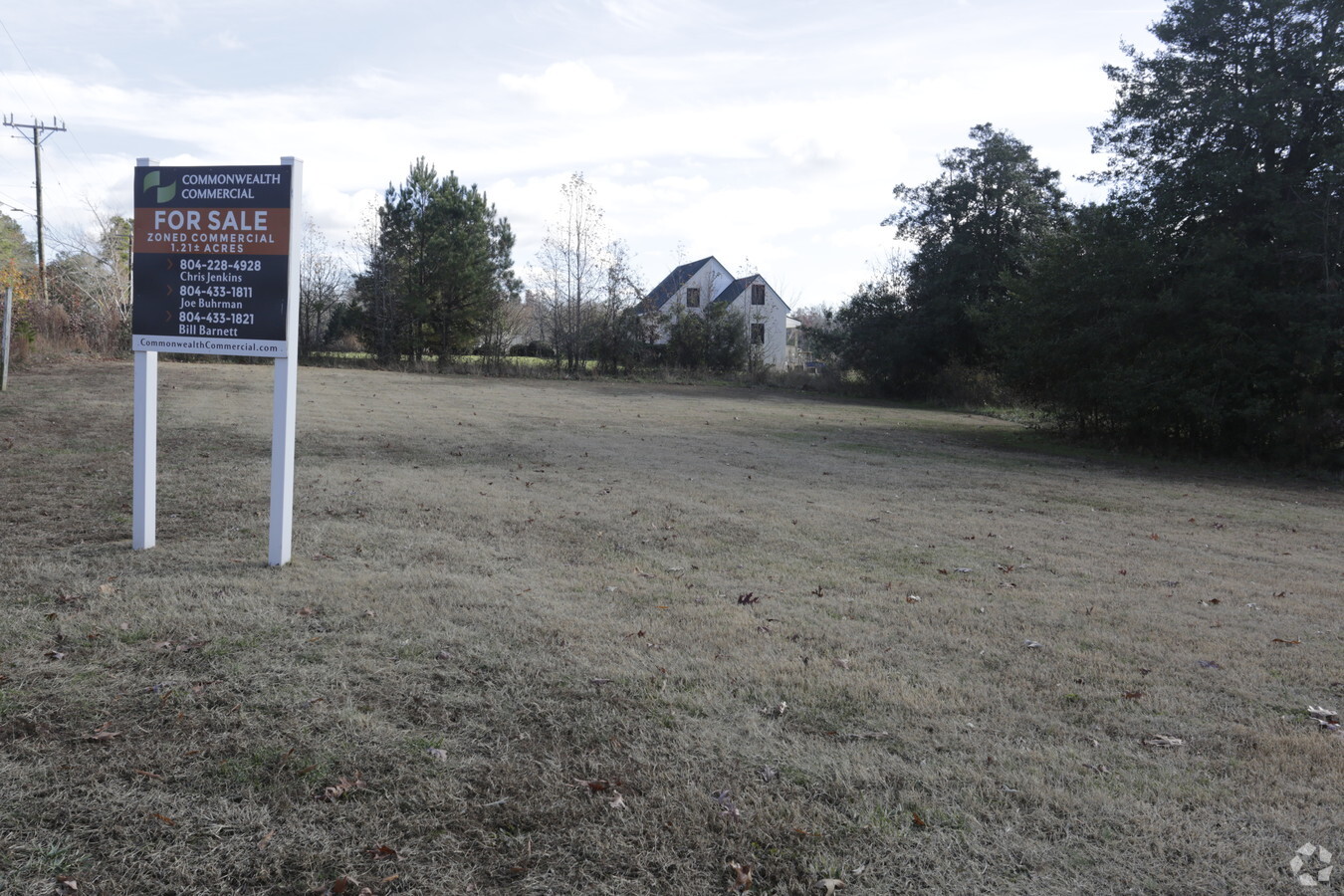
Property Record
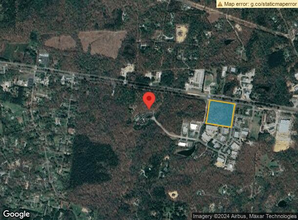
1588 Oakbridge Ter, Powhatan, VA 23139
NEARBY LISTINGS FOR SALE OR LEASE
Property Detail
1588 Oakbridge Ter
Richmond, VA
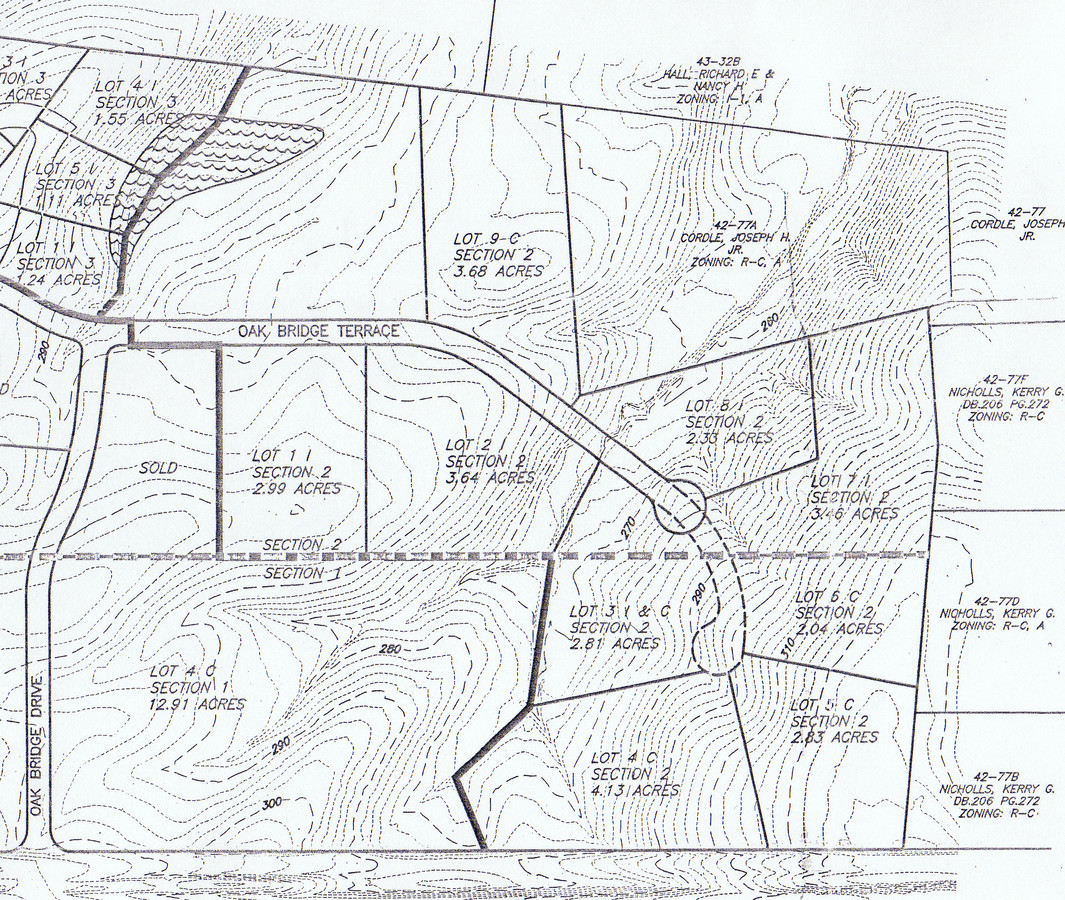
ROUTE 60 PCL B
043-29
Powhatan
Commercialacreage
Virginia
X
29
51145C0165C
8.85 AC
2023
Powhatan
2024
Richmond VA
500102
DEMOGRAPHICS near 1588 Oakbridge Ter
1 Mile
3 Mile
5 Mile
2024 Total Population
715
6,997
37,767
2029 Population
789
7,835
42,030
Pop Growth 2024-2029
+ 10.35%
+ 11.98%
+ 11.29%
Average Age
42
39
40
2024 Total Households
262
2,381
13,704
HH Growth 2024-2029
+ 10.31%
+ 12.01%
+ 11.33%
Median Household Inc
$143,518
$161,013
$130,976
Avg Household Size
2.70
2.90
2.70
2024 Avg HH Vehicles
3.00
2.00
2.00
Median Home Value
$432,075
$494,539
$457,575
Median Year Built
1992
2007
2005
Nearby Places
- Restaurants
- Banks
- Shops
- Fitness
- Groceries
PUBLIC TRANSPORTATION
AIRPORT
Richmond International
DRIVE
WALK
Distance
Richmond International
49 min
30.8 mi
Freight Ports
Virginia Port Authority - Richmond
DRIVE
WALK
Distance
Virginia Port Authority - Richmond
38 min
20.9 mi
SALE & LEASE HISTORY
LISTING DATE
SALE/LEASE

Dec 08, 2016
For Sale
Nearby Properties
Address
Land Use
TOTAL SIZE
Lot Size
Zoning
Address
Land Use
TOTAL SIZE
Lot Size
Zoning
96,428 SF
20.87 AC
A-10
Address
Land Use
TOTAL SIZE
Lot Size
Zoning
149,648 SF
29.73 AC
CC
Address
Land Use
TOTAL SIZE
Lot Size
Zoning
163,704 SF
10.16 AC
I2 - GEN I
Address
Land Use
TOTAL SIZE
Lot Size
Zoning
54,804 SF
0.60 AC
I2 - GEN I
Address
Land Use
TOTAL SIZE
Lot Size
Zoning
210.30 AC
C3 - COMMU
Address
Land Use
TOTAL SIZE
Lot Size
Zoning
34,060 SF
4.29 AC
I2 - GEN I
Address
Land Use
TOTAL SIZE
Lot Size
Zoning
61,231 SF
7.80 AC
CC
Address
Land Use
TOTAL SIZE
Lot Size
Zoning
78,000 SF
5.88 AC
I2 - GEN I
Address
Land Use
TOTAL SIZE
Lot Size
Zoning
43,108 SF
0.54 AC
I2 - GEN I
Address
Land Use
TOTAL SIZE
Lot Size
Zoning
6,504 SF
2.89 AC
O2 - CORP
Address
Land Use
TOTAL SIZE
Lot Size
Zoning
15,322 SF
37.84 AC
I-2
Address
Land Use
TOTAL SIZE
Lot Size
Zoning
19,946 SF
3.78 AC
I2 - GEN I
Address
Land Use
TOTAL SIZE
Lot Size
Zoning
49,360 SF
17 AC
I-2
Address
Land Use
TOTAL SIZE
Lot Size
Zoning
1,800 SF
5.25 AC
CC
Address
Land Use
TOTAL SIZE
Lot Size
Zoning
12,900 SF
2.22 AC
I2 - GEN I
Address
Land Use
TOTAL SIZE
Lot Size
Zoning
9,408 SF
19.13 AC
A - AGRICU
Address
Land Use
TOTAL SIZE
Lot Size
Zoning
14.10 AC
I2 - GEN I
Address
Land Use
TOTAL SIZE
Lot Size
Zoning
544 SF
2.02 AC
A - AGRICU
Address
Land Use
TOTAL SIZE
Lot Size
Zoning
70.13 AC
C3 - COMMU
Address
Land Use
TOTAL SIZE
Lot Size
Zoning
10,110 SF
2.74 AC
I2 - GEN I
Address
Land Use
TOTAL SIZE
Lot Size
Zoning
15,690 SF
3.71 AC
CC
Address
Land Use
TOTAL SIZE
Lot Size
Zoning
4,129 SF
1.63 AC
I2 - GEN I
Address
Land Use
TOTAL SIZE
Lot Size
Zoning
4,450 SF
1.70 AC
I2 - GEN I
Address
Land Use
TOTAL SIZE
Lot Size
Zoning
12,992 SF
5.09 AC
I-1
Address
Land Use
TOTAL SIZE
Lot Size
Zoning
19,810 SF
1.56 AC
I-1
Address
Land Use
TOTAL SIZE
Lot Size
Zoning
4,567 SF
1.51 AC
I2 - GEN I
Address
Land Use
TOTAL SIZE
Lot Size
Zoning
4,536 SF
1.50 AC
I2 - GEN I
Address
Land Use
TOTAL SIZE
Lot Size
Zoning
12,000 SF
5.08 AC
CC
Address
Land Use
TOTAL SIZE
Lot Size
Zoning
5,928 SF
2.75 AC
CC
Address
Land Use
TOTAL SIZE
Lot Size
Zoning
15,620 SF
2.48 AC
CC
The World's #1 Commercial Real Estate Marketplace
Connect with us
© 2025 CoStar Group
The information above has been obtained from sources believed reliable. While we do not doubt its accuracy we have not verified it and make no guarantee, warranty or representation about it. It is your responsibility to independently confirm its accuracy and completeness. Any projections, opinions, assumptions, or estimates used are for example only and do not represent the current or future performance of the property. The value of this transaction to you depends on tax and other factors which should be evaluated by your tax, financial, and legal advisors. You and your advisors should conduct a careful, independent investigation of the property to determine to your satisfaction the suitability of the property for your needs.