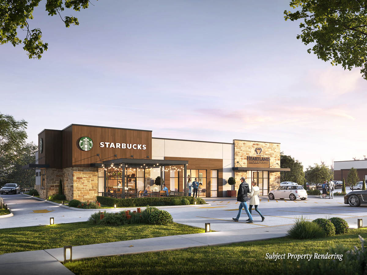
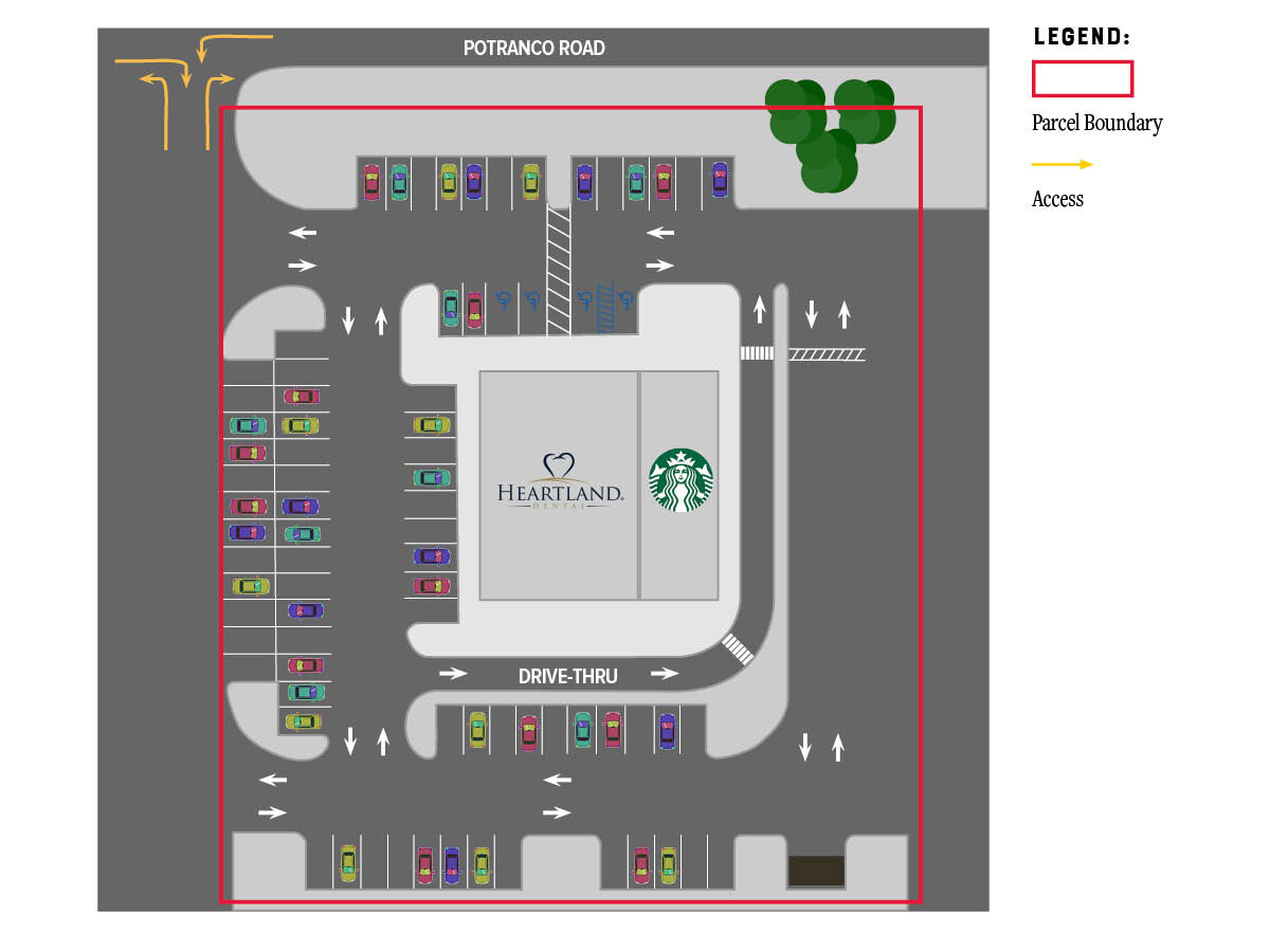
Property Record
Potranco Rd, San Antonio, TX 78245
NEARBY LISTINGS FOR SALE OR LEASE
Property Detail
Potranco Rd
San Antonio
Conv A/S Code
San Antonio-New Braunfels, TX
Bexar
04349-000-0041
Texas
Ruralagriculturalresidence
4.25 AC
X
Far West
48325C0400D
DEMOGRAPHICS near Potranco Rd
1 Mile
3 Mile
5 Mile
2024 Total Population
7,168
40,358
120,641
2029 Population
7,918
44,680
132,173
Pop Growth 2024-2029
+ 10.46%
+ 10.71%
+ 9.56%
Average Age
33
33
34
2024 Total Households
2,144
12,104
37,498
HH Growth 2024-2029
+ 10.73%
+ 11.03%
+ 9.88%
Median Household Inc
$112,916
$106,576
$100,744
Avg Household Size
3.30
3.30
3.10
2024 Avg HH Vehicles
2.00
2.00
2.00
Median Home Value
$320,571
$284,997
$260,950
Median Year Built
2011
2010
2010
Nearby Places
- Restaurants
- Banks
- Shops
- Fitness
- Groceries
PUBLIC TRANSPORTATION
AIRPORT
San Antonio International
DRIVE
WALK
Distance
San Antonio International
25 min
17.5 mi
Freight Ports
Port of Corpus Christi
DRIVE
WALK
Distance
Port of Corpus Christi
164 min
157.1 mi
SALE & LEASE HISTORY
LISTING DATE
SALE/LEASE

Mar 02, 2022
For Sale
Nearby Properties
Address
Land Use
TOTAL SIZE
Lot Size
Zoning
Address
Land Use
TOTAL SIZE
Lot Size
Zoning
333,308 SF
22.04 AC
Address
Land Use
TOTAL SIZE
Lot Size
Zoning
276,443 SF
130.09 AC
Address
Land Use
TOTAL SIZE
Lot Size
Zoning
236,594 SF
25.34 AC
Address
Land Use
TOTAL SIZE
Lot Size
Zoning
532,921 SF
21.80 AC
Address
Land Use
TOTAL SIZE
Lot Size
Zoning
331,109 SF
14.44 AC
Address
Land Use
TOTAL SIZE
Lot Size
Zoning
336,383 SF
18.71 AC
Address
Land Use
TOTAL SIZE
Lot Size
Zoning
361,708 SF
17.83 AC
Address
Land Use
TOTAL SIZE
Lot Size
Zoning
50,135 SF
10.96 AC
Address
Land Use
TOTAL SIZE
Lot Size
Zoning
202,122 SF
20.56 AC
Address
Land Use
TOTAL SIZE
Lot Size
Zoning
360,108 SF
24 AC
Address
Land Use
TOTAL SIZE
Lot Size
Zoning
368,012 SF
22.27 AC
Address
Land Use
TOTAL SIZE
Lot Size
Zoning
369,951 SF
21.42 AC
Address
Land Use
TOTAL SIZE
Lot Size
Zoning
241,445 SF
15.86 AC
Address
Land Use
TOTAL SIZE
Lot Size
Zoning
263,976 SF
17.42 AC
Address
Land Use
TOTAL SIZE
Lot Size
Zoning
209,459 SF
18.25 AC
Address
Land Use
TOTAL SIZE
Lot Size
Zoning
228,494 SF
12.74 AC
Address
Land Use
TOTAL SIZE
Lot Size
Zoning
574,068 SF
418.24 AC
Address
Land Use
TOTAL SIZE
Lot Size
Zoning
284,940 SF
12.87 AC
Address
Land Use
TOTAL SIZE
Lot Size
Zoning
328,060 SF
16.19 AC
Address
Land Use
TOTAL SIZE
Lot Size
Zoning
341,556 SF
15 AC
Address
Land Use
TOTAL SIZE
Lot Size
Zoning
199,954 SF
10.29 AC
Address
Land Use
TOTAL SIZE
Lot Size
Zoning
221,920 SF
12.50 AC
Address
Land Use
TOTAL SIZE
Lot Size
Zoning
269,610 SF
15.64 AC
Address
Land Use
TOTAL SIZE
Lot Size
Zoning
256,992 SF
10.87 AC
Address
Land Use
TOTAL SIZE
Lot Size
Zoning
240,775 SF
13.63 AC
Address
Land Use
TOTAL SIZE
Lot Size
Zoning
375,203 SF
15.99 AC
Address
Land Use
TOTAL SIZE
Lot Size
Zoning
286,881 SF
37.13 AC
Address
Land Use
TOTAL SIZE
Lot Size
Zoning
275,619 SF
32.92 AC
Address
Land Use
TOTAL SIZE
Lot Size
Zoning
2,457 SF
60.19 AC
Address
Land Use
TOTAL SIZE
Lot Size
Zoning
106,008 SF
8.97 AC
The World's #1 Commercial Real Estate Marketplace
Connect with us
© 2025 CoStar Group
The information above has been obtained from sources believed reliable. While we do not doubt its accuracy we have not verified it and make no guarantee, warranty or representation about it. It is your responsibility to independently confirm its accuracy and completeness. Any projections, opinions, assumptions, or estimates used are for example only and do not represent the current or future performance of the property. The value of this transaction to you depends on tax and other factors which should be evaluated by your tax, financial, and legal advisors. You and your advisors should conduct a careful, independent investigation of the property to determine to your satisfaction the suitability of the property for your needs.