Property Record
Premier Blvd, Roanoke Rapids, NC 27870

NEARBY LISTINGS FOR SALE OR LEASE
Property Detail
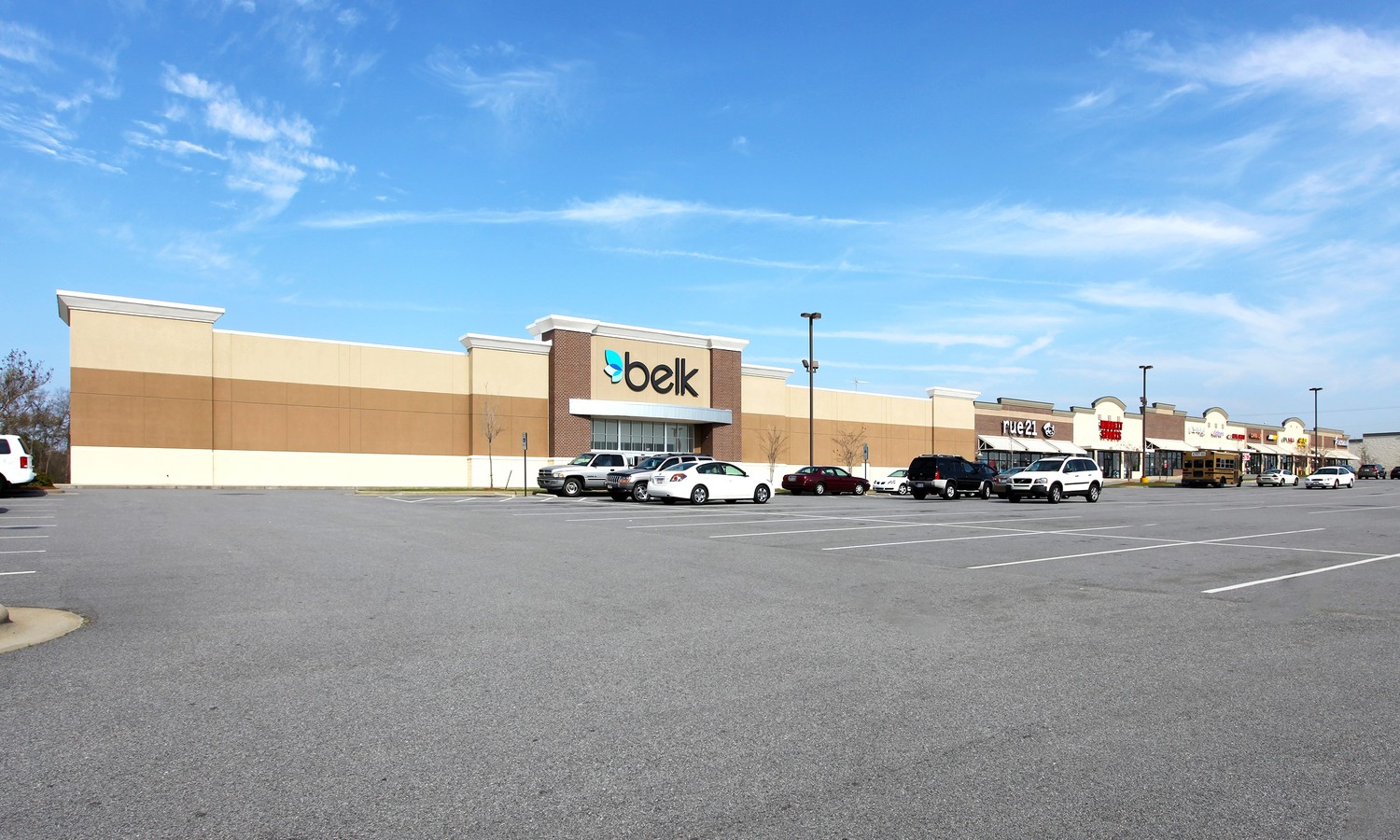
Premier Blvd
Roanoke Rapids, NC
Final Plat Entilted Power Center Subdivi
09-19673
PREMIER BLVD & 4TH AVE/LOT 1
Regionalshoppingcenterormallwithanchorstore
Halifax
X
North Carolina
3720490700J
1
2023
5.96 AC
2024
North Carolina Northeast Area
930501
Other Market Areas
8,200 SF
DEMOGRAPHICS near Premier Blvd
1 Mile
3 Mile
5 Mile
2024 Total Population
1,415
15,158
25,443
2029 Population
1,368
14,774
24,712
Pop Growth 2024-2029
(3.32%)
(2.53%)
(2.87%)
Average Age
45
42
42
2024 Total Households
704
6,597
10,923
HH Growth 2024-2029
(3.27%)
(2.53%)
(2.87%)
Median Household Inc
$35,168
$38,662
$39,195
Avg Household Size
2.00
2.20
2.30
2024 Avg HH Vehicles
1.00
2.00
2.00
Median Home Value
$214,286
$124,839
$118,591
Median Year Built
1983
1974
1976
Nearby Places
- Restaurants
- Banks
- Shops
- Fitness
- Groceries
SALE & LEASE HISTORY
LISTING DATE
SALE/LEASE

Nov 21, 2016
For Lease
Nearby Properties
Address
Land Use
TOTAL SIZE
Lot Size
Zoning
Address
Land Use
TOTAL SIZE
Lot Size
Zoning
239,194 SF
48.24 AC
RRB5
Address
Land Use
TOTAL SIZE
Lot Size
Zoning
97,735 SF
21.37 AC
RRR8
Address
Land Use
TOTAL SIZE
Lot Size
Zoning
94,328 SF
26.40 AC
RRR8
Address
Land Use
TOTAL SIZE
Lot Size
Zoning
203,628 SF
17.91 AC
RRB4
Address
Land Use
TOTAL SIZE
Lot Size
Zoning
26,530 SF
196.49 AC
RRI2
Address
Land Use
TOTAL SIZE
Lot Size
Zoning
46,948 SF
2.31 AC
RRB4
Address
Land Use
TOTAL SIZE
Lot Size
Zoning
110,678 SF
11.34 AC
RRB4
Address
Land Use
TOTAL SIZE
Lot Size
Zoning
66,609 SF
2.60 AC
RRB4
Address
Land Use
TOTAL SIZE
Lot Size
Zoning
13,794 SF
11.34 AC
RRR
Address
Land Use
TOTAL SIZE
Lot Size
Zoning
28,316 SF
10.19 AC
RRB4
Address
Land Use
TOTAL SIZE
Lot Size
Zoning
87,165 SF
8.77 AC
RRB4
Address
Land Use
TOTAL SIZE
Lot Size
Zoning
14,000 SF
13.66 AC
RRB4
Address
Land Use
TOTAL SIZE
Lot Size
Zoning
75,392 SF
4.22 AC
RRR
Address
Land Use
TOTAL SIZE
Lot Size
Zoning
60,043 SF
1.58 AC
RRR6
Address
Land Use
TOTAL SIZE
Lot Size
Zoning
14,300 SF
10 AC
RRB4
Address
Land Use
TOTAL SIZE
Lot Size
Zoning
38,176 SF
6.20 AC
RRR6
Address
Land Use
TOTAL SIZE
Lot Size
Zoning
75,353 SF
10 AC
RRR6
Address
Land Use
TOTAL SIZE
Lot Size
Zoning
14,400 SF
4.83 AC
RRI2
Address
Land Use
TOTAL SIZE
Lot Size
Zoning
57,708 SF
2.55 AC
RRB4
Address
Land Use
TOTAL SIZE
Lot Size
Zoning
10,114 SF
4.45 AC
RRR6
Address
Land Use
TOTAL SIZE
Lot Size
Zoning
35,336 SF
10.21 AC
RRB4
Address
Land Use
TOTAL SIZE
Lot Size
Zoning
132,851 SF
35.37 AC
Address
Land Use
TOTAL SIZE
Lot Size
Zoning
47,641 SF
2.15 AC
RRB4
Address
Land Use
TOTAL SIZE
Lot Size
Zoning
74,222 SF
10.70 AC
RRB4
Address
Land Use
TOTAL SIZE
Lot Size
Zoning
10,436 SF
4.92 AC
RRR6
Address
Land Use
TOTAL SIZE
Lot Size
Zoning
23,652 SF
5 AC
RRR
Address
Land Use
TOTAL SIZE
Lot Size
Zoning
6,840 SF
1.82 AC
RRR20
Address
Land Use
TOTAL SIZE
Lot Size
Zoning
10,920 SF
1.92 AC
RRR8
Address
Land Use
TOTAL SIZE
Lot Size
Zoning
25,074 SF
0.32 AC
RRB2
The World's #1 Commercial Real Estate Marketplace
Connect with us
© 2025 CoStar Group
The information above has been obtained from sources believed reliable. While we do not doubt its accuracy we have not verified it and make no guarantee, warranty or representation about it. It is your responsibility to independently confirm its accuracy and completeness. Any projections, opinions, assumptions, or estimates used are for example only and do not represent the current or future performance of the property. The value of this transaction to you depends on tax and other factors which should be evaluated by your tax, financial, and legal advisors. You and your advisors should conduct a careful, independent investigation of the property to determine to your satisfaction the suitability of the property for your needs.