Property Record
Highway 395, Victorville, CA 92395


NEARBY LISTINGS FOR SALE OR LEASE
Property Detail
Highway 395
3096-381-01
N 1/2 N 1/2 N 1/2 NW 1/4 SEC 27 TP 5N R 5W EX ST AND EX ADDL ST
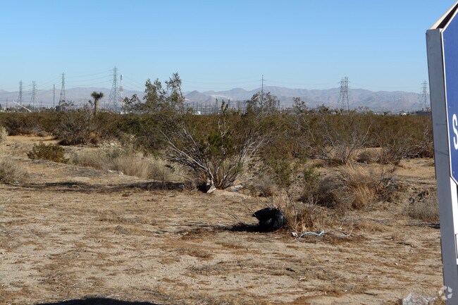
Vacantlandnec
San Bernardino
X
California
06071C6475H
17.60 AC
2024
Mojave River Valley
2025
Inland Empire (California)
009913
Riverside-San Bernardino-Ontario, CA
DEMOGRAPHICS near Highway 395
1 Mile
3 Mile
5 Mile
2024 Total Population
12,167
87,645
143,660
2029 Population
12,628
89,745
146,964
Pop Growth 2024-2029
+ 3.79%
+ 2.40%
+ 2.30%
Average Age
32
34
34
2024 Total Households
2,947
22,434
38,870
HH Growth 2024-2029
+ 3.87%
+ 2.43%
+ 2.33%
Median Household Inc
$79,332
$72,955
$69,760
Avg Household Size
3.90
3.70
3.60
2024 Avg HH Vehicles
3.00
2.00
2.00
Median Home Value
$317,726
$325,353
$316,330
Median Year Built
2004
2000
1998
Nearby Places
Map Layers
Map Styles
 Street
 Aerial
- Restaurants
- Banks
- Shops
- Fitness
- Groceries
PUBLIC TRANSPORTATION
COMMUTER RAIL
Victorville Amtrak (Southwest Chief - Amtrak)
DRIVE
WALK
Distance
Victorville Amtrak (Southwest Chief - Amtrak)
13 min
8.8 mi
Freight Ports
Port of Long Beach
DRIVE
WALK
Distance
Port of Long Beach
112 min
93.6 mi
SALE & LEASE HISTORY
LISTING DATE
SALE/LEASE

Sep 24, 2016
For Sale
Nearby Properties
Address
Land Use
TOTAL SIZE
Lot Size
Zoning
Address
Land Use
TOTAL SIZE
Lot Size
Zoning
194,280 SF
22.61 AC
Address
Land Use
TOTAL SIZE
Lot Size
Zoning
178,544 SF
8.96 AC
Address
Land Use
TOTAL SIZE
Lot Size
Zoning
141,284 SF
13.33 AC
Address
Land Use
TOTAL SIZE
Lot Size
Zoning
111,399 SF
5.96 AC
Address
Land Use
TOTAL SIZE
Lot Size
Zoning
94,372 SF
7.77 AC
Address
Land Use
TOTAL SIZE
Lot Size
Zoning
46,930 SF
3.65 AC
Address
Land Use
TOTAL SIZE
Lot Size
Zoning
142,928 SF
9.13 AC
Address
Land Use
TOTAL SIZE
Lot Size
Zoning
151,906 SF
8.73 AC
RL
Address
Land Use
TOTAL SIZE
Lot Size
Zoning
42,278 SF
5.11 AC
Address
Land Use
TOTAL SIZE
Lot Size
Zoning
35,802 SF
3.46 AC
Address
Land Use
TOTAL SIZE
Lot Size
Zoning
12,238 SF
1.91 AC
Address
Land Use
TOTAL SIZE
Lot Size
Zoning
14,812 SF
1.61 AC
Address
Land Use
TOTAL SIZE
Lot Size
Zoning
14,736 SF
1.96 AC
Address
Land Use
TOTAL SIZE
Lot Size
Zoning
86,560 SF
4.56 AC
Address
Land Use
TOTAL SIZE
Lot Size
Zoning
14,736 SF
1.58 AC
Address
Land Use
TOTAL SIZE
Lot Size
Zoning
4,920 SF
21.71 AC
Address
Land Use
TOTAL SIZE
Lot Size
Zoning
8,897 SF
1.15 AC
Address
Land Use
TOTAL SIZE
Lot Size
Zoning
9,000 SF
0.85 AC
Address
Land Use
TOTAL SIZE
Lot Size
Zoning
92,781 SF
7.46 AC
Address
Land Use
TOTAL SIZE
Lot Size
Zoning
72,421 SF
6.31 AC
Address
Land Use
TOTAL SIZE
Lot Size
Zoning
18,285 SF
9.58 AC
Address
Land Use
TOTAL SIZE
Lot Size
Zoning
50,215 SF
4.22 AC
Address
Land Use
TOTAL SIZE
Lot Size
Zoning
11,640 SF
0.65 AC
Address
Land Use
TOTAL SIZE
Lot Size
Zoning
5,176 SF
0.92 AC
Address
Land Use
TOTAL SIZE
Lot Size
Zoning
9,023 SF
0.86 AC
Address
Land Use
TOTAL SIZE
Lot Size
Zoning
42,250 SF
4.56 AC
Address
Land Use
TOTAL SIZE
Lot Size
Zoning
Address
Land Use
TOTAL SIZE
Lot Size
Zoning
103,660 SF
4.64 AC
Address
Land Use
TOTAL SIZE
Lot Size
Zoning
24,035 SF
1.50 AC
Address
Land Use
TOTAL SIZE
Lot Size
Zoning
13,542 SF
0.86 AC
The World's #1 Commercial Real Estate Marketplace
Connect with us
© 2025 CoStar Group
The information above has been obtained from sources believed reliable. While we do not doubt its accuracy we have not verified it and make no guarantee, warranty or representation about it. It is your responsibility to independently confirm its accuracy and completeness. Any projections, opinions, assumptions, or estimates used are for example only and do not represent the current or future performance of the property. The value of this transaction to you depends on tax and other factors which should be evaluated by your tax, financial, and legal advisors. You and your advisors should conduct a careful, independent investigation of the property to determine to your satisfaction the suitability of the property for your needs.