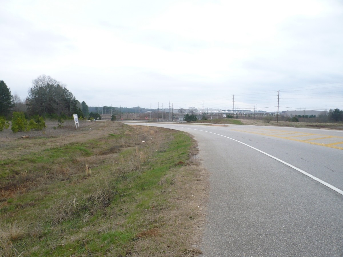
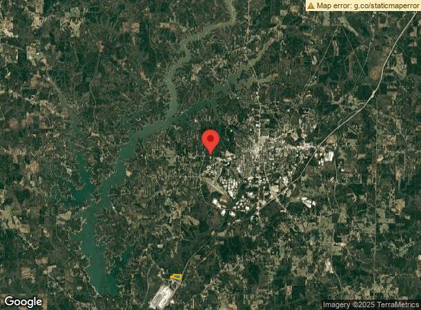
Property Record
Sandtown Rd, Lagrange, GA 30240

NEARBY LISTINGS FOR SALE OR LEASE
-
-
View all Lagrange listings for sale on LoopNet.com
Property Detail
Sandtown Rd
LaGrange, GA
Beaver Cove
077-0-000-032
SANDTOWN RD/TR1 PB14-PG90
Commercialacreage
Troup
X
Georgia
13285C0240E
70.58 AC
2024
Troup County
2024
Columbus GA
960300
DEMOGRAPHICS near Sandtown Rd
1 Mile
3 Mile
5 Mile
2024 Total Population
181
2,484
6,176
2029 Population
187
2,542
6,296
Pop Growth 2024-2029
+ 3.31%
+ 2.33%
+ 1.94%
Average Age
39
39
40
2024 Total Households
64
909
2,342
HH Growth 2024-2029
+ 3.13%
+ 2.53%
+ 2.05%
Median Household Inc
$49,545
$49,097
$49,292
Avg Household Size
2.70
2.60
2.60
2024 Avg HH Vehicles
2.00
2.00
2.00
Median Home Value
$164,285
$163,612
$177,940
Median Year Built
1993
1990
1987
Nearby Places
- Restaurants
- Banks
- Shops
- Fitness
- Groceries
SALE & LEASE HISTORY
LISTING DATE
SALE/LEASE

Oct 04, 2017
For Sale
Nearby Properties
Address
Land Use
TOTAL SIZE
Lot Size
Zoning
Address
Land Use
TOTAL SIZE
Lot Size
Zoning
35,964 SF
72.39 AC
16- CP-GI
Address
Land Use
TOTAL SIZE
Lot Size
Zoning
2,095 SF
16.50 AC
16- CP-GB
Address
Land Use
TOTAL SIZE
Lot Size
Zoning
17,328 SF
10.66 AC
16- CP-GB
Address
Land Use
TOTAL SIZE
Lot Size
Zoning
95,472 SF
30.05 AC
16- CR-MR
Address
Land Use
TOTAL SIZE
Lot Size
Zoning
109,533 SF
1.80 AC
16- DT-MX
Address
Land Use
TOTAL SIZE
Lot Size
Zoning
323,137 SF
34.65 AC
16- CP-GI
Address
Land Use
TOTAL SIZE
Lot Size
Zoning
174,899 SF
7.52 AC
16- TN-R
Address
Land Use
TOTAL SIZE
Lot Size
Zoning
4,909 SF
731.14 AC
16- CP-GI
Address
Land Use
TOTAL SIZE
Lot Size
Zoning
35,269 SF
22.34 AC
16- CR-MR
Address
Land Use
TOTAL SIZE
Lot Size
Zoning
159,645 SF
2.98 AC
16- DT-MX
Address
Land Use
TOTAL SIZE
Lot Size
Zoning
30,224 SF
19.82 AC
16- CP-GI
Address
Land Use
TOTAL SIZE
Lot Size
Zoning
29,520 SF
1.92 AC
16- CP-GB
Address
Land Use
TOTAL SIZE
Lot Size
Zoning
20,129 SF
357.53 AC
01-LR
Address
Land Use
TOTAL SIZE
Lot Size
Zoning
26,595 SF
20.13 AC
16- CR-MX
Address
Land Use
TOTAL SIZE
Lot Size
Zoning
551,306 SF
72.64 AC
16- CP-GI
Address
Land Use
TOTAL SIZE
Lot Size
Zoning
151,088 SF
7.10 AC
16- CP-GI
Address
Land Use
TOTAL SIZE
Lot Size
Zoning
89,395 SF
28.47 AC
16- TN-R
Address
Land Use
TOTAL SIZE
Lot Size
Zoning
27,080 SF
27.40 AC
16- CP-GB
Address
Land Use
TOTAL SIZE
Lot Size
Zoning
9,290 SF
11.58 AC
16- CP-GB
Address
Land Use
TOTAL SIZE
Lot Size
Zoning
56,580 SF
12.87 AC
16- CR-MX
Address
Land Use
TOTAL SIZE
Lot Size
Zoning
4,428 SF
9.67 AC
16- CR-MR
Address
Land Use
TOTAL SIZE
Lot Size
Zoning
97,903 SF
4.50 AC
16- CP-GI
Address
Land Use
TOTAL SIZE
Lot Size
Zoning
2,366 SF
8.70 AC
16- CR-MR
Address
Land Use
TOTAL SIZE
Lot Size
Zoning
57,971 SF
7.98 AC
16- CP-GB
Address
Land Use
TOTAL SIZE
Lot Size
Zoning
14,232 SF
2.59 AC
16- DT-MX
Address
Land Use
TOTAL SIZE
Lot Size
Zoning
133,950 SF
1.94 AC
16- DT-MX
Address
Land Use
TOTAL SIZE
Lot Size
Zoning
13,622 SF
30.60 AC
16- CP-GI
Address
Land Use
TOTAL SIZE
Lot Size
Zoning
91,254 SF
4.94 AC
16- CP-GB
Address
Land Use
TOTAL SIZE
Lot Size
Zoning
8,752 SF
13.43 AC
16- CR-MR
Address
Land Use
TOTAL SIZE
Lot Size
Zoning
58,322 SF
1.80 AC
16- DT-MX
The World's #1 Commercial Real Estate Marketplace
Connect with us
© 2025 CoStar Group
The information above has been obtained from sources believed reliable. While we do not doubt its accuracy we have not verified it and make no guarantee, warranty or representation about it. It is your responsibility to independently confirm its accuracy and completeness. Any projections, opinions, assumptions, or estimates used are for example only and do not represent the current or future performance of the property. The value of this transaction to you depends on tax and other factors which should be evaluated by your tax, financial, and legal advisors. You and your advisors should conduct a careful, independent investigation of the property to determine to your satisfaction the suitability of the property for your needs.