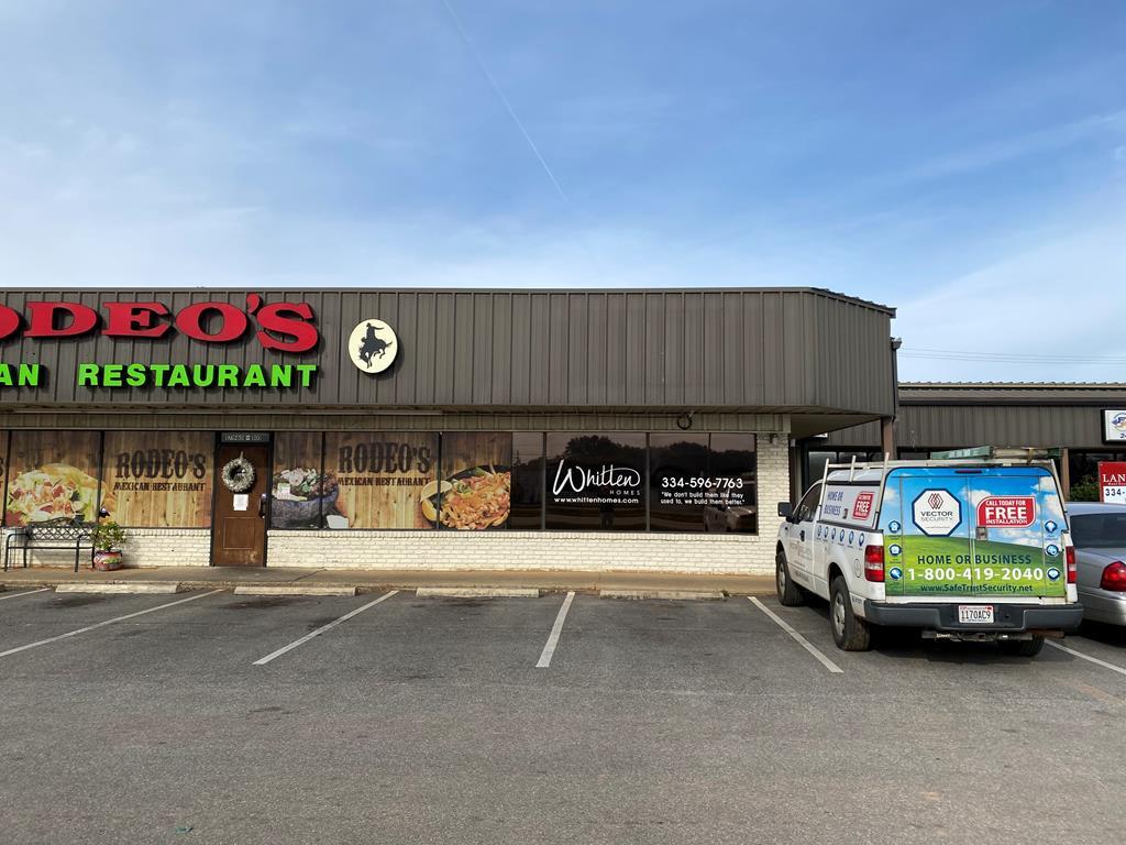
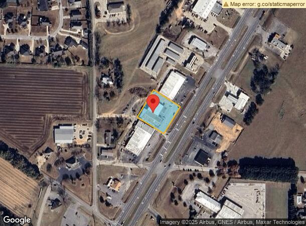
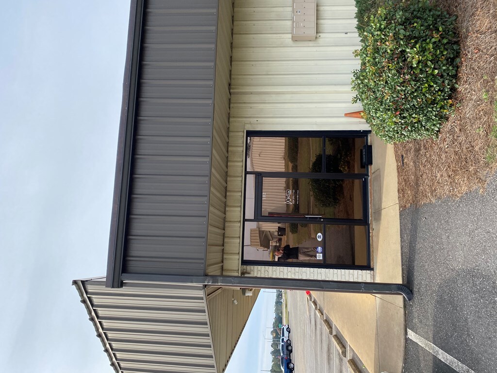
Property Record
Us Highway 431, Headland, AL 36345
NEARBY LISTINGS FOR SALE OR LEASE
-
-
View all Headland listings for lease on LoopNet.com
Property Detail
Us Highway 431
2402091000024000
BEG WHERE THE N R/W LINE OF CO RD 22 INT THE W R/W LINE OFHWY 431; TH NELY ALG SAID HWY 650' TO POB; TH NWLY 210';NELY210'; S
Commercialnec
Henry
X
Alabama
01069C0080G
1.01 AC
2024
Dothan/Enterprise
2024
Other Market Areas
030500
Dothan, AL
5,880 SF
DEMOGRAPHICS near Us Highway 431
1 Mile
3 Mile
5 Mile
2024 Total Population
2,245
5,391
9,292
2029 Population
2,373
5,706
9,738
Pop Growth 2024-2029
+ 5.70%
+ 5.84%
+ 4.80%
Average Age
40
41
40
2024 Total Households
893
2,136
3,672
HH Growth 2024-2029
+ 5.15%
+ 5.20%
+ 4.36%
Median Household Inc
$75,180
$71,584
$66,703
Avg Household Size
2.50
2.50
2.50
2024 Avg HH Vehicles
2.00
2.00
2.00
Median Home Value
$165,759
$162,851
$162,869
Median Year Built
1973
1981
1986
Nearby Places
- Restaurants
- Banks
- Shops
- Fitness
- Groceries
PUBLIC TRANSPORTATION
AIRPORT
Dothan Regional
DRIVE
WALK
Distance
Dothan Regional
21 min
14.1 mi
Freight Ports
Port of Panama City
DRIVE
WALK
Distance
Port of Panama City
123 min
94.1 mi
SALE & LEASE HISTORY
LISTING DATE
SALE/LEASE

Feb 28, 2021
For Lease
Nearby Properties
Address
Land Use
TOTAL SIZE
Lot Size
Zoning
Address
Land Use
TOTAL SIZE
Lot Size
Zoning
4,728 SF
5 AC
Address
Land Use
TOTAL SIZE
Lot Size
Zoning
1,840 SF
12 AC
Address
Land Use
TOTAL SIZE
Lot Size
Zoning
54,000 SF
36 AC
Address
Land Use
TOTAL SIZE
Lot Size
Zoning
8,520 SF
49 AC
Address
Land Use
TOTAL SIZE
Lot Size
Zoning
4,141 SF
5 AC
Address
Land Use
TOTAL SIZE
Lot Size
Zoning
3,312 SF
3 AC
Address
Land Use
TOTAL SIZE
Lot Size
Zoning
880 SF
6 AC
Address
Land Use
TOTAL SIZE
Lot Size
Zoning
23,233 SF
4 AC
Address
Land Use
TOTAL SIZE
Lot Size
Zoning
7,782 SF
1.26 AC
Address
Land Use
TOTAL SIZE
Lot Size
Zoning
11,600 SF
3 AC
Address
Land Use
TOTAL SIZE
Lot Size
Zoning
3,810 SF
11 AC
Address
Land Use
TOTAL SIZE
Lot Size
Zoning
912 SF
2 AC
Address
Land Use
TOTAL SIZE
Lot Size
Zoning
7,200 SF
12 AC
Address
Land Use
TOTAL SIZE
Lot Size
Zoning
14,175 SF
1 AC
Address
Land Use
TOTAL SIZE
Lot Size
Zoning
12,000 SF
9 AC
Address
Land Use
TOTAL SIZE
Lot Size
Zoning
10,555 SF
4 AC
Address
Land Use
TOTAL SIZE
Lot Size
Zoning
13,719 SF
3 AC
Address
Land Use
TOTAL SIZE
Lot Size
Zoning
3,562 SF
2 AC
Address
Land Use
TOTAL SIZE
Lot Size
Zoning
2,170 SF
1.29 AC
Address
Land Use
TOTAL SIZE
Lot Size
Zoning
3,435 SF
1 AC
Address
Land Use
TOTAL SIZE
Lot Size
Zoning
3,120 SF
3 AC
Address
Land Use
TOTAL SIZE
Lot Size
Zoning
Address
Land Use
TOTAL SIZE
Lot Size
Zoning
4,506 SF
2.07 AC
Address
Land Use
TOTAL SIZE
Lot Size
Zoning
13,125 SF
4 AC
Address
Land Use
TOTAL SIZE
Lot Size
Zoning
3,489 SF
2.15 AC
Address
Land Use
TOTAL SIZE
Lot Size
Zoning
9,666 SF
1.44 AC
Address
Land Use
TOTAL SIZE
Lot Size
Zoning
4,800 SF
65 AC
Address
Land Use
TOTAL SIZE
Lot Size
Zoning
12,200 SF
0.34 AC
Address
Land Use
TOTAL SIZE
Lot Size
Zoning
13,836 SF
1 AC
Address
Land Use
TOTAL SIZE
Lot Size
Zoning
8,503 SF
2 AC
The World's #1 Commercial Real Estate Marketplace
Connect with us
© 2025 CoStar Group
The information above has been obtained from sources believed reliable. While we do not doubt its accuracy we have not verified it and make no guarantee, warranty or representation about it. It is your responsibility to independently confirm its accuracy and completeness. Any projections, opinions, assumptions, or estimates used are for example only and do not represent the current or future performance of the property. The value of this transaction to you depends on tax and other factors which should be evaluated by your tax, financial, and legal advisors. You and your advisors should conduct a careful, independent investigation of the property to determine to your satisfaction the suitability of the property for your needs.