Property Record
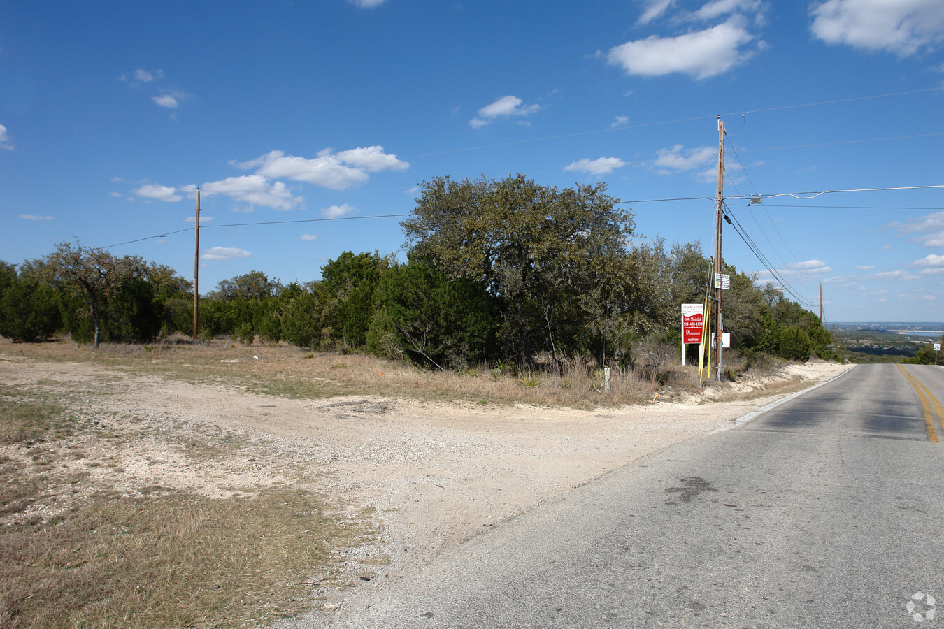
W State Hy 71, Spicewood, TX 78669

NEARBY LISTINGS FOR SALE OR LEASE
Property Detail
W State Hy 71
Austin-Round Rock, TX
Scott G W
355478
ABS 2569 SUR 50 SCOTT G W ACR 9.17
Farms
Travis
X
Texas
48453C0380J
9.18 AC
2023
Southwest
2023
Austin
001764
DEMOGRAPHICS near W State Hy 71
1 Mile
3 Mile
5 Mile
2024 Total Population
1,728
9,071
28,739
2029 Population
1,868
10,109
32,074
Pop Growth 2024-2029
+ 8.10%
+ 11.44%
+ 11.60%
Average Age
39
40
42
2024 Total Households
557
3,078
10,418
HH Growth 2024-2029
+ 8.80%
+ 12.18%
+ 12.20%
Median Household Inc
$156,707
$155,870
$151,149
Avg Household Size
3.00
2.90
2.70
2024 Avg HH Vehicles
2.00
2.00
2.00
Median Home Value
$602,564
$717,336
$690,808
Median Year Built
2008
2010
2010
Nearby Places
- Restaurants
- Banks
- Shops
- Fitness
- Groceries
PUBLIC TRANSPORTATION
AIRPORT
Austin-Bergstrom International
DRIVE
WALK
Distance
Austin-Bergstrom International
50 min
31.2 mi
Freight Ports
Calhoun Port
DRIVE
WALK
Distance
Calhoun Port
215 min
174.7 mi
Nearby Properties
Address
Land Use
TOTAL SIZE
Lot Size
Zoning
Address
Land Use
TOTAL SIZE
Lot Size
Zoning
1,159.66 AC
Address
Land Use
TOTAL SIZE
Lot Size
Zoning
936 SF
70 AC
Address
Land Use
TOTAL SIZE
Lot Size
Zoning
76,000 SF
6.50 AC
Address
Land Use
TOTAL SIZE
Lot Size
Zoning
99,700 SF
4.40 AC
Address
Land Use
TOTAL SIZE
Lot Size
Zoning
36,975 SF
4.40 AC
Address
Land Use
TOTAL SIZE
Lot Size
Zoning
95,624 SF
5.78 AC
Address
Land Use
TOTAL SIZE
Lot Size
Zoning
225.11 AC
Address
Land Use
TOTAL SIZE
Lot Size
Zoning
13.87 AC
Address
Land Use
TOTAL SIZE
Lot Size
Zoning
214.14 AC
Address
Land Use
TOTAL SIZE
Lot Size
Zoning
212.08 AC
Address
Land Use
TOTAL SIZE
Lot Size
Zoning
35,930 SF
18.58 AC
Address
Land Use
TOTAL SIZE
Lot Size
Zoning
12,592 SF
24.61 AC
Address
Land Use
TOTAL SIZE
Lot Size
Zoning
81.66 AC
Address
Land Use
TOTAL SIZE
Lot Size
Zoning
157.98 AC
Address
Land Use
TOTAL SIZE
Lot Size
Zoning
22,333 SF
2.46 AC
Address
Land Use
TOTAL SIZE
Lot Size
Zoning
50,706 SF
4.15 AC
Address
Land Use
TOTAL SIZE
Lot Size
Zoning
146.05 AC
Address
Land Use
TOTAL SIZE
Lot Size
Zoning
25,574 SF
3.54 AC
Address
Land Use
TOTAL SIZE
Lot Size
Zoning
22,400 SF
4.11 AC
Address
Land Use
TOTAL SIZE
Lot Size
Zoning
21,578 SF
8.50 AC
Address
Land Use
TOTAL SIZE
Lot Size
Zoning
222.94 AC
Address
Land Use
TOTAL SIZE
Lot Size
Zoning
17,626 SF
5.35 AC
Address
Land Use
TOTAL SIZE
Lot Size
Zoning
10,200 SF
2.58 AC
Address
Land Use
TOTAL SIZE
Lot Size
Zoning
25,200 SF
10 AC
Address
Land Use
TOTAL SIZE
Lot Size
Zoning
1,060 SF
27.89 AC
Address
Land Use
TOTAL SIZE
Lot Size
Zoning
1,064 SF
80 AC
Address
Land Use
TOTAL SIZE
Lot Size
Zoning
2,175 SF
59.56 AC
Address
Land Use
TOTAL SIZE
Lot Size
Zoning
6,000 SF
3.22 AC
Address
Land Use
TOTAL SIZE
Lot Size
Zoning
1,545 SF
88.98 AC
The World's #1 Commercial Real Estate Marketplace
Connect with us
© 2025 CoStar Group
The information above has been obtained from sources believed reliable. While we do not doubt its accuracy we have not verified it and make no guarantee, warranty or representation about it. It is your responsibility to independently confirm its accuracy and completeness. Any projections, opinions, assumptions, or estimates used are for example only and do not represent the current or future performance of the property. The value of this transaction to you depends on tax and other factors which should be evaluated by your tax, financial, and legal advisors. You and your advisors should conduct a careful, independent investigation of the property to determine to your satisfaction the suitability of the property for your needs.