Property Record
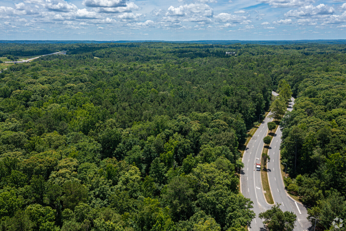
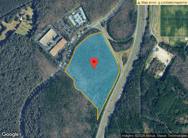
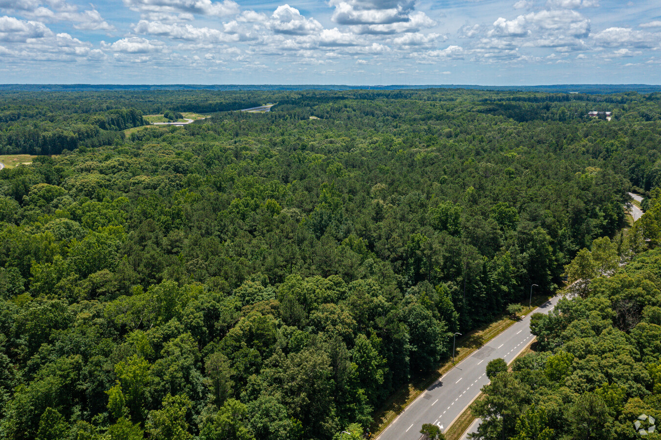
W Creek Pkwy, Henrico, VA 23238
NEARBY LISTINGS FOR SALE OR LEASE
Property Detail
W Creek Pkwy
63-37-1-1
WEST CREEK PHASE 1 23.18AC OUT OF 64-20-2 & 64-20-1 #06-3231 PCE 11
Multipleuses
Goochland
X
Virginia
51075C0306C
23.18 AC
2023
West Creek
2023
Richmond VA
400100
Richmond, VA
DEMOGRAPHICS near W Creek Pkwy
1 Mile
3 Mile
5 Mile
2024 Total Population
980
25,057
82,847
2029 Population
1,133
25,831
84,843
Pop Growth 2024-2029
+ 15.61%
+ 3.09%
+ 2.41%
Average Age
47
44
42
2024 Total Households
430
10,478
33,044
HH Growth 2024-2029
+ 15.81%
+ 3.25%
+ 2.47%
Median Household Inc
$105,105
$97,746
$113,941
Avg Household Size
2.20
2.30
2.40
2024 Avg HH Vehicles
2.00
2.00
2.00
Median Home Value
$584,091
$419,475
$479,067
Median Year Built
2006
1987
1990
Nearby Places
- Restaurants
- Banks
- Shops
- Fitness
- Groceries
PUBLIC TRANSPORTATION
AIRPORT
Richmond International
DRIVE
WALK
Distance
Richmond International
40 min
25.6 mi
Freight Ports
Virginia Port Authority - Richmond
DRIVE
WALK
Distance
Virginia Port Authority - Richmond
38 min
23.9 mi
SALE & LEASE HISTORY
LISTING DATE
SALE/LEASE

Sep 25, 2016
For Lease
Nearby Properties
Address
Land Use
TOTAL SIZE
Lot Size
Zoning
Address
Land Use
TOTAL SIZE
Lot Size
Zoning
3,300 SF
286.94 AC
M1-INDUS/L
Address
Land Use
TOTAL SIZE
Lot Size
Zoning
22.47 AC
M1-INDUS/L
Address
Land Use
TOTAL SIZE
Lot Size
Zoning
230,955 SF
48.48 AC
MIXE
Address
Land Use
TOTAL SIZE
Lot Size
Zoning
26,163 SF
12.02 AC
A-1
Address
Land Use
TOTAL SIZE
Lot Size
Zoning
179,920 SF
16.23 AC
R-5
Address
Land Use
TOTAL SIZE
Lot Size
Zoning
243,000 SF
130.85 AC
M1-INDUS/L
Address
Land Use
TOTAL SIZE
Lot Size
Zoning
352,296 SF
23.62 AC
R-5
Address
Land Use
TOTAL SIZE
Lot Size
Zoning
271,263 SF
18.81 AC
MIXE
Address
Land Use
TOTAL SIZE
Lot Size
Zoning
176,520 SF
17.61 AC
R-5
Address
Land Use
TOTAL SIZE
Lot Size
Zoning
109,096 SF
50.04 AC
A2R1-AG LT
Address
Land Use
TOTAL SIZE
Lot Size
Zoning
97,890 SF
9.87 AC
R-6
Address
Land Use
TOTAL SIZE
Lot Size
Zoning
219,450 SF
27.74 AC
M1-INDUS/L
Address
Land Use
TOTAL SIZE
Lot Size
Zoning
227 AC
M1-INDUS/L
Address
Land Use
TOTAL SIZE
Lot Size
Zoning
35.54 AC
B1-BUS/GEN
Address
Land Use
TOTAL SIZE
Lot Size
Zoning
29,123 SF
269.03 AC
RPUD-RES/P
Address
Land Use
TOTAL SIZE
Lot Size
Zoning
45,990 SF
35.98 AC
A2-AG/LTD
Address
Land Use
TOTAL SIZE
Lot Size
Zoning
86,375 SF
2.08 AC
MIXE
Address
Land Use
TOTAL SIZE
Lot Size
Zoning
74,444 SF
7.70 AC
R-6C
Address
Land Use
TOTAL SIZE
Lot Size
Zoning
102,904 SF
20 AC
M1-INDUS/L
Address
Land Use
TOTAL SIZE
Lot Size
Zoning
112,700 SF
8.10 AC
R-6
Address
Land Use
TOTAL SIZE
Lot Size
Zoning
1,968 SF
31.93 AC
MIXE
Address
Land Use
TOTAL SIZE
Lot Size
Zoning
18 AC
M1-INDUS/L
Address
Land Use
TOTAL SIZE
Lot Size
Zoning
105,337 SF
11.24 AC
B-3
Address
Land Use
TOTAL SIZE
Lot Size
Zoning
11,397 SF
57.43 AC
M1-INDUS/L
Address
Land Use
TOTAL SIZE
Lot Size
Zoning
68,778 SF
1.41 AC
R-6C
Address
Land Use
TOTAL SIZE
Lot Size
Zoning
52,572 SF
16.04 AC
B-2C
Address
Land Use
TOTAL SIZE
Lot Size
Zoning
90,889 SF
7.30 AC
M1-INDUS/L
Address
Land Use
TOTAL SIZE
Lot Size
Zoning
90,670 SF
5.96 AC
B-2C
Address
Land Use
TOTAL SIZE
Lot Size
Zoning
17.69 AC
M2-INDUS/G
Address
Land Use
TOTAL SIZE
Lot Size
Zoning
1.16 AC
B1-BUS/GEN
The World's #1 Commercial Real Estate Marketplace
Connect with us
© 2025 CoStar Group
The information above has been obtained from sources believed reliable. While we do not doubt its accuracy we have not verified it and make no guarantee, warranty or representation about it. It is your responsibility to independently confirm its accuracy and completeness. Any projections, opinions, assumptions, or estimates used are for example only and do not represent the current or future performance of the property. The value of this transaction to you depends on tax and other factors which should be evaluated by your tax, financial, and legal advisors. You and your advisors should conduct a careful, independent investigation of the property to determine to your satisfaction the suitability of the property for your needs.